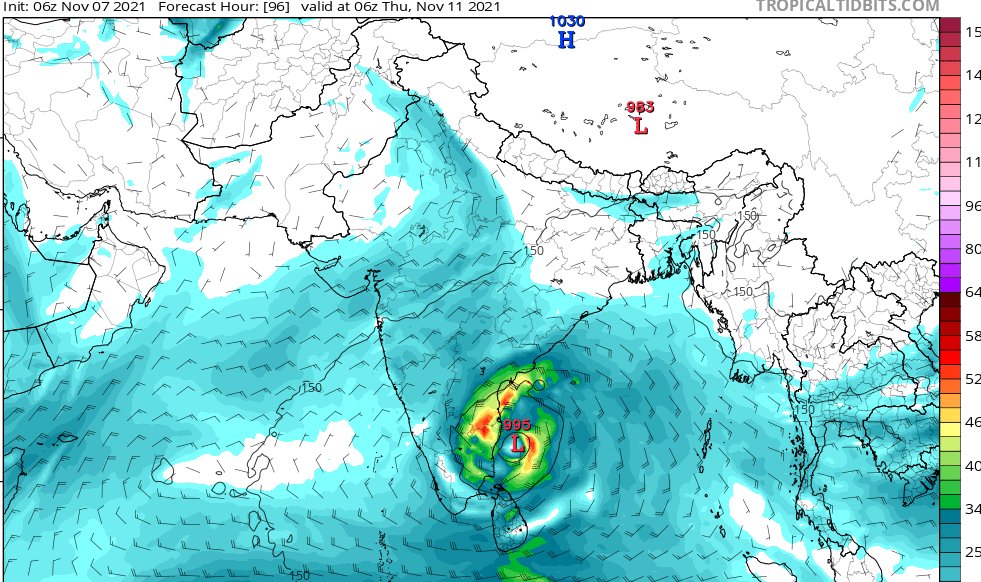
91B is gradually intensifying and rainfall will gradually increase over the course of the day.
Whatever warnings that were given still hold good.
Avoid venturing out.
#ChennaiRains #Chennai #ChennaiRain #chennaifloods #ChennaiRains2021 #ChennaiFlood #chennaiweather
Whatever warnings that were given still hold good.
Avoid venturing out.
#ChennaiRains #Chennai #ChennaiRain #chennaifloods #ChennaiRains2021 #ChennaiFlood #chennaiweather
#Nellore to #Karaikkal coast to be on high alert as the system is consolidating and the cloud bands are getting organized- slowly and steadily.
This would mean that rains will be more as the system nears the coast
This would mean that rains will be more as the system nears the coast
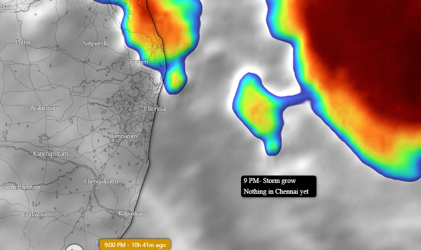
Many asked me that there is not as much rainfall as anticipated. This would be primarily because the system is getting organized slowly and building a strong convective outer band. You can clearly see in the below image 

The more it is getting delayed- the dangerous it gets.
Also- unlike earlier systems- this system might cross land over the coast of #Chennai - Ennore to Mahabalipuram is where models have suggested.
This is not a cyclone. So the damage would be more from rains - not winds
Also- unlike earlier systems- this system might cross land over the coast of #Chennai - Ennore to Mahabalipuram is where models have suggested.
This is not a cyclone. So the damage would be more from rains - not winds
Please stay home and stay safe.
• • •
Missing some Tweet in this thread? You can try to
force a refresh


