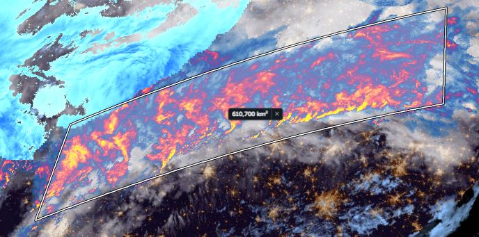
Atmospheric Extreme Weather event overnight in the Mid West and North East United States.
Another view of this colossal January tropical Pacific origin rain/storm band.
A 610,000 km2 procession of thunderstorms over an area larger than France.

• • •

Missing some Tweet in this thread? You can try to force a refresh
 

Keep Current with Alastair Thompson

Alastair Thompson Profile picture

Stay in touch and get notified when new unrolls are available from this author!

Read all threads

This Thread may be Removed Anytime!

PDF

Twitter may remove this content at anytime! Save it as PDF for later use!

Try unrolling a thread yourself!

how to unroll video
  1. Follow @ThreadReaderApp to mention us!

  2. From a Twitter thread mention us with a keyword "unroll"
@threadreaderapp unroll

Practice here first or read more on our help page!

More from @althecat

2 Jan
Something extraordinary is happening in the Middle East weather wise.

This thread begins in Ethiopia because it is playing a part in this, and will also receive rain from albeit not on the scale of what is happening to the north, in places where they are not used to this much.
The thread attached here is supplementary, posted earlier it contains videos mostly from @Arab_Storms who is based in the UAE whose account is documenting #ExtremeWeather events, with a focus on the #MiddleEast

It contains videos mostly from yesterday.
@Arab_Storms This thread relates to today, or more specifically the last 24 hours which has seen even greater storm activity than yesterday. This thread posted last night contains similar data to what I will be posting now about the extent and location of rainfall.
Read 32 tweets
2 Jan
Interesting, Hael (sometimes spelled Hail) may well be where the word “hail” comes from. Earlier in the year it had some amazing hail storms. Weather in the Middle East atm really is seriously cray cray.
Read 14 tweets
31 Dec 21
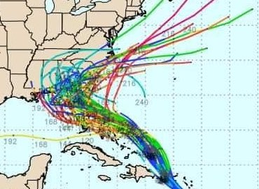
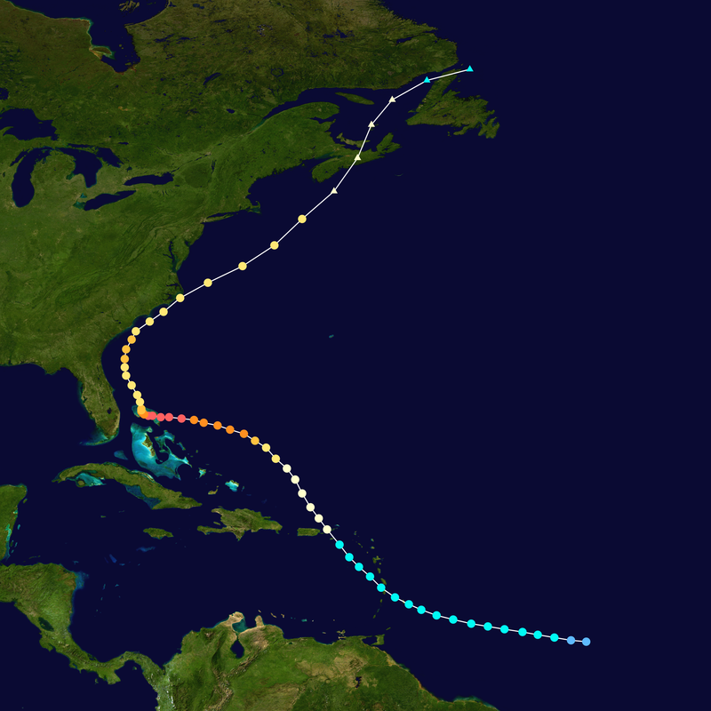
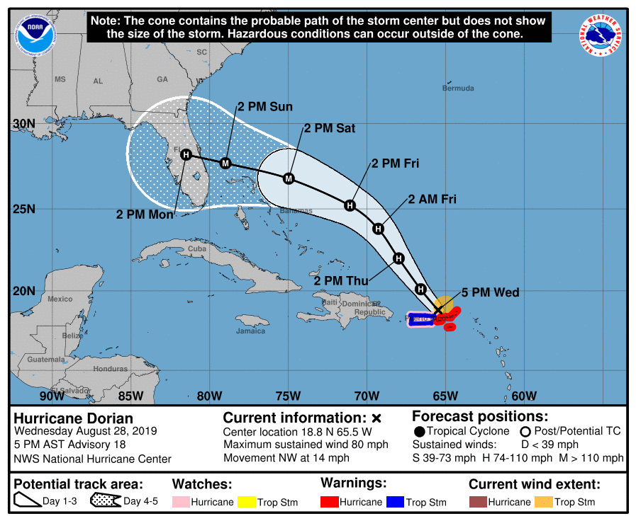
This thread is about Hurricane Dorian, the storm that was originally forecast to make a devastating landfall on Mar-A-Lago, and which Trump famously claimed was going to head to Alabama.

It was inspired by new imagery which we now have of this happening on @NASA Worldview.
@NASA While Trump was widely ridiculed at the time for suggesting that the storm might make its way to Alabama, initial forecasts did indicate that it would take a path in that direction.
@NASA From my thread at the time (August 28th), the map shown here is the one that he added to in an oval office press conference on September 5th 2021 (Video here >> abc.net.au/news/2019-09-0…), were he added his modified forecast for Hurricane Dorian's path.
Read 21 tweets
31 Dec 21
Selective reporting plus selective quoting make for an interesting melange. @LaurenBinDC’s cognitive dissonance echoes loudly in this thread.

She fails to mention for example that @1_filsan didn’t resign till September.
Meanwhile the @washingtonpost’s report fails to mention that the Govt of Ethiopia convened not only the task force that Filsan ran to establish the truth early in the war, which clearly was not the reason for her resignation, but also prosecuted offenders in military courts.
This interview addresses that core issue and #Washpo / @maxbearak’s failure to even mention that this took place - it may be ongoing - is journalistic malpractice given current heightened levels concern about US media reporting.
Read 17 tweets
30 Dec 21
So here we have a Western academic, European, telling Ethiopia that unless it accepts two terrorist groups as participants in a planned national dialogue, that dialogue is worthless, just symbolic.

Interesting take.
This particular scholar has been talking all manner of nonsense lately. His conduct reflects poorly on the institutions he names in his Twitter bio.

The effort to bring peace to Ethiopia after hopefully silencing the guns is nascent, barely begun.
And this scholar dismisses it out of hand.
Read 5 tweets
29 Dec 21
#WeirdWeather

In the North of the North Pacific up near Alaska there is a very large area of clear Ocean that that can be seen through the clouds which looks a little like a giant rotating eye.
Here we see it in context along side North America, and the entire rotating high-pressure area appears to be roughly the size of North America. Its presence appears to be contributing to the big freeze in Canada and all the snow in the US.
The image above shows the #EyeOfThePacific on December 26-27.

And here we see it on December 27-28. At the bottom of the animations you can see the onshore atmospheric river flows which are bringing massive rains to California, and moisture to the midwest and north east.
Read 13 tweets

Did Thread Reader help you today?

Support us! We are indie developers!


This site is made by just two indie developers on a laptop doing marketing, support and development! Read more about the story.

Become a Premium Member ($3/month or $30/year) and get exclusive features!

Become Premium

Too expensive? Make a small donation by buying us coffee ($5) or help with server cost ($10)

Donate via Paypal

Or Donate anonymously using crypto!

Ethereum

0xfe58350B80634f60Fa6Dc149a72b4DFbc17D341E copy

Bitcoin

3ATGMxNzCUFzxpMCHL5sWSt4DVtS8UqXpi copy

Thank you for your support!

Follow Us on Twitter!

:(