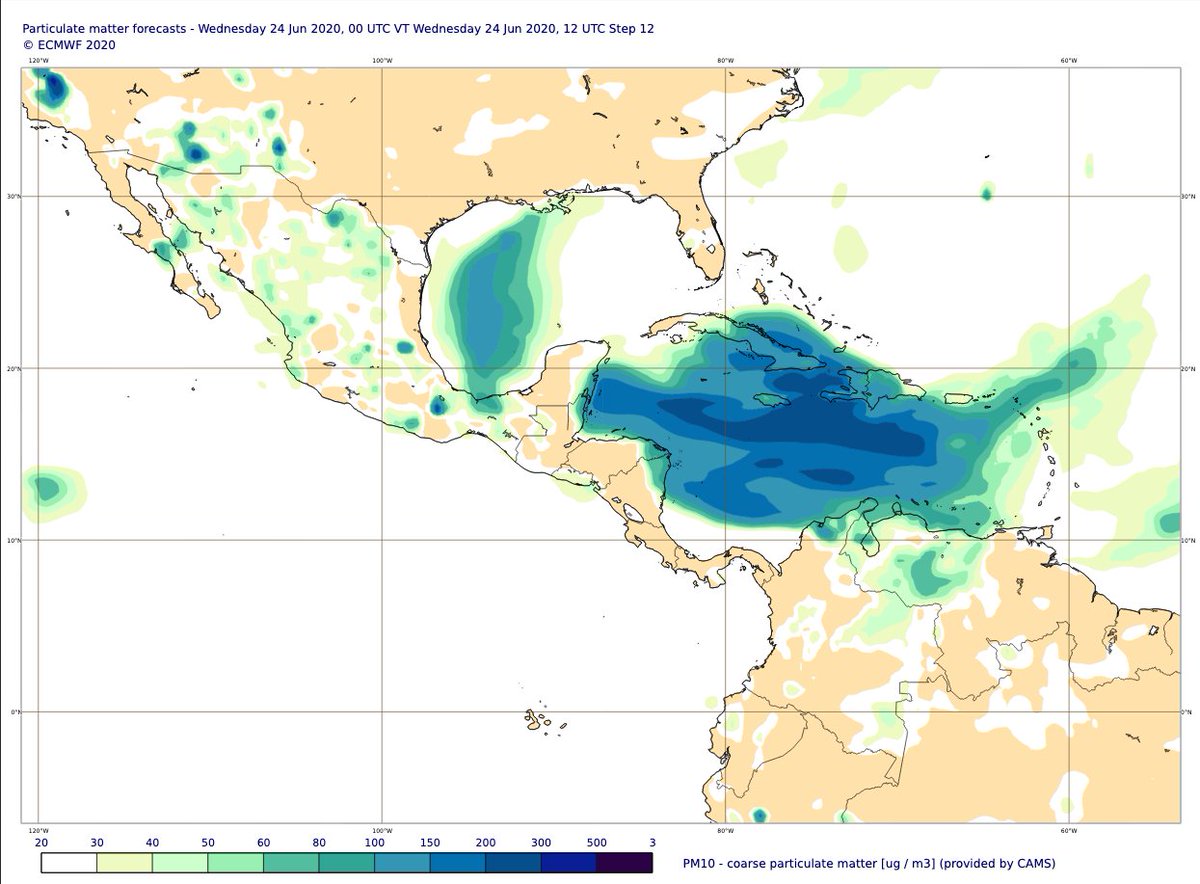
High dust AOD & surface PM10 in #Copernicus Atmosphere Monitoring Service forecast for 12UTC on 22 June atmosphere.copernicus.eu/charts/cams/, + initial evaluation vs Aeronet at Ragged Point🇧🇧, Guadeloupe🇫🇷, Cape San Juan & La Parguera🇵🇷as #SaharanDust plume crosses Caribbean & Gulf of Mexico 



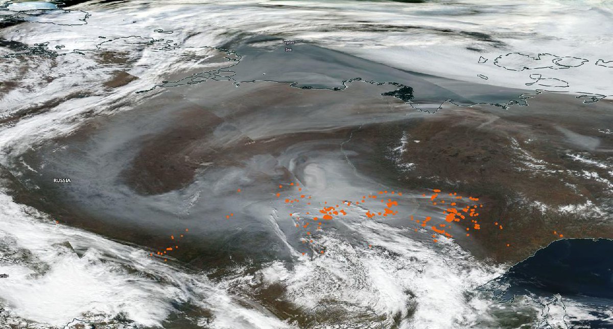
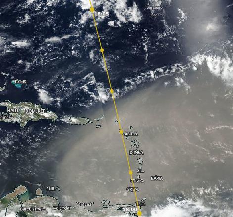
Initial evaluation of aerosol profiles vs CALIPSO along orbit track crossing the plume on 21 June also shows good general agreement with plume altitude & distribution. VIIRS visible satellite imagery from go.nasa.gov/2B78EJx 


cc @DustyCRyder @SanGasso @aire_sergio_rod @UMiamiRSMAS @Dust_Barcelona @DustStormNews @dust_deviler @SaraBasart @cp_garcia_pando @henk_eskes @VHPeuch @RichardJEngelen @AntjeInness @defis_eu
• • •
Missing some Tweet in this thread? You can try to
force a refresh


