In many ways, the outskirts of Rome are more spectacular than the ancient city itself.
From 2,000 year old roads to towering aqueducts, follow this thread to join 4 archaeologists on a long-overdue walk along the beautiful Via Appia!
#rome #archaeology #ClassicsTwitter #italy
From 2,000 year old roads to towering aqueducts, follow this thread to join 4 archaeologists on a long-overdue walk along the beautiful Via Appia!
#rome #archaeology #ClassicsTwitter #italy
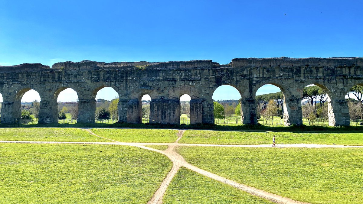
The Via Appia Antica, or Appian Way, is one of the earliest examples of a Roman highway. Beginning in the Roman Forum, it runs southeast all the way to the southern Italian city of Brindisi on the Adriatic Coast!
But we’re starting our walk much closer to home!
But we’re starting our walk much closer to home!
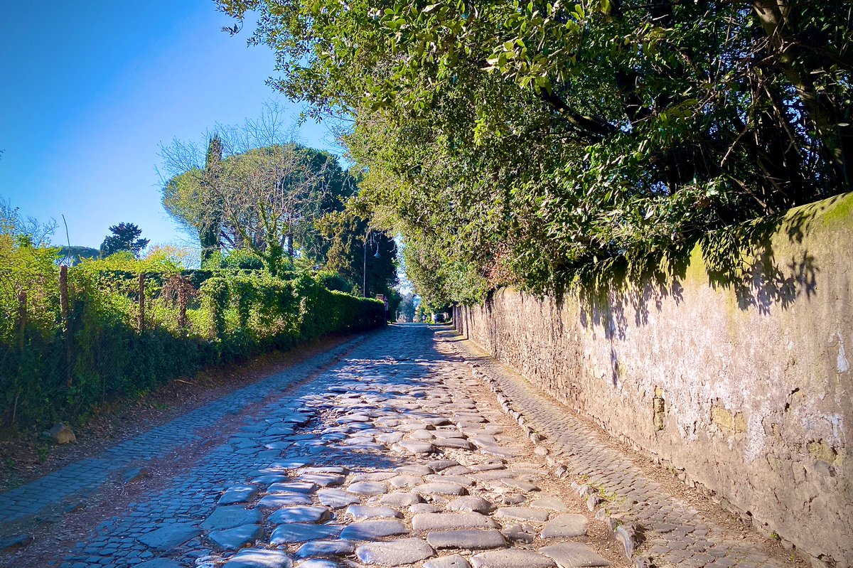
Even though Rome’s strict #COVID lockdown has been partially lifted for a few short days, we’re still not permitted to leave the commune.
That means our trip along the Appian Way has to begin at the inconspicuous Capannelle Station, as far afield as we’re allowed!

That means our trip along the Appian Way has to begin at the inconspicuous Capannelle Station, as far afield as we’re allowed!
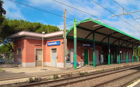
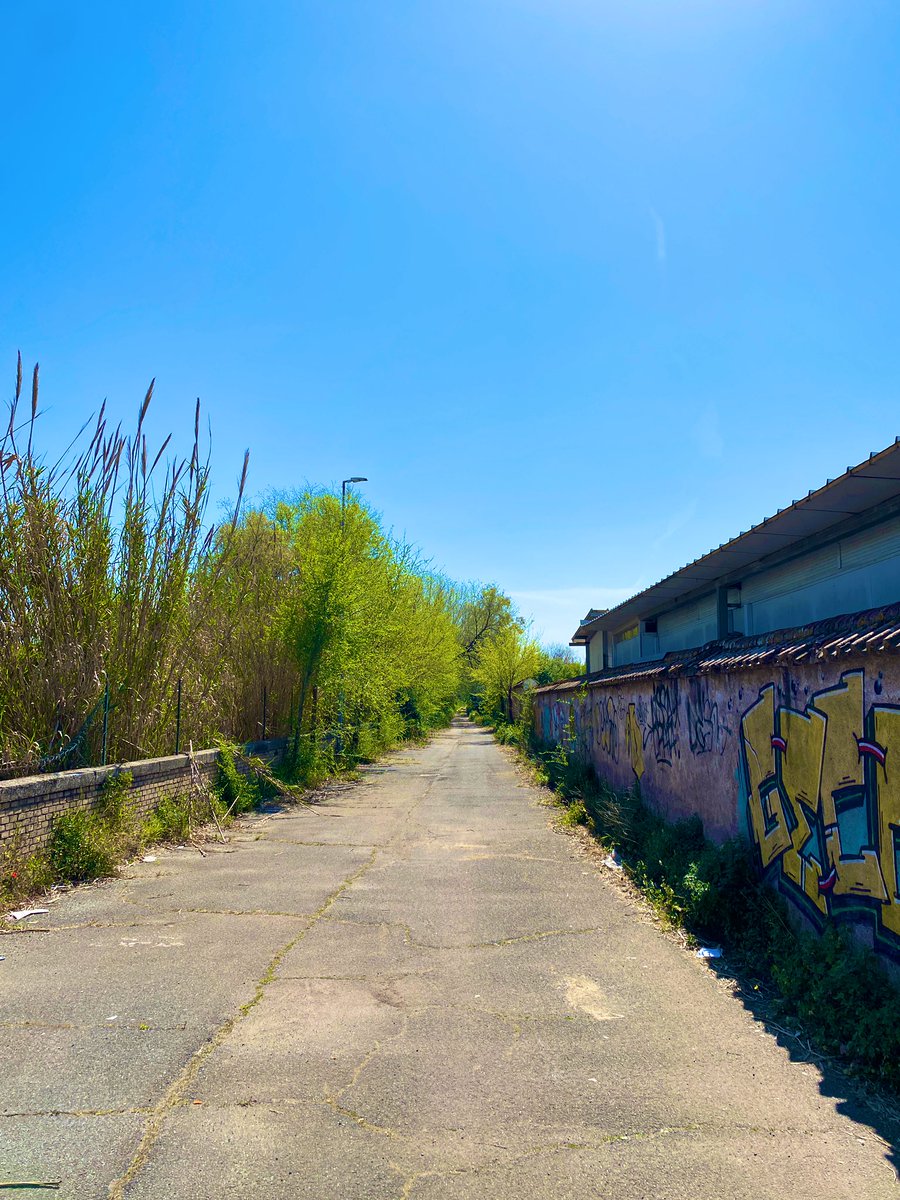
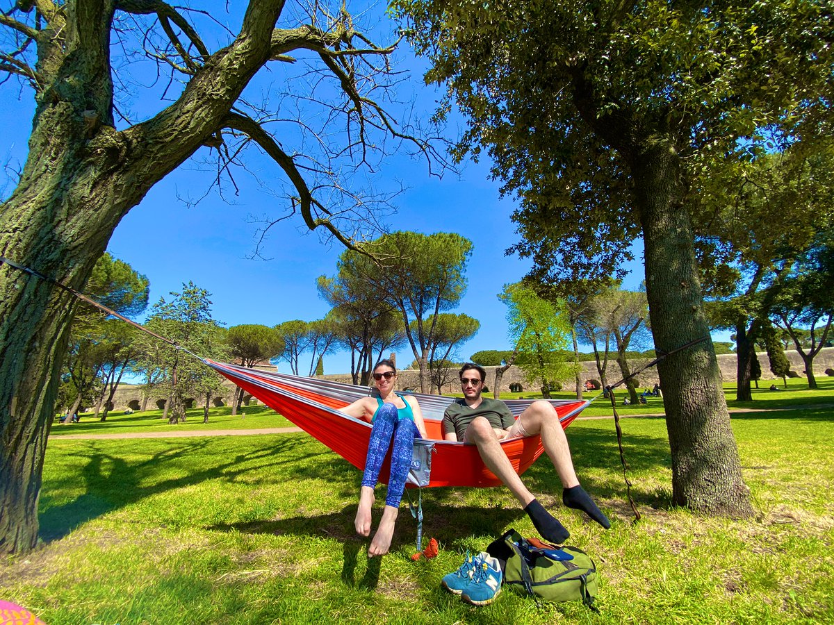
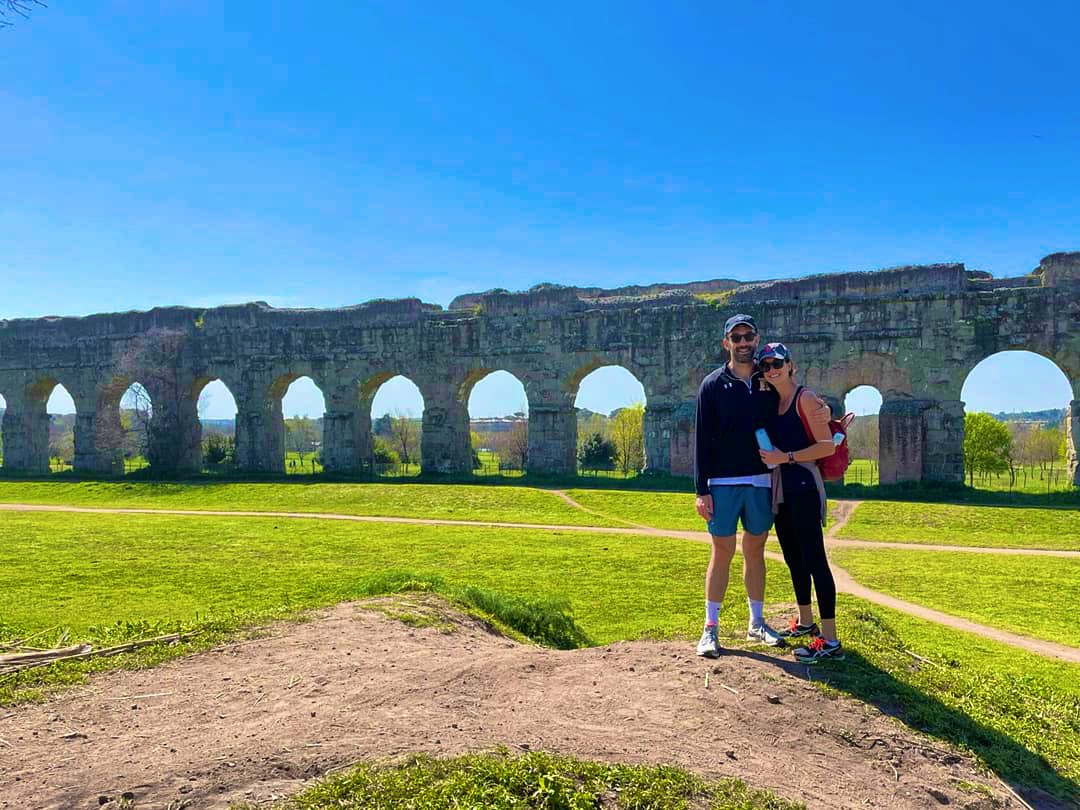
Before trekking down the Via Appia proper, we jog north to the incredible Parco degli Acquedotti! Long stretches of tall aqueducts run through this beautiful park, which was filled with Roman suburbanites taking advantage of the amazing spring weather!
☀️🇮🇹

☀️🇮🇹
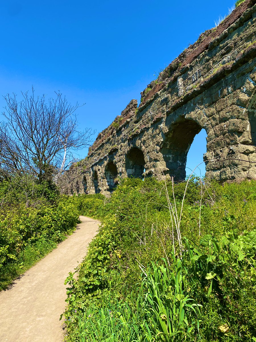
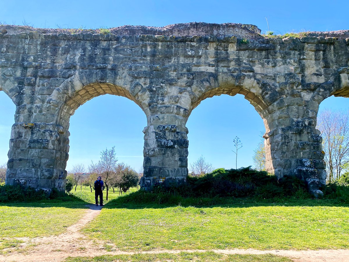
Aqueducts are synonymous with Roman engineering, but most of them were actually subterranean. The Parco degli Acquedotti is special because two of Rome’s most important waterworks are very visible.
The tall arches of the Aqua Claudia are contrasted by the stout Aqua Felice!

The tall arches of the Aqua Claudia are contrasted by the stout Aqua Felice!
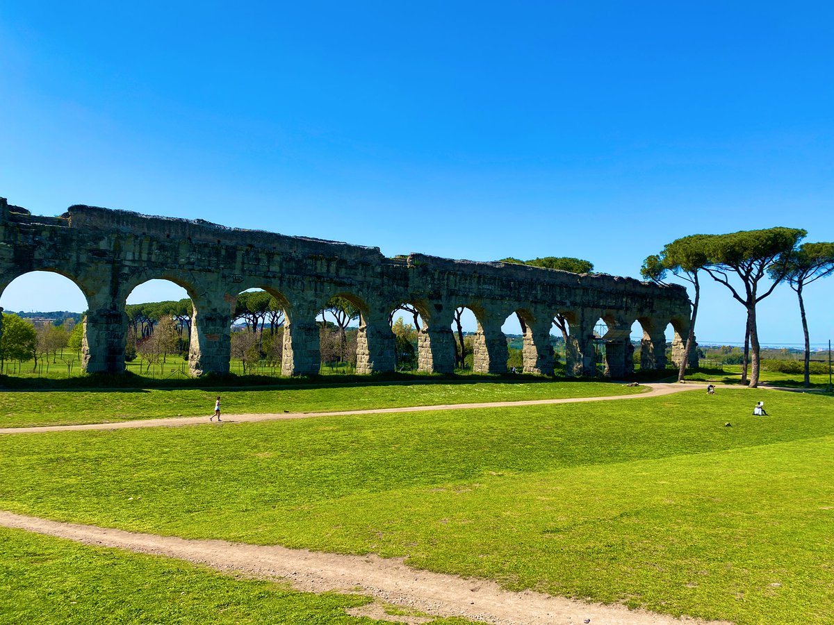
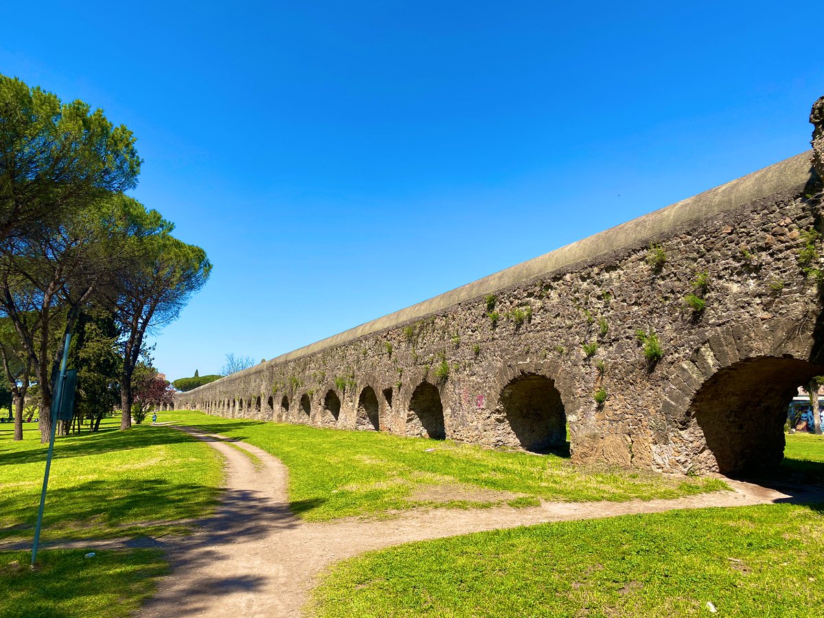
This park also preserves the enchanting landscape of Campagna, which has long inspired visits from artists, poets, & travelers.
In 1832, the American landscape painter Thomas Cole sat on the same rolling hills, sketching a stretch of the Aqua Claudia!
@DIADetroit @TheWadsworth

In 1832, the American landscape painter Thomas Cole sat on the same rolling hills, sketching a stretch of the Aqua Claudia!
@DIADetroit @TheWadsworth
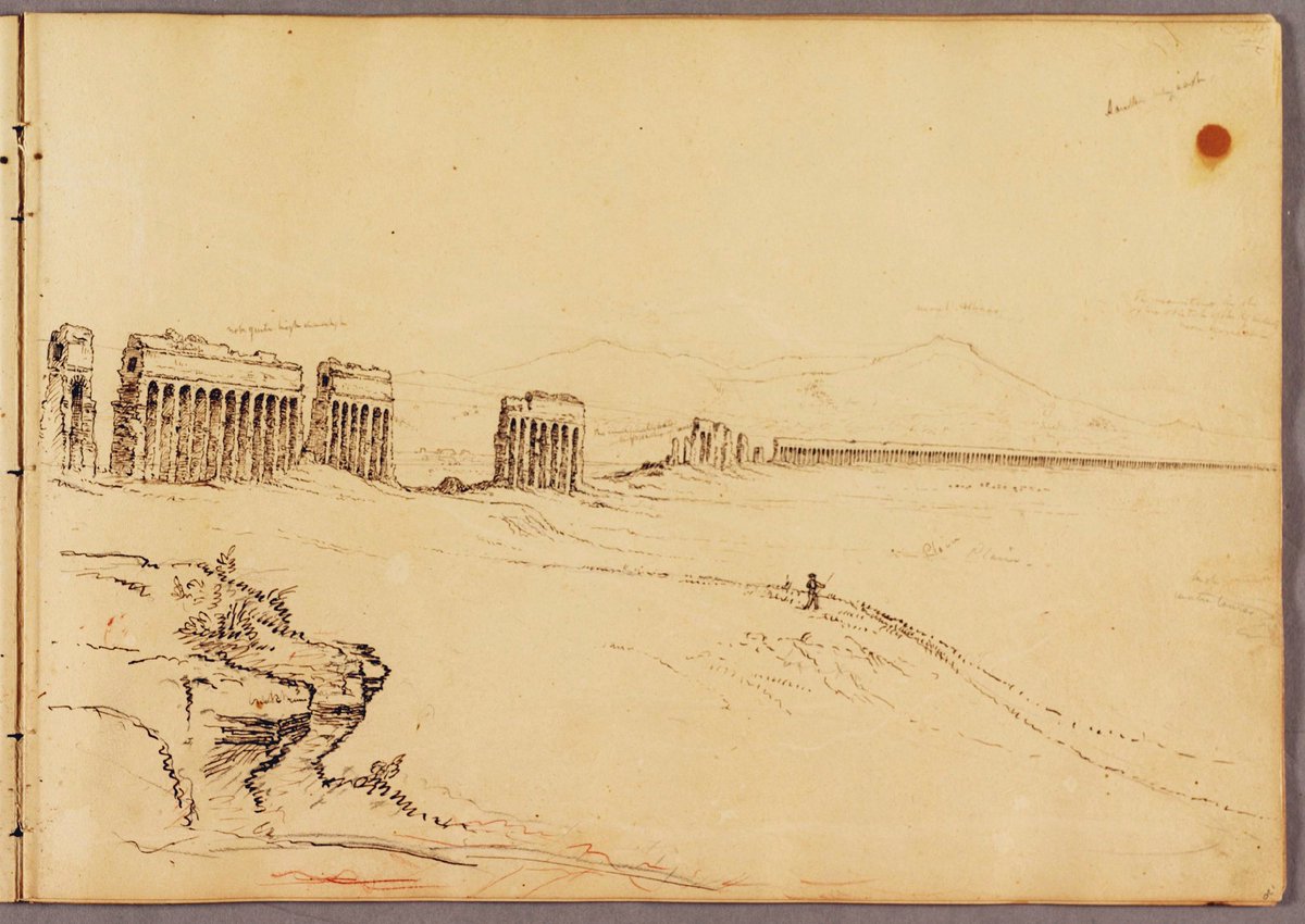
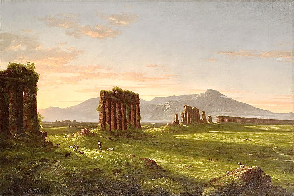
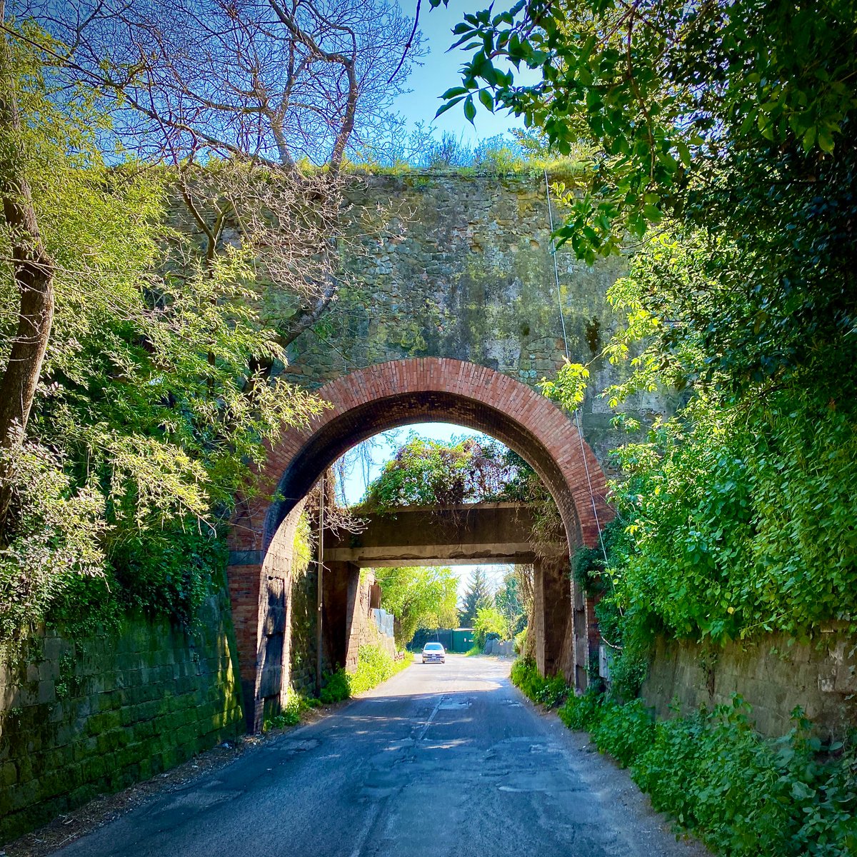
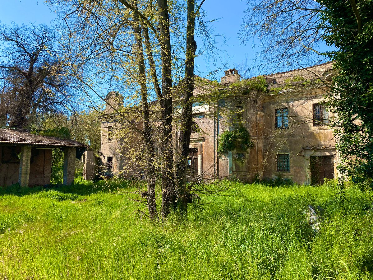
From the Parco degli Acquedotti, we had to get off the beaten path to reach the Parco della Caffarella.
We took a wrong turn once or twice, but we were always greeted by something special, from a wonderful old bridge to some amazing abandoned villas!


We took a wrong turn once or twice, but we were always greeted by something special, from a wonderful old bridge to some amazing abandoned villas!
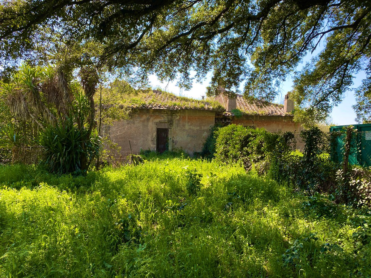
Known in antiquity as the Triopius, the Parco della Caffarella was once home to the notorious Athenian polymath Herodes Atticus.
Monuments across the park pay homage to its former owner and time as an agricultural estate, from enormous cisterns to monumental tombs!

Monuments across the park pay homage to its former owner and time as an agricultural estate, from enormous cisterns to monumental tombs!
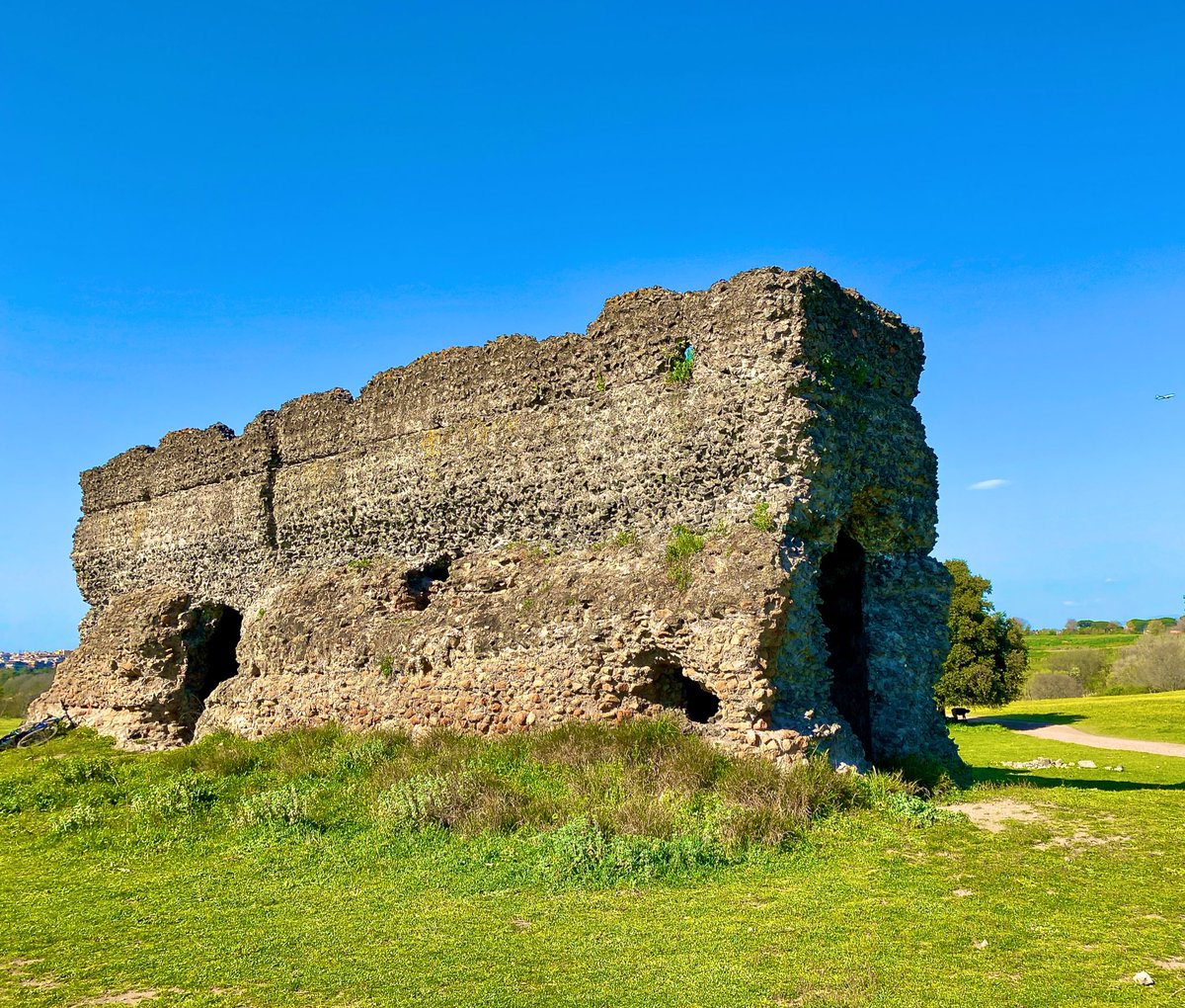
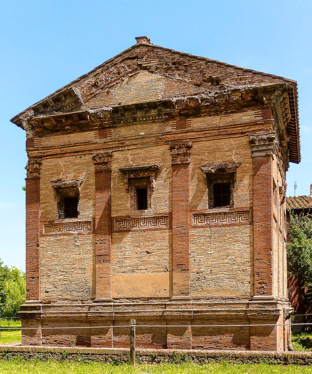
The Via Appia was home to the monumental tombs of Rome’s rich & famous, and we intersected the road at one of its most famous examples: the Tomb of Caecilians Metella.
Originally a large tower tomb with elaborate sculptural decoration, it became a fortified home in 1303!
Originally a large tower tomb with elaborate sculptural decoration, it became a fortified home in 1303!
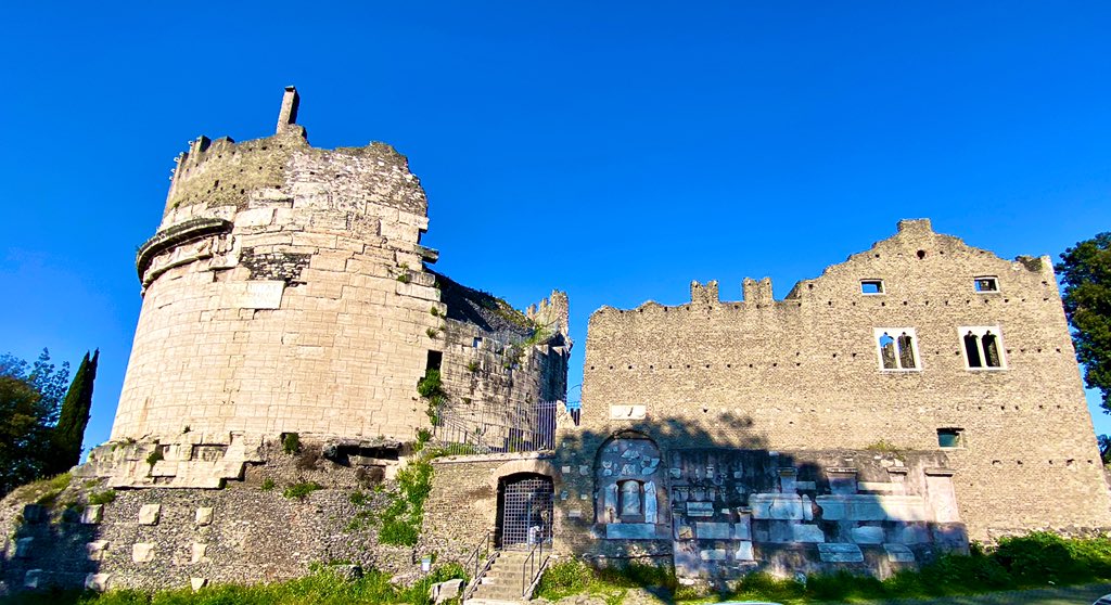
Most of the tomb’s sculpture and inscriptions was built into the later castle, and they’re still very visible from the Via Appia.
From fragmentary family members to incomplete inscriptions, there’s enough ancient art here to please anyone who might pass by the tomb today!


From fragmentary family members to incomplete inscriptions, there’s enough ancient art here to please anyone who might pass by the tomb today!
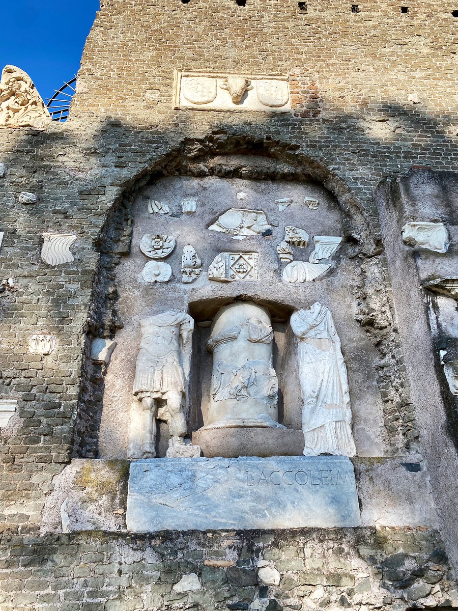
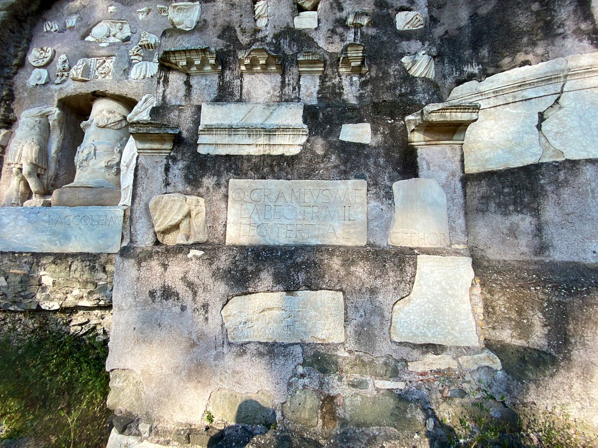
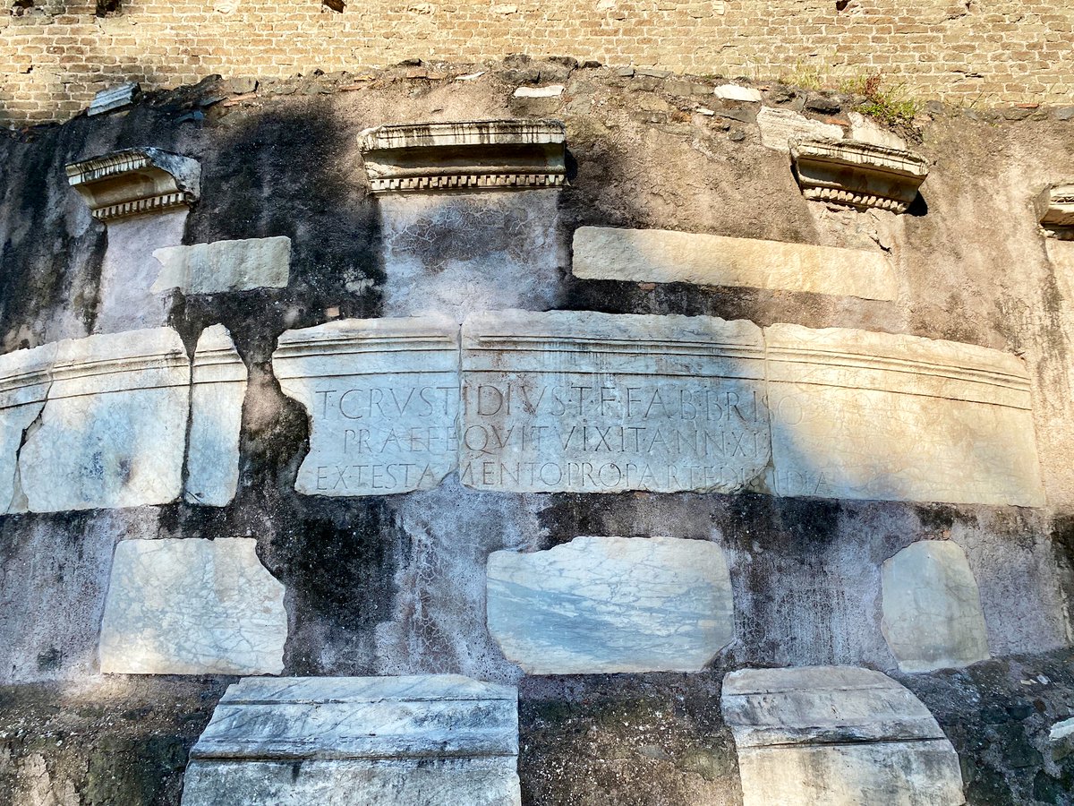
Just across the street from the tomb, we find a rare example of Gothic architecture in Rome!
Built in 1303, the Cistercian Church of San Nicola once served the fortified village of the Caetani family, who owned this part of the Via Appia.
Built in 1303, the Cistercian Church of San Nicola once served the fortified village of the Caetani family, who owned this part of the Via Appia.
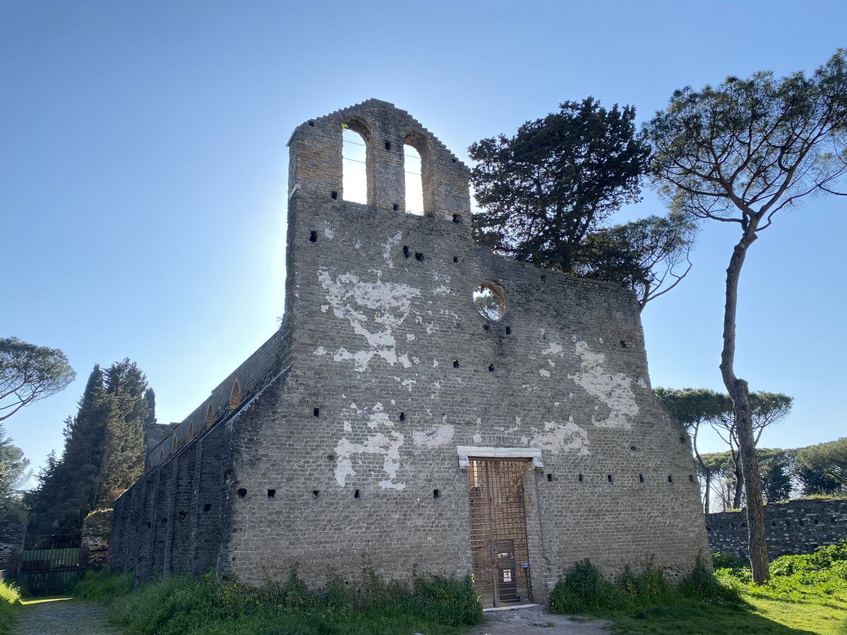
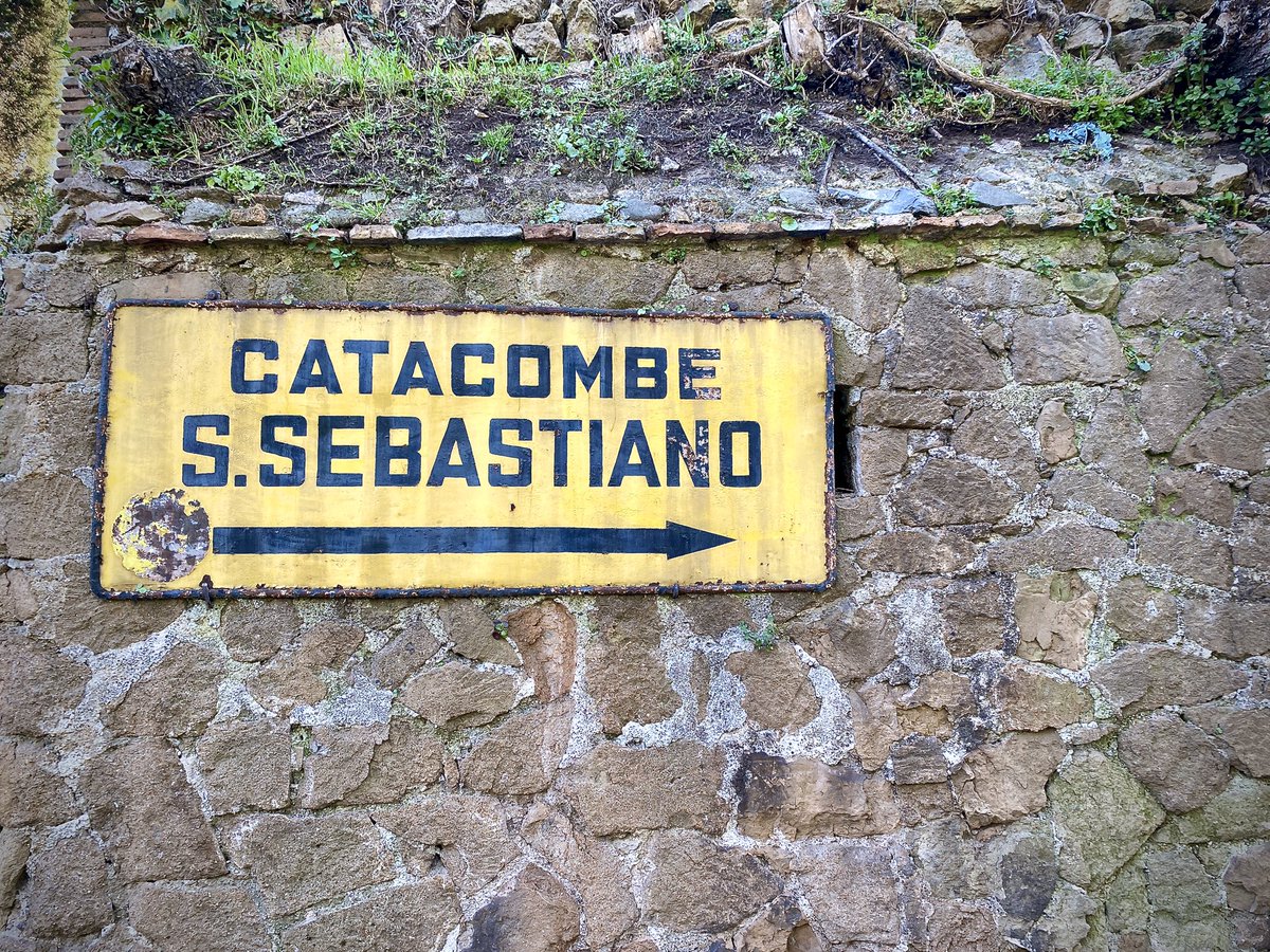
Speaking of great churches, just down the road stands the spectacular San Sebastiano fuori le mura (St. S outside the walls), one of Rome’s premier pilgrimage destinations.
Originally built in the 4th century, the current building dates mainly to a 17th century restoration.

Originally built in the 4th century, the current building dates mainly to a 17th century restoration.
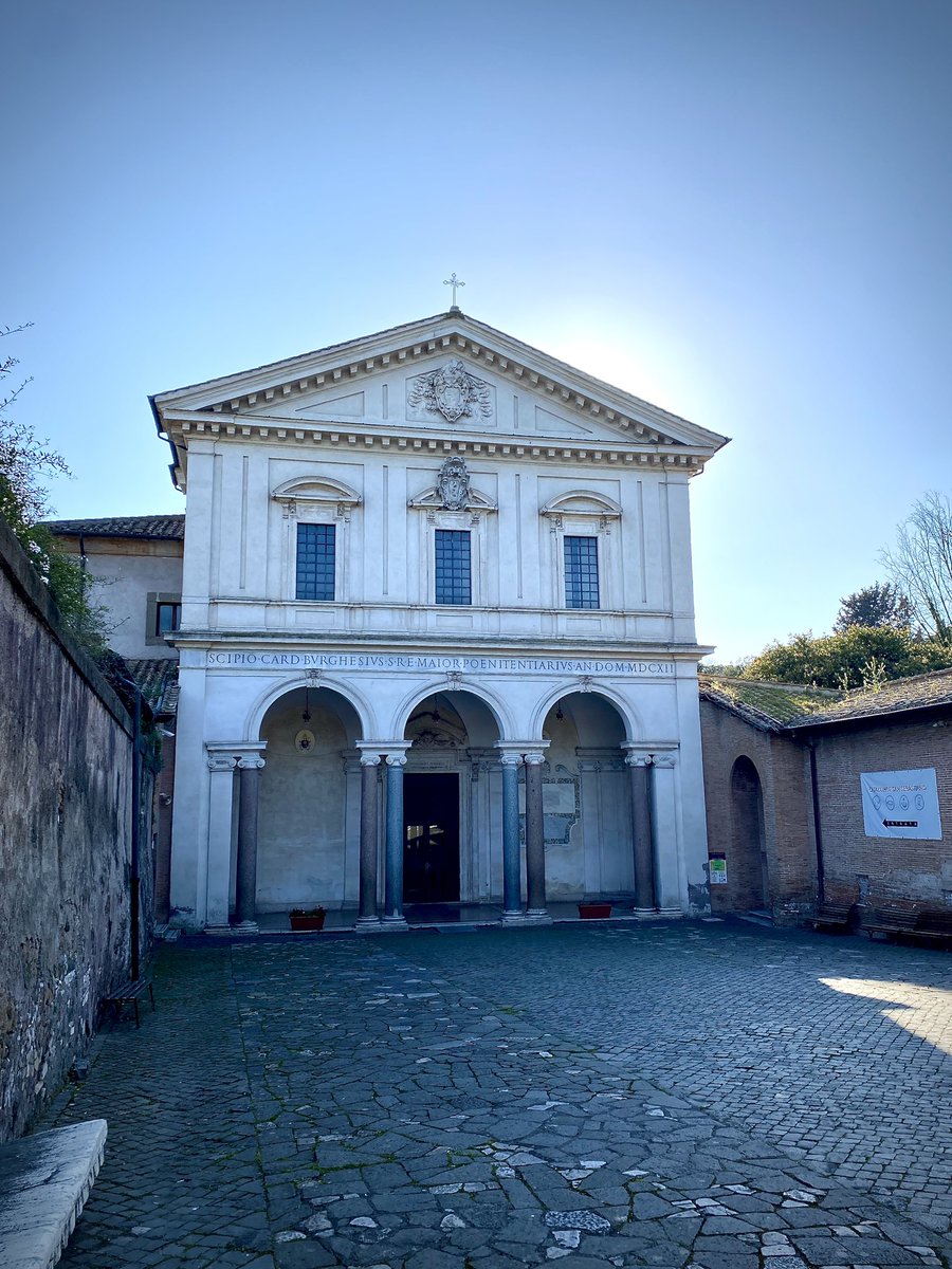
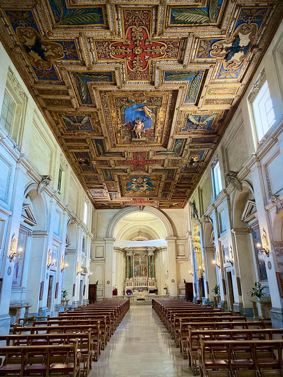
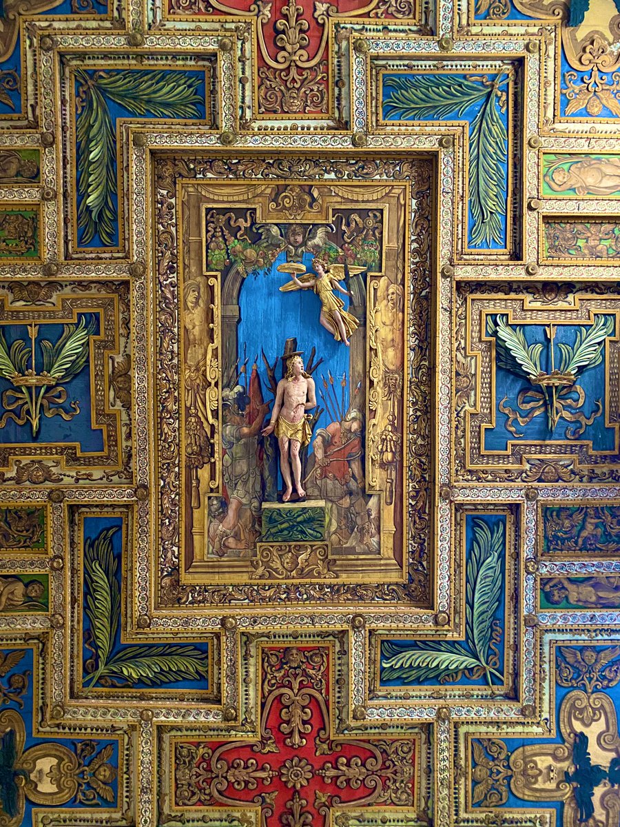
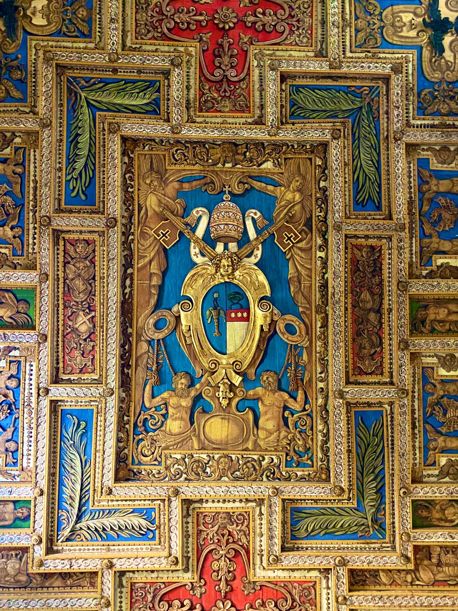
If its exterior is impressive, interior of San Sebastiano is breathtaking. The ornately decorated ceiling looms high above, featuring both a full sculptural scene of St. Sebastian and the coat of arms of the Borghese family, who funded its renovation in 1615. 


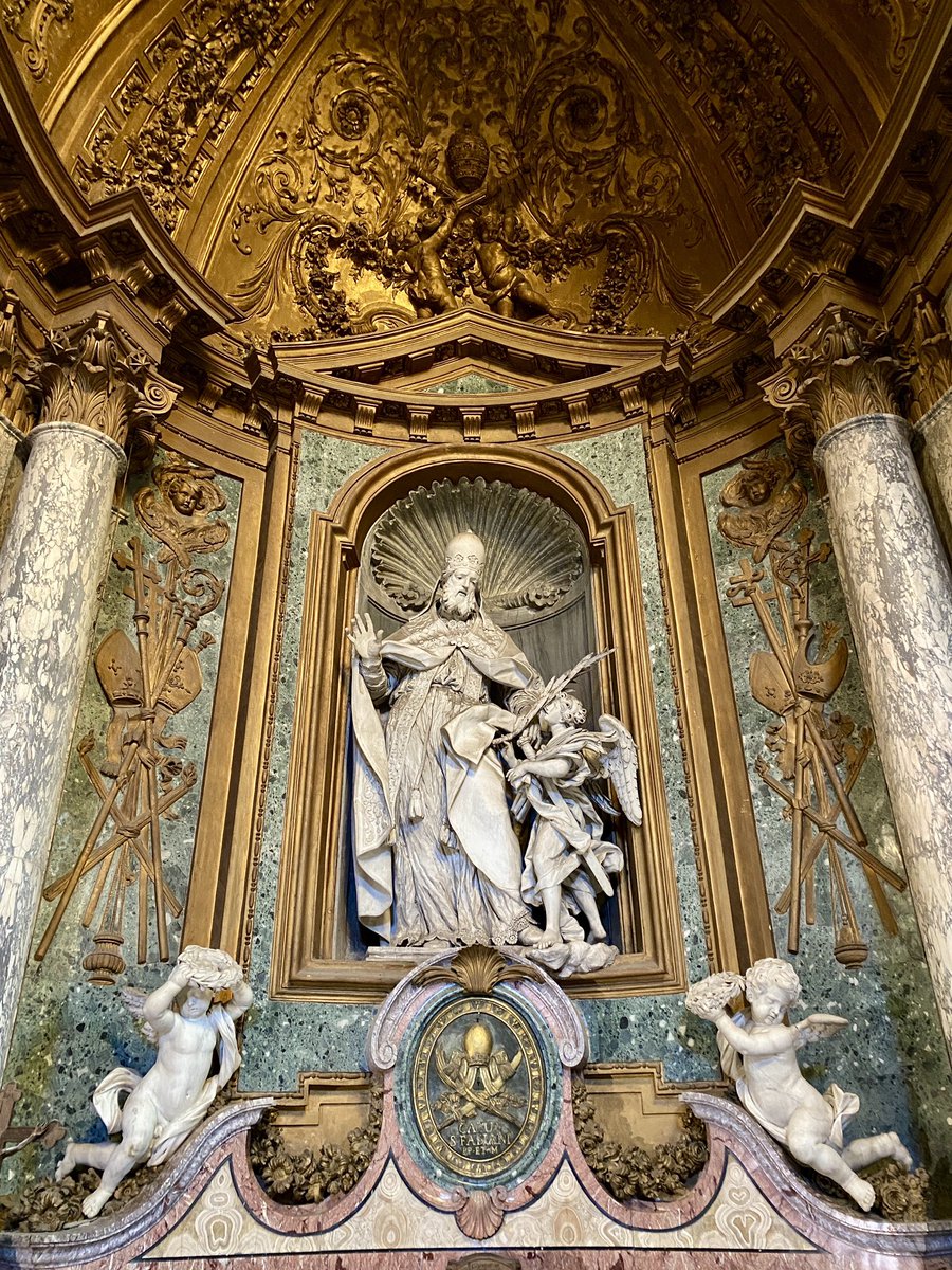
In 1715, Pope Clement XI commissioned the Albani Chapel in honor of Pope Fabian. Designed by a who’s who of 18th century Italian artists, this small chamber packs a very big punch! 

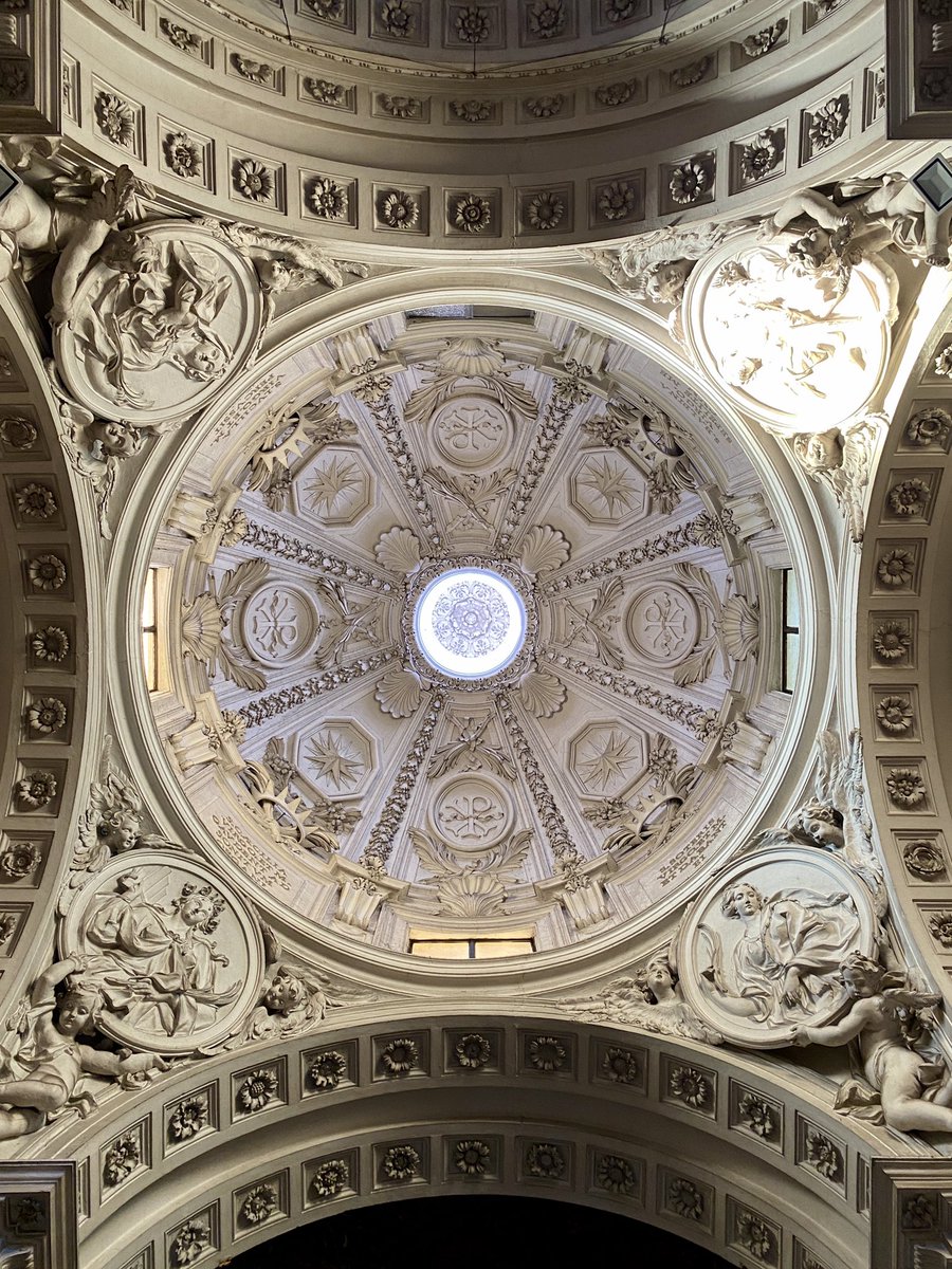
The most spectacular masterpiece in San Sebastiano is actually a recent arrival!
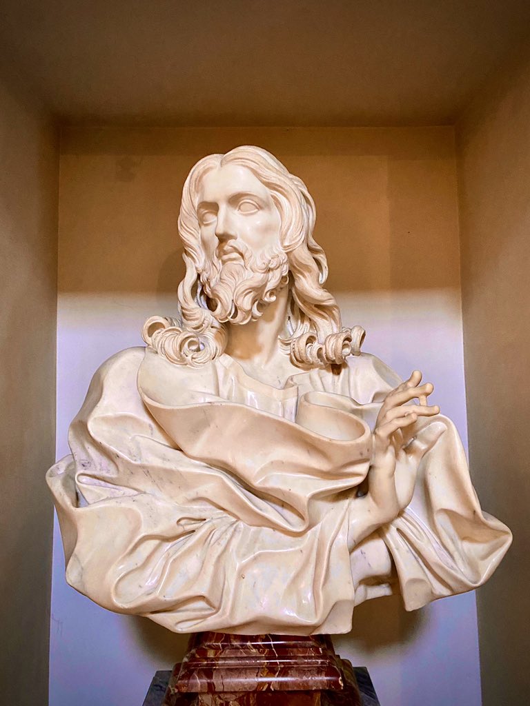
In 2001, this bust of Christ as Salvador Mundi was found in a convent next to the church. Thought to be by a sculptor from Palermo, it’s now considered the last work by Bernini...when he was 82!
In 2001, this bust of Christ as Salvador Mundi was found in a convent next to the church. Thought to be by a sculptor from Palermo, it’s now considered the last work by Bernini...when he was 82!
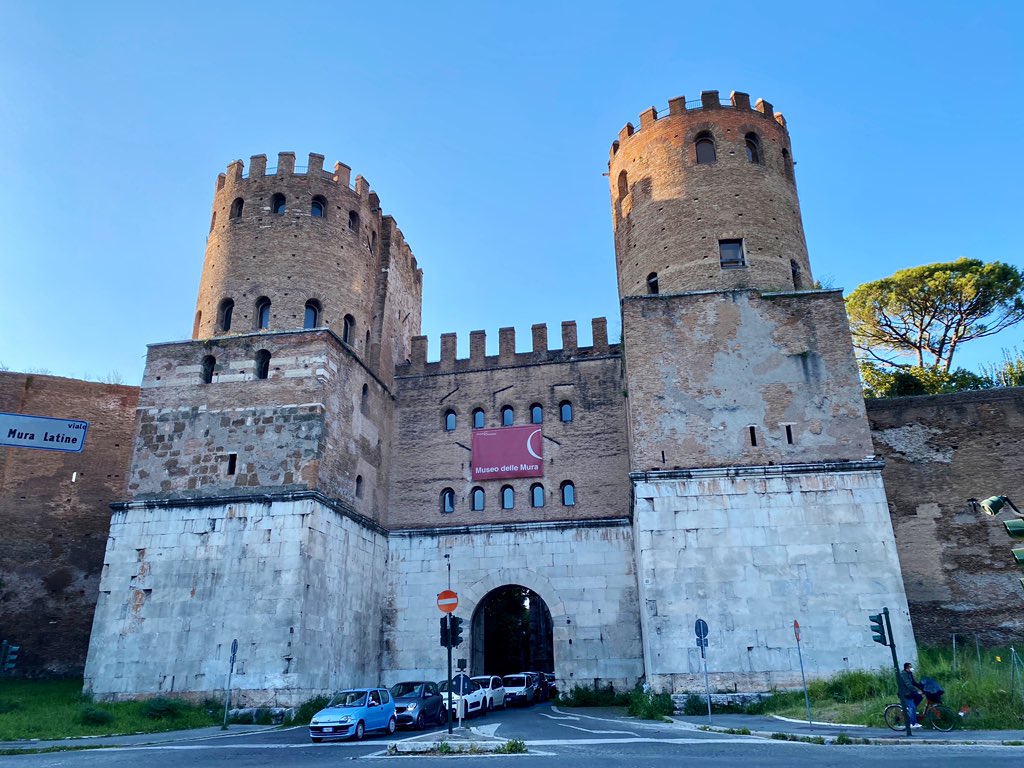
Our journey ends at the Porta San Sebastiano, the largest gate in the Aurelian Walls. Built ca. 275, it’s covered in graffiti by medieval travelers waiting to enter the eternal city!
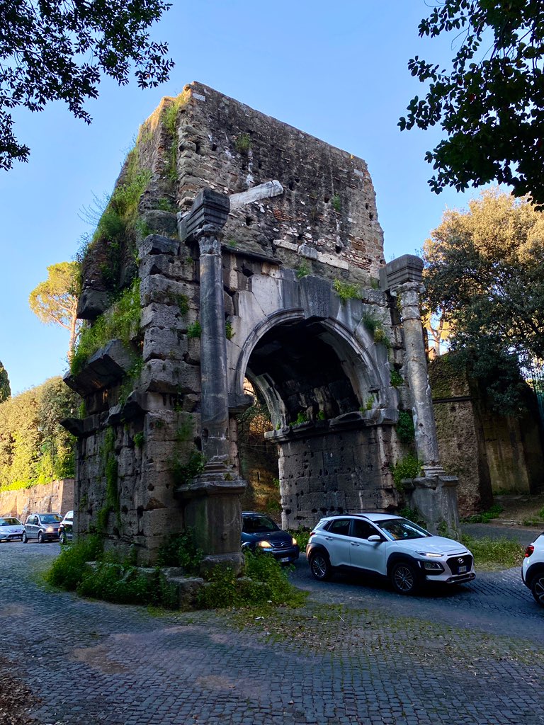
Just inside is the Arch of Drusus with plenty of rush hour traffic headed toward the Via Appia!

Just inside is the Arch of Drusus with plenty of rush hour traffic headed toward the Via Appia!
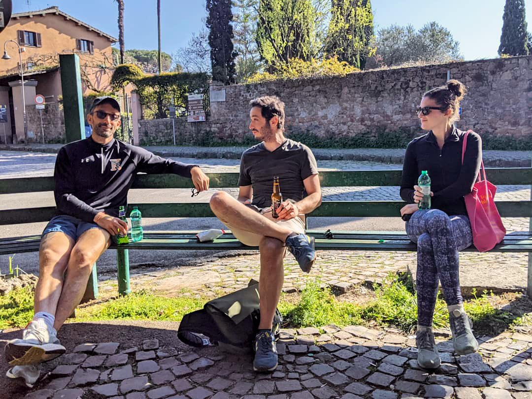
Thanks for joining me, @LevintheMed, @mdlett, & the Twitter-less Rachel Patt on our winding walk through Rome’s spectacular southeast!
There’s so much more to see, and it’s already time to start planning a hike for our next window in this long Roman lockdown!
🇮🇹🏛🚶♂️🚶♀️🚶♂️🚶♀️


There’s so much more to see, and it’s already time to start planning a hike for our next window in this long Roman lockdown!
🇮🇹🏛🚶♂️🚶♀️🚶♂️🚶♀️
• • •
Missing some Tweet in this thread? You can try to
force a refresh


