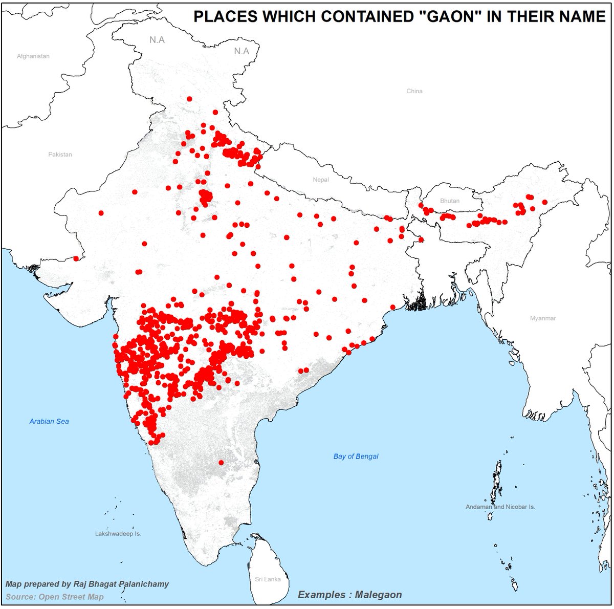
The new Geospatial Data guidelines are revolutionary but it can do more!
My comments as published in @TheWireScience:
science.thewire.in/the-sciences/t…
Thanks: @1amnerd
FYI: @PrinSciAdvGoI @drharshvardhan @IndiaDST
Read thread for highlights!
My comments as published in @TheWireScience:
science.thewire.in/the-sciences/t…
Thanks: @1amnerd
FYI: @PrinSciAdvGoI @drharshvardhan @IndiaDST
Read thread for highlights!
A Logical move! I personally learned many defense areas because they appeared black in satellite images 🤣 

The biggest draw back with the policy is that it doesnt talk about opening up of data and instead talks about fair pricing. "Fair" pricing is very subjective and it might not be acheivable in public funds as it doesnt follow market rules of demand and supply for efficient pricing 

Many public datasets are sold in three tier format!
i.e
1. Tax payer's money used to create dataset
2. Tax payer is expected to buy the same which was funded with tax money already
3. Tax payer has to pay GST for this data for which the tax payer had paid twice already!
i.e
1. Tax payer's money used to create dataset
2. Tax payer is expected to buy the same which was funded with tax money already
3. Tax payer has to pay GST for this data for which the tax payer had paid twice already!

Without good quality attribute data, location data can be useless. The guidelines should have touched on regulation to enforce a minimum set of attributes for different datasets. There's no point in sharing location of schools without providing other info like no of teachers ...
Beyond the guidelines, we should not be focussing on the wars between Google and other companies. all of these are for- profit private players; Nothing more! We should figure out what is good for our people rather than getting involved in these squabbles
India should move towards opening up publicly funded data. Every day we delay in this is going to affect our progress.
Open Data has been doing wonders across the world. There are even researches talking about the effect of opening data
Open Data has been doing wonders across the world. There are even researches talking about the effect of opening data
Also we need to focus on community mapping initiatives. Guidelines talk about crowd sourcing but it is not same as community mapping. We need to empower and fund communities to map their world!
For now guidelines have answered many problems that are plaguing the industry. But we should not limit this to the benefits that would be enjoyed by private players. We should do more that would help our society to progress!
Open the data and see the magic it would do...
Open the data and see the magic it would do...
There are few other topics that I haven't touched :) May be I will do a follow up article.
For now - if you have come this far then you should be rewarded with something. Here's a half baked visualization of Mumbai's terrain 😀
For now - if you have come this far then you should be rewarded with something. Here's a half baked visualization of Mumbai's terrain 😀

• • •
Missing some Tweet in this thread? You can try to
force a refresh


