
Day 1 of the Firth of Forth Geowalk. St Abbs to Pettico Wick. Great start to the walk with some blue sky! Thanks to everyone who came along. #YCW2020 
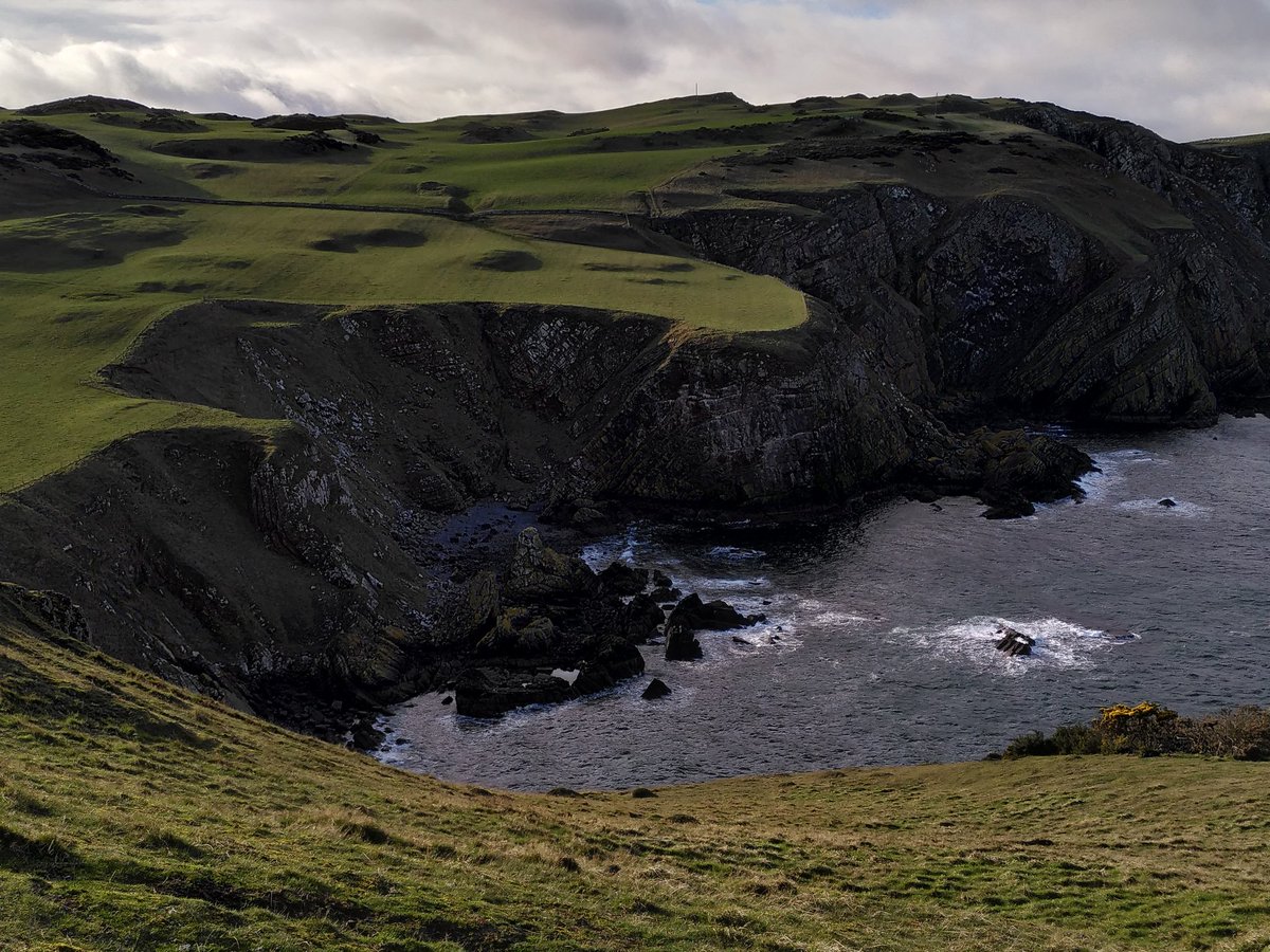
Day 2: Pettico Wick to Dowlaw. Lots of ups and downs in the unforecast sunshine! This is a wonderful cliffy coastline of Silurian greywacke.


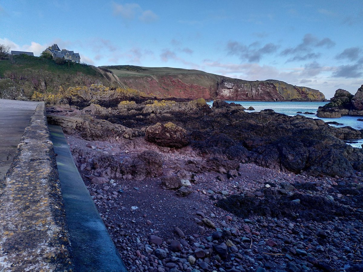
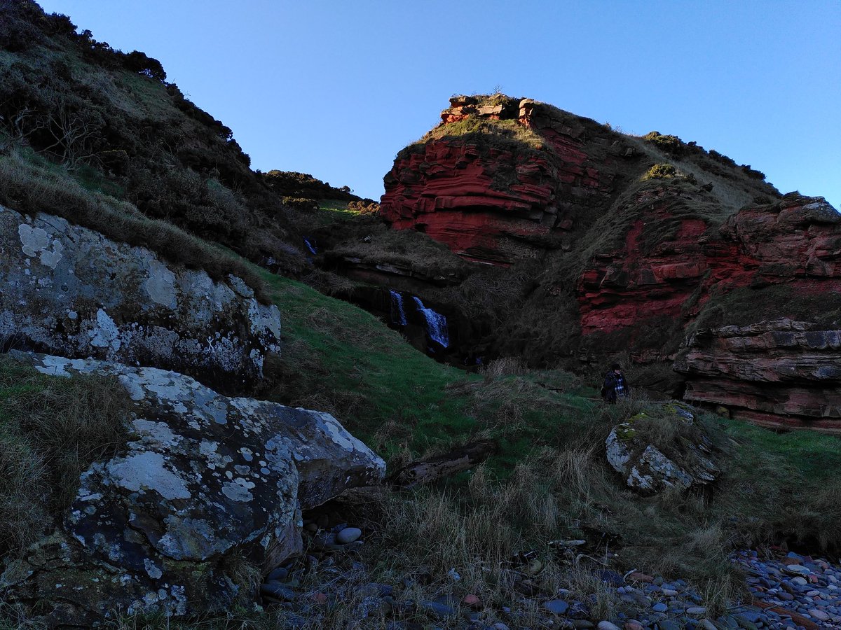
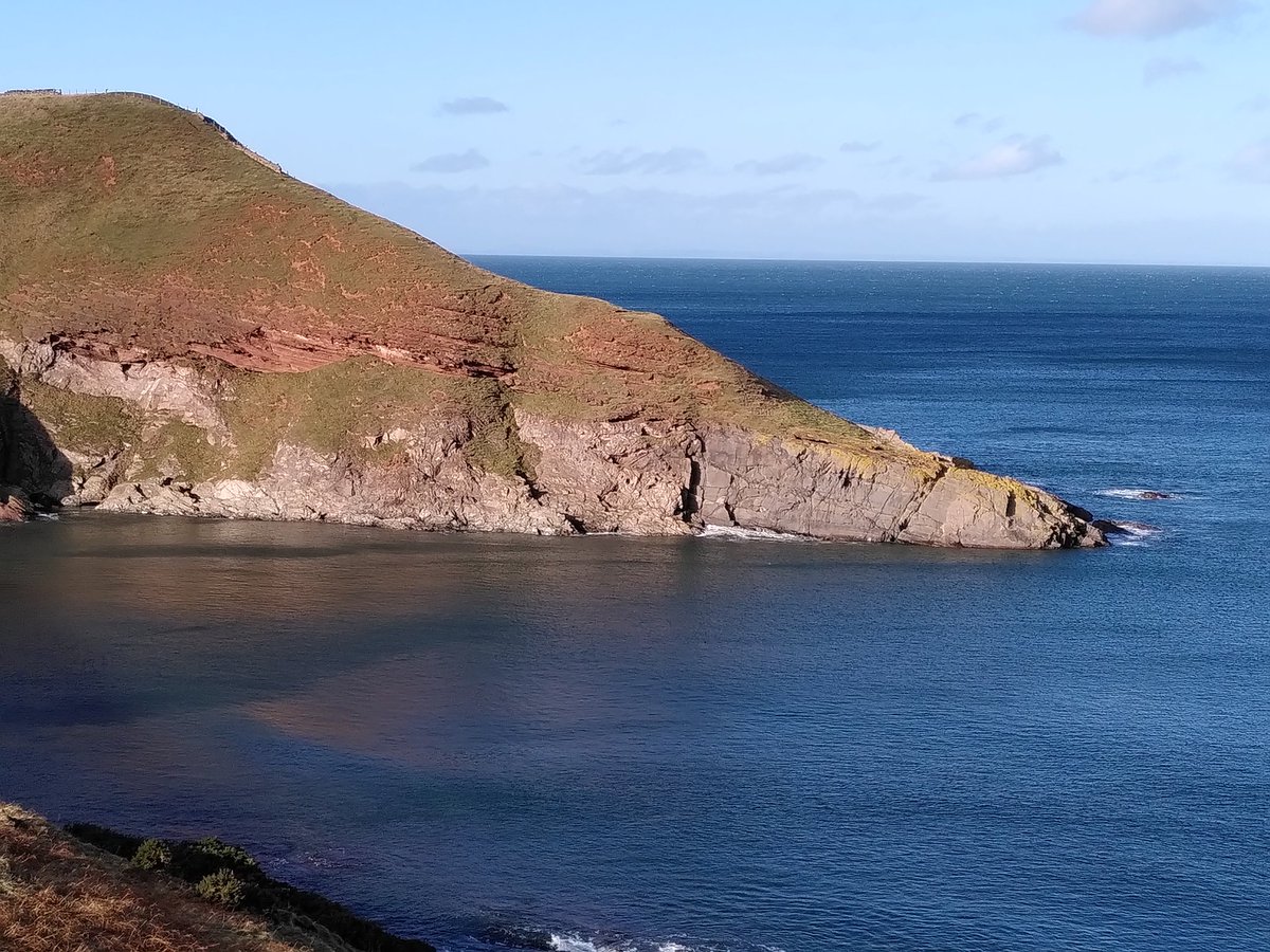
Day 3: Dowlaw to Cove. Another cracking day on the coast, zipping through 100 million years to end up in the Carboniferous. And of course we saw Siccar Point #YCW2020
Day 4: Cove to Dunbar. 16 km against the wind! Happy but exhausted team completed another great walk. Not entirely dryly, but there was plenty sunshine too.

Day 4: Dunbar to the River Tyne. A truncated walk due to the weather, but we've definitely reached the volcanic and sedimentary jumble that largely defines the character of the Firth of Forth #YCW2020
Oops losing track already. Actually Day 5!
Day 6: River Tyne to North Berwick. Plenty of volcanic delights on this stretch of coast, and a definite sense of turning a corner. Still head on to the wind, though!


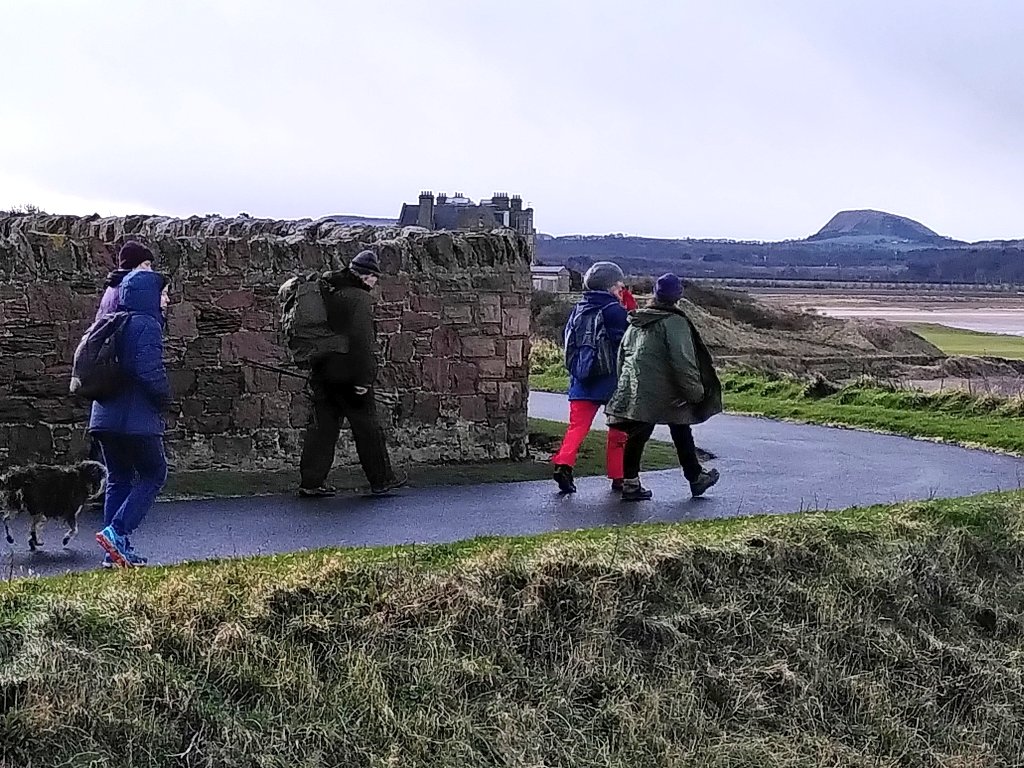
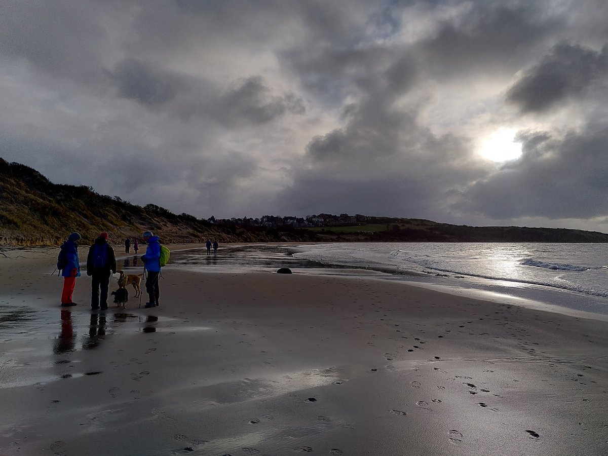
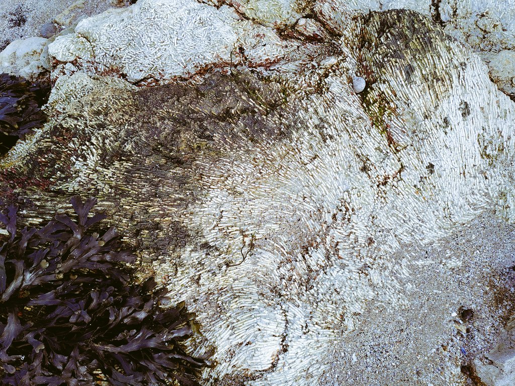
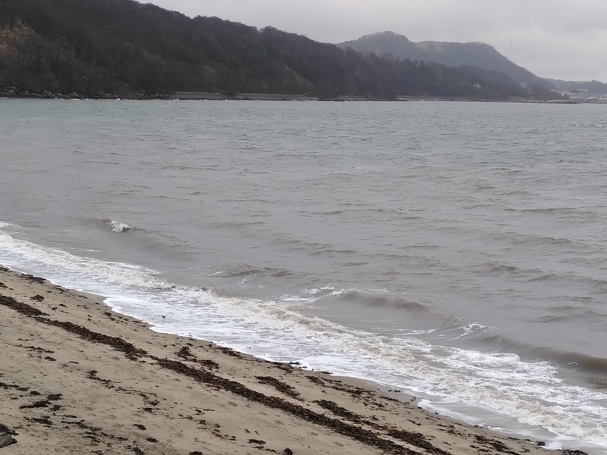
Day 7: North Berwick to Gullane. Grand walk with a following wind. Amazing volcanic rocks near Yellow Craig: who wouldn't get excited about metasomatised lava spatter and volcanic bombs, eh? Finished with some lovely winter light on the incoming tide #YCW2020
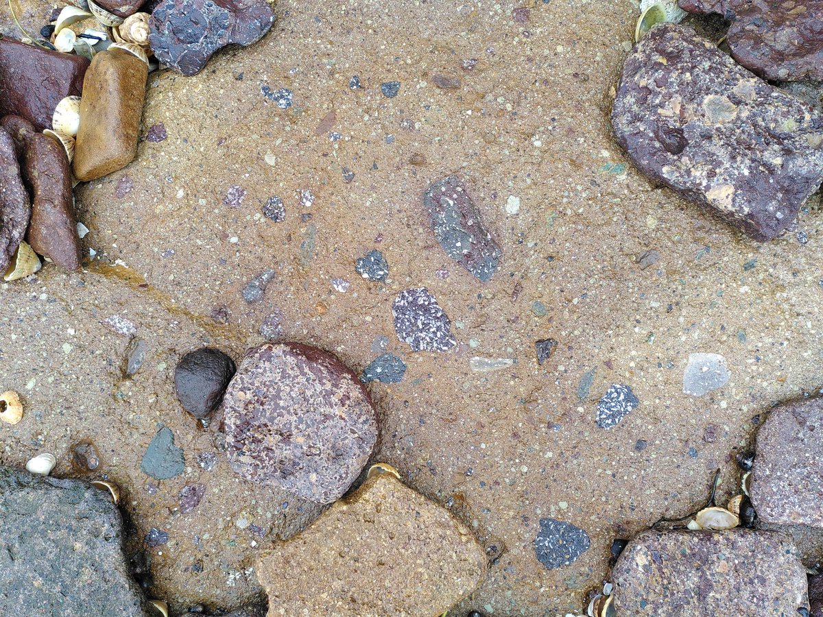
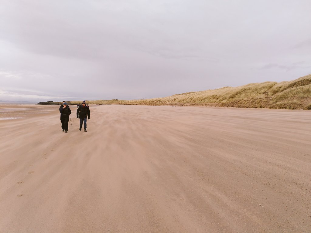
Day 8: Gullane to Port Seton. Leaving the volcanoes behind, we've zipped up through hundreds of metres of Carboniferous strata (with lovely fossil-rich limestone layers), coming to the edge of the coalfield. Plenty sand too! #YCW2020
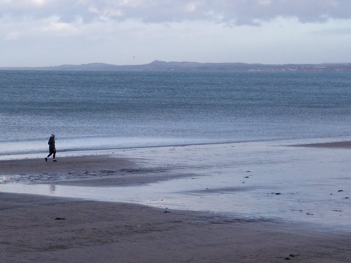
Day 9: Seton Sands to Leith. Longest walk completed with the help of Portobello prom refreshments, taking us to the symbolic halfway point - the end of my street! We walked right across the Midlothian Coalfield syncline, shown by change in dip direction of sedimentary strata.
Day 10 of 20: Leith to Cramond. Warmed by stories of muddy equatorial lakes and the fish that got away. But rather wet too!

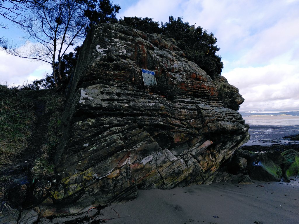
Day 11: Cramond to Queensferry. Sun-kissed at last, a lovely stroll along a quiet section of coast with low sandstone cliffs and craggy dolerite headlands. Definite sense of the Firth narrowing. Good place to build a bridge or three. #YCW2020
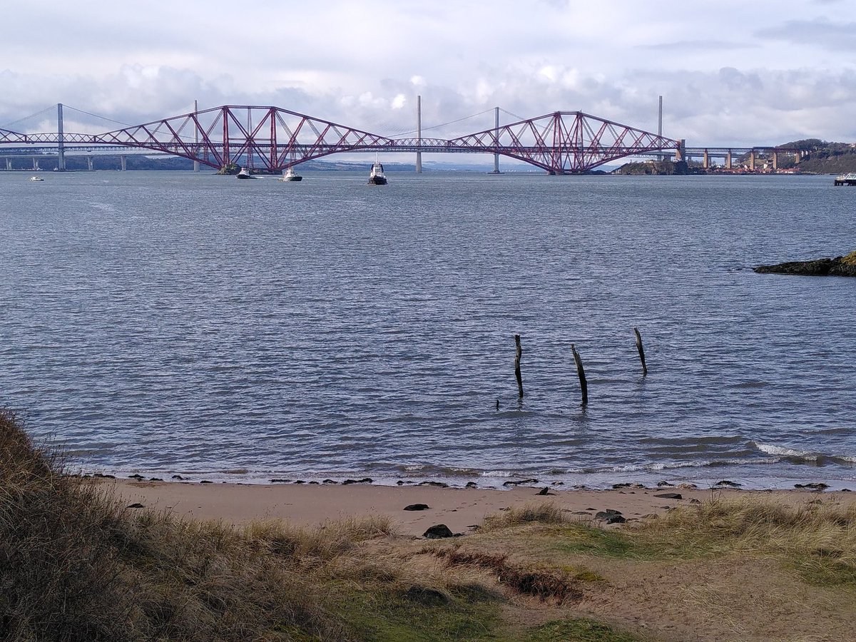
Day 12: Queensferry to Dalgety Bay. Crossed the Firth and turned east. Beautiful sunny day, and an extremely varied walk past dolerite sills and sandstone layers, and much evidence of the intricate, changing relationship of people to the Firth, past and present.

Day 13: Dalgety Bay to Kinghorn. This #yearofcoastsandwaters malarky seems to involve a lot of water. That is all.
Day 14: Kinghorn to East Wemyss. A volcanic start and then layer upon layer of Carboniferous sedimentary rocks, through the main coal seams and lovely Passage Group sandstone. In sunshine with a following wind. Nice!

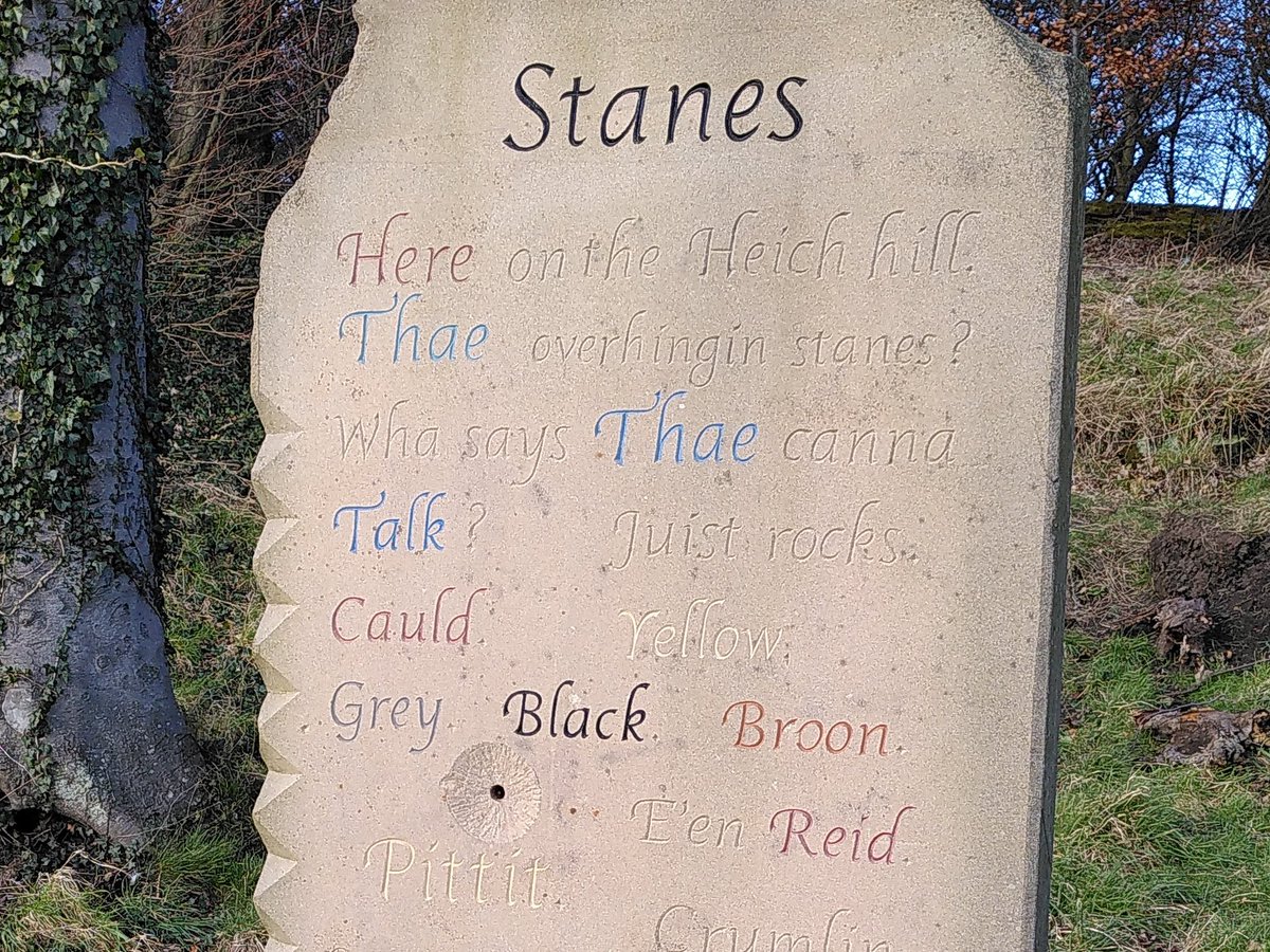
And #geopoetry too, in Ravenscraig Park, Kirkcaldy. Stanes "Wha says Tha canna Talk?" Duncan Munro Glen
Day 15: East Wemyss to Lower Largo. Climbed stratigraphically to the top of the Fife coalfield, with lots of interesting rocks beneath our feet. We can see the volcanic rocks of East Fife ahead, the final 5 days that will take us to St Andrews. A few days off first!

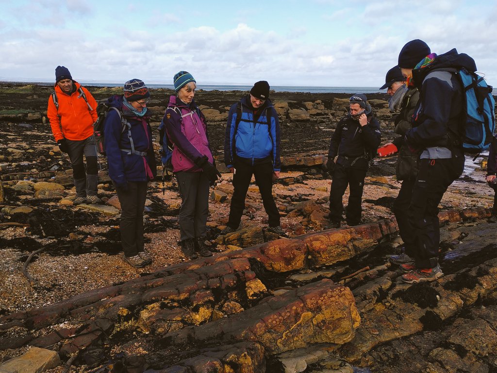
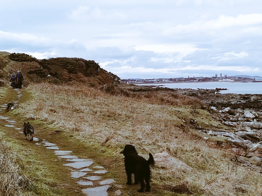
Day 16: a definite sense that this adventure is approaching its final stages as we leave the coalfield behind and return to a geologic story dominated by volcanic headlands, sandstone and golf. Accompanied by 25 people and three dogs. Would they follow me to the end of the Firth?

Days 17 & 18: Elie to Fife Ness. World events cast a shadow, but the journey continues, to the end of the Firth: beautiful volcanic necks, cosy harbours, plenty sandstone and evidence of recent coastal erosion.


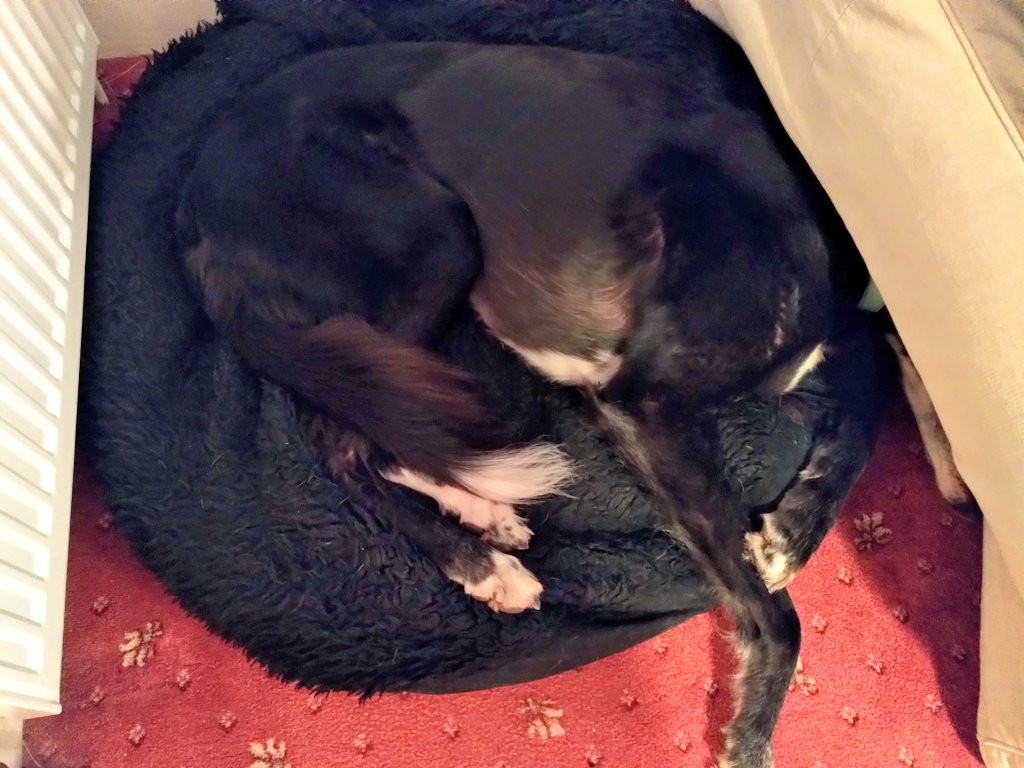
In other news, the big #geodog is rather tired of walking, and has chosen to self isolate.
Day 19: Fife Ness to Boarhills. This journey feels bracketed by catastrophe, giving extra resonance to carefree hours of coastal walking. Reflecting on the inevitability of change, illustrated here by spectacular, varied sedimentary rocks and their uncovering by recent erosion.
Day 20: Boarhills to St Andrews. Sunny end to the journey with spring and skylarks in the air. Interesting sedimentary and igneous rocks on the raised beach, but this journey has really been about people! Thanks to all for the company, especially Penny and the #geodogs
@threadreaderapp unroll


