May had been asking me whether Isha encroached forest lands. IMO this is deviating from actual issue. Read full thread
Isha didNOT build on forest dept lands as such but it VIOLATED rules in other ways
Old Satellite image & map show that it was not forest but revenue land
Isha didNOT build on forest dept lands as such but it VIOLATED rules in other ways
Old Satellite image & map show that it was not forest but revenue land


Inorder to protect out environment, we had framed laws to secure permissions from necessary authorities. Since it was farmland and since it came under Hill Area Conservation Authority, necessary permissions were to be secured from respective offices
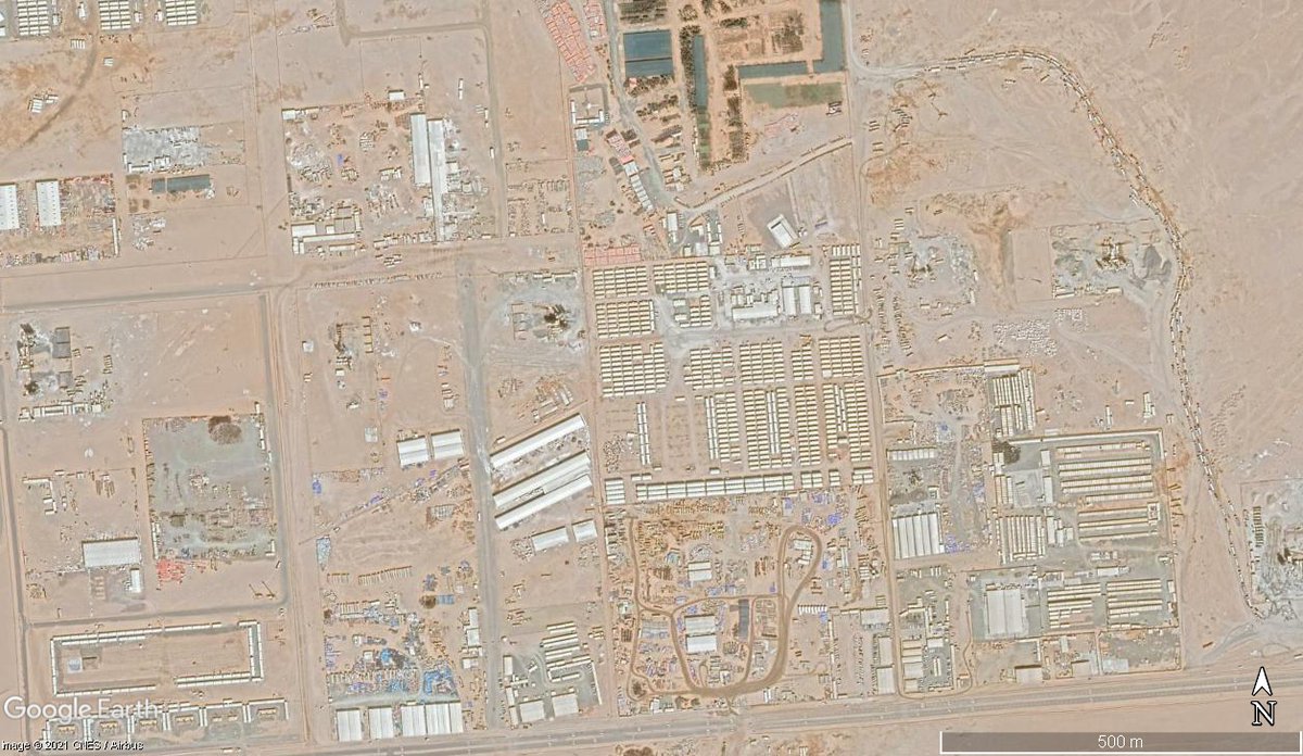
In their webpage, Isha says that they secured permission to construct statue on Sep - Nov 2016. But prior to securing permission itself they started constructing. Attached #Satellite images from Jan & Feb 2016 show that construction had already started before securing permission


Isha says: collector inspected & approved LU conversions since no farming was done in 3 years (by practice)& declared unfit
Satellite Img from previous years show farming was happening. In 2016, during construction some of land was still cultivated which was eventually converted
Satellite Img from previous years show farming was happening. In 2016, during construction some of land was still cultivated which was eventually converted


Isha says that HACA had given permissions in 2017. But the buildings were constructed well before that without permissions. Even in the images from 2006 some of the buildings can be seen.


If we dont respect our own laws then what is the point?
Concluding-"Isha encroached forest dept land" is an invented narrative to deviate from actual issue as they know there is patta for that land. But it is constructed in ecosensitve land without respecting nature,sense & laws
Concluding-"Isha encroached forest dept land" is an invented narrative to deviate from actual issue as they know there is patta for that land. But it is constructed in ecosensitve land without respecting nature,sense & laws
Addl Thought: "the 3 year - no farming so landuse can be changed" was a very sketchy practice without legal backing. Not a legal expert but never found that in TNTCP Act
Refer Elephant Rajendran's case where the court observed that there is no provision for the same
Refer Elephant Rajendran's case where the court observed that there is no provision for the same

With these being said, Read this now.
This is how they spin it. They create issue out of nothing (forest land) so that the actual issue (building without permission) is hidden.
This is how they spin it. They create issue out of nothing (forest land) so that the actual issue (building without permission) is hidden.
https://twitter.com/news7tamil/status/1370655345337503747?s=20
If anyone got confused on "wet lands" definition: These refer to agricultural wet land not the wetland ecosystem which is different. The TNTCP Act then relied on Tamil Nadu Water-Cess Act, 1963. Definition pasted here.

• • •
Missing some Tweet in this thread? You can try to
force a refresh