#Story of Lakkasandra lake in #Bengaluru
The thread shows the recent history and transformations it went through over time.
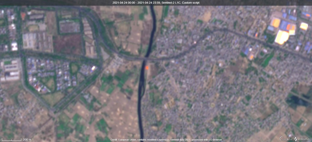
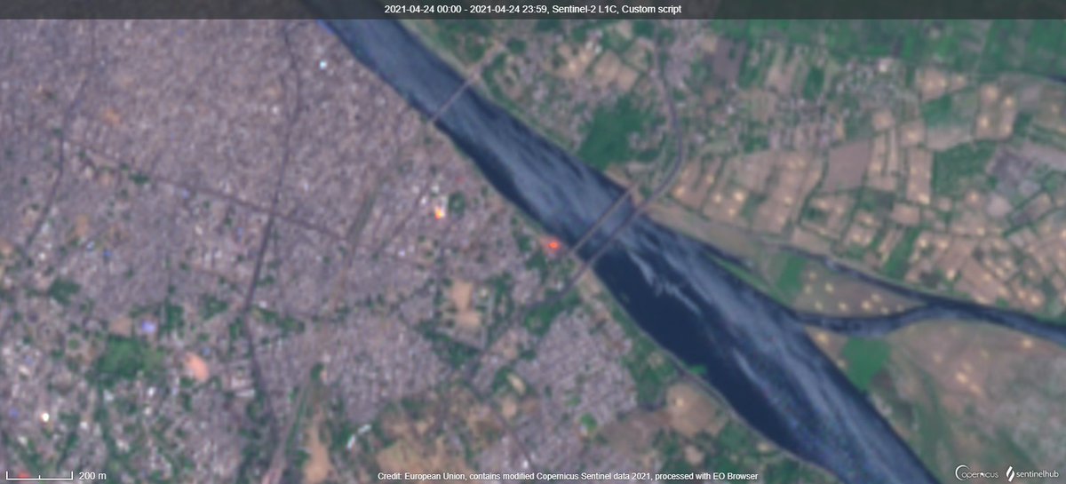
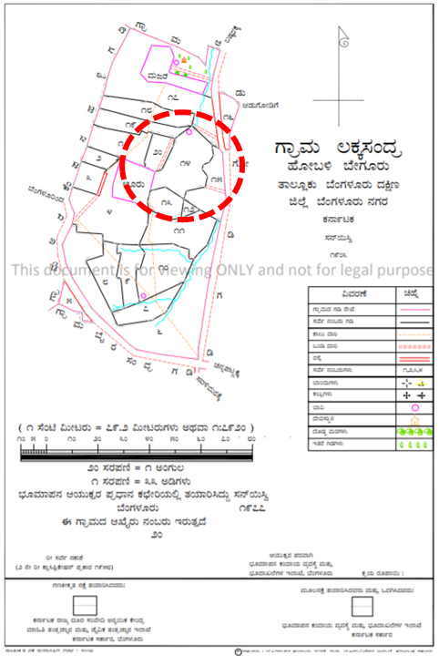
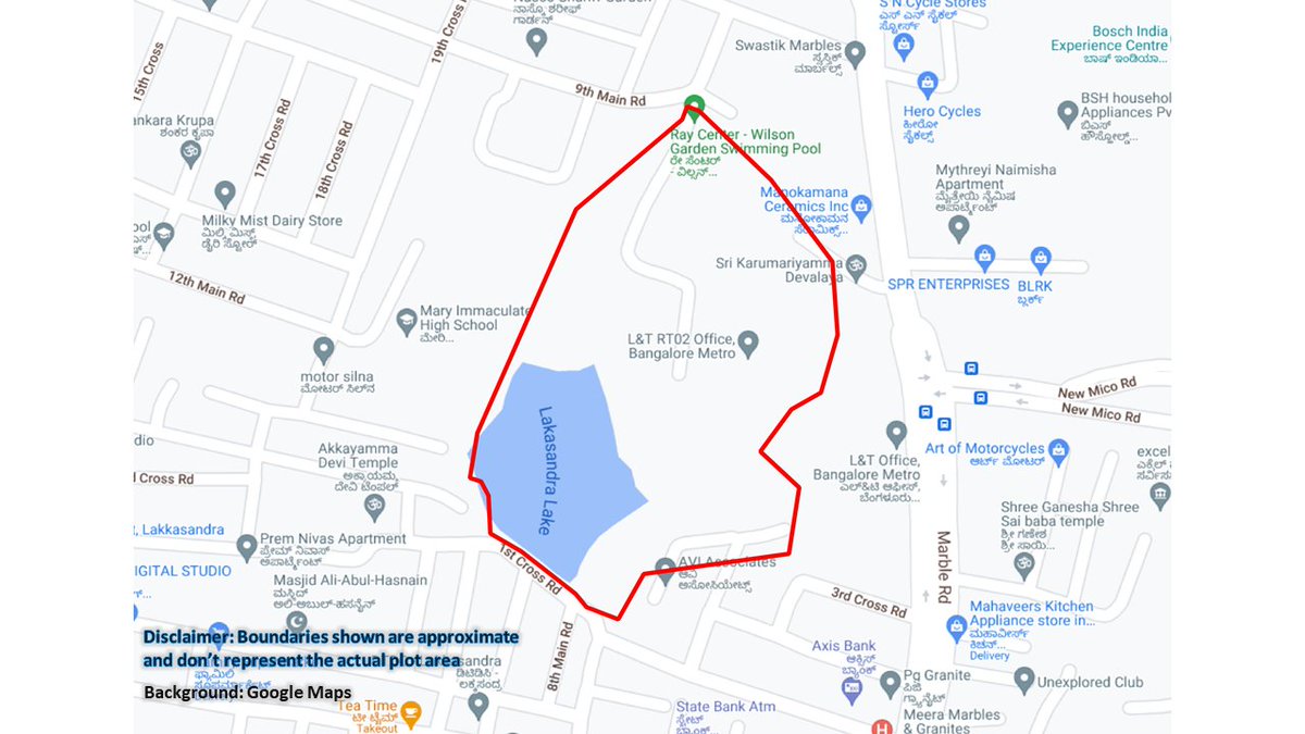
#Map shows the location of lake with an approximate boundary of the plot.
The thread shows the recent history and transformations it went through over time.
#Map shows the location of lake with an approximate boundary of the plot.

The waterbody in Lakkasandra might have lost its original applications many decades ago and hence revenue maps (given on the left) shows it as a government land but not specifically as a waterbody. Google Maps however shows the waterbody as it was detected in the early 2000s
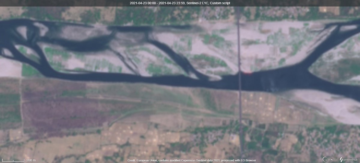
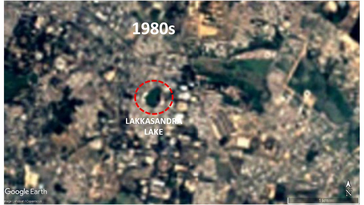
But the lake seems to have water in many satellite images from 1970s, 1980s, and 1990s. It has attributes similar to any seasonal rainfed waterbody in the region
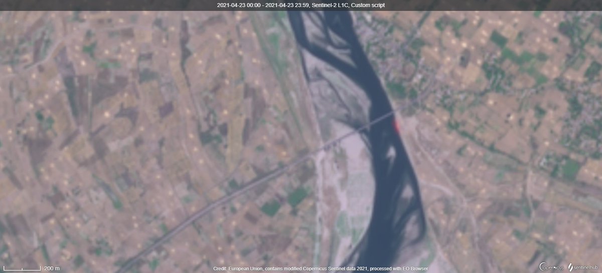
By the year 2000, the lake is in the middle of a massively expanding city

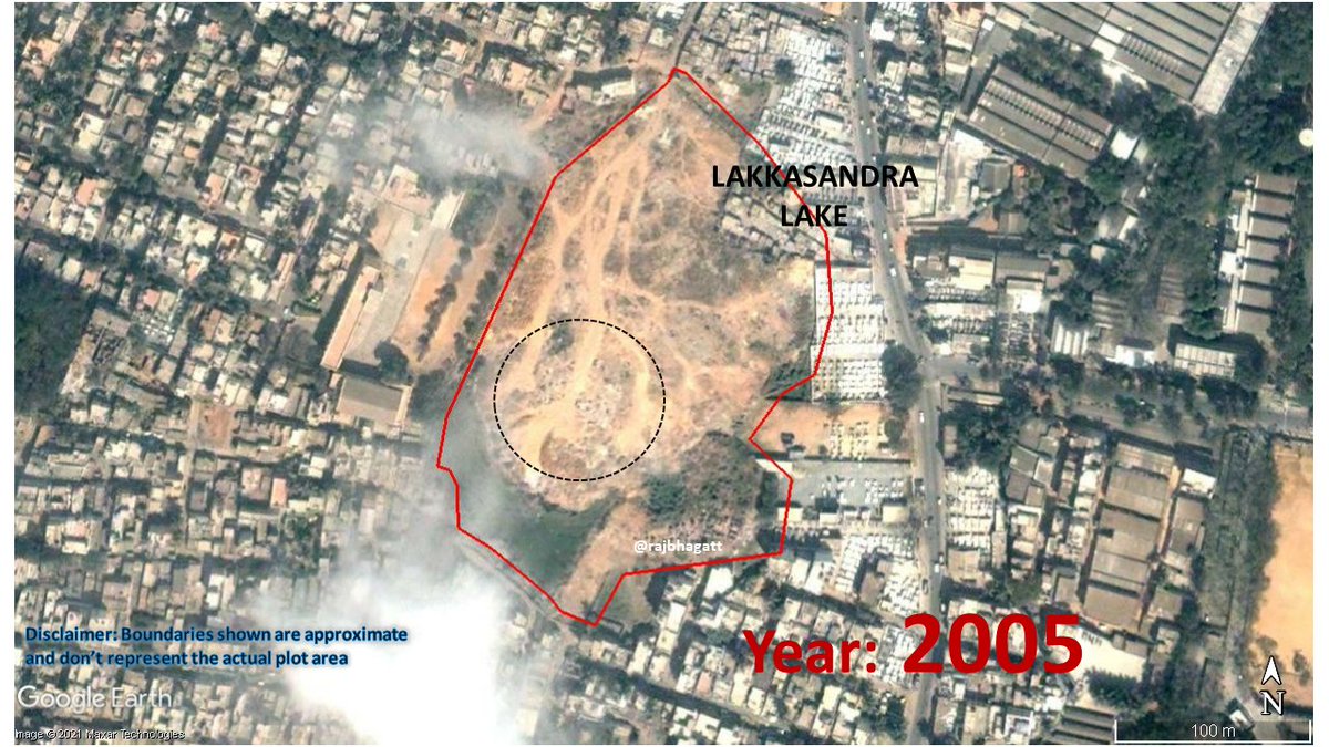
But by the year 2005, a lot of dumping had happened in the lake area. Together with the construction of a wall around the lake (and possible diversion of drains), the inflow into the waterbody had been completely stopped.
The area of the waterbody began shrinking afterwards
The area of the waterbody began shrinking afterwards
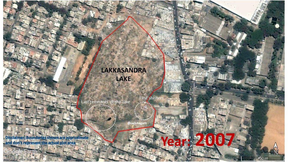
By the year 2007, the last remnants of the waterbody was in the southern section were some drains were still entering the area. But by this time, the lake is dead.
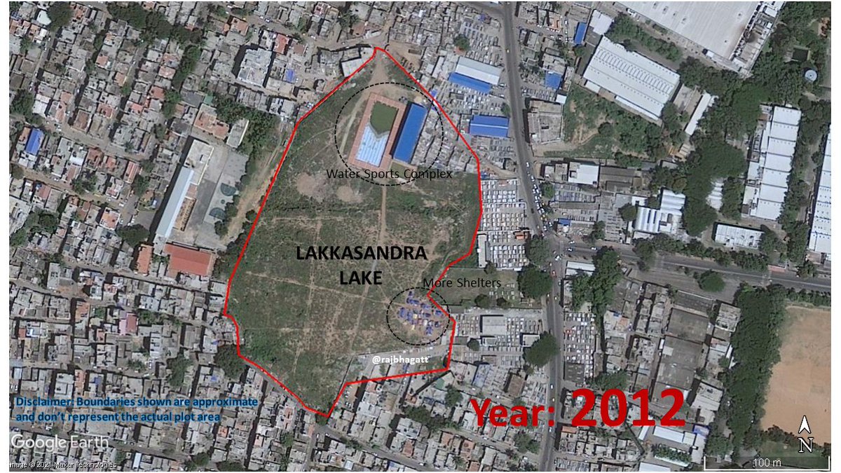
First shelters also appeared by this time.
First shelters also appeared by this time.
In the northern portion of the lake, Government constructed a water sports complex with swimming pool etc.
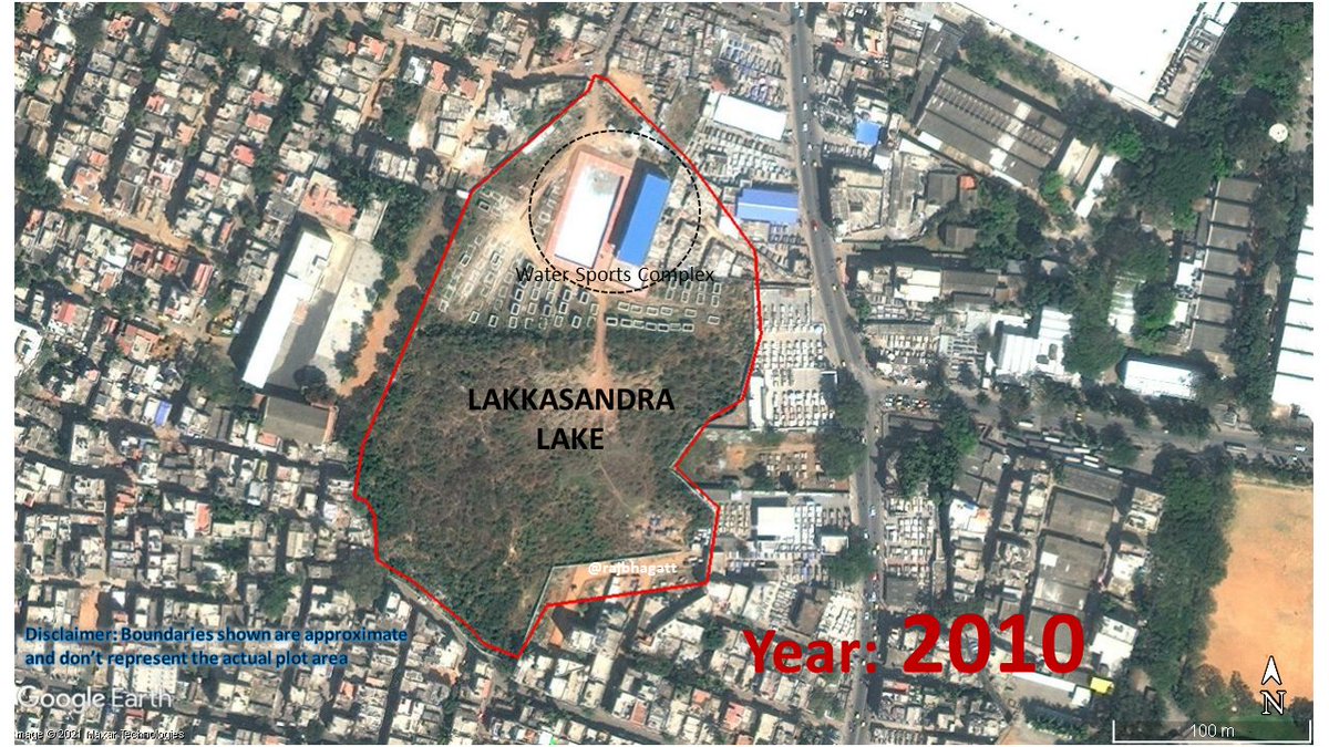
But the swimming pool or the complex was not used at all. For most of the years post its construction, the swimming pool contained stagnant rain water.
The number of temporary shelters were rising at a small pace too.
The number of temporary shelters were rising at a small pace too.
An "encroachment of lake" complaint & a criminal case was filed & recorded by Bangalore Metropolitan Task Force in 2013. It is not clear which portion of lake that was referred to in that complaint. Actions related to are not clear and satellite images dont show any change either

Meanwhile, most of the lake area had clearly transformed into a green area and the vegetation oscillated along with the seasons..
The swimming pool is still unused and contains stagnant water
The swimming pool is still unused and contains stagnant water


The revised master plans - 2015 & 2031 (2031 is now scrapped) show the land being used as either vacant or unclassified. And in both plans, the land has been proposed to be used as a green area

And in year 2018, the swimming pool and the sports complex seem to be refurbished

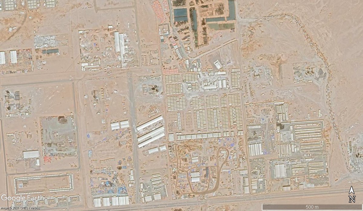
As new metro line is being constructed, BMRCL had gotten this land (as it was close to Bannerughatta road)& transferred it to L&T
All trees, shrubs, grass in the area were completely removed & currently used for project office, labour camp, & metro construction related functions
All trees, shrubs, grass in the area were completely removed & currently used for project office, labour camp, & metro construction related functions

Whether the land would be recreated as a green area post metro construction is one debate.
But on the other hand, the local population (rich or poor) dont seem to have any say in whether a public land parcel should be used as lake or park or swimming pool or metro project site
But on the other hand, the local population (rich or poor) dont seem to have any say in whether a public land parcel should be used as lake or park or swimming pool or metro project site
The power held by the unelected in decision making related to the use of a land belonging to public is not healthy.
And also If govt itself is not going to abide by the master plan document, then what is the use of that document?
And also If govt itself is not going to abide by the master plan document, then what is the use of that document?
• • •
Missing some Tweet in this thread? You can try to
force a refresh