1/ Can a levee protect one town while making flooding worse for others?
The answer is known to scientists and supported by basic physics, but we wanted to see it for ourselves. So, instead of waiting for a flood, we built a model river valley & flooded it propub.li/2M9uNKJ
The answer is known to scientists and supported by basic physics, but we wanted to see it for ourselves. So, instead of waiting for a flood, we built a model river valley & flooded it propub.li/2M9uNKJ
2/ Along with @reveal, we hired engineers at @saflumn to build a physical model of four levee scenarios to see how construction choices can put surrounding communities at greater risk of flooding. (The houses were carved by the dads of a few @ProPublica reporters.) 
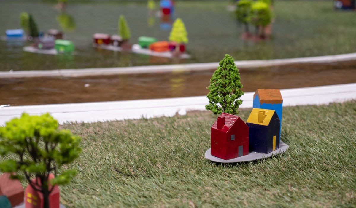
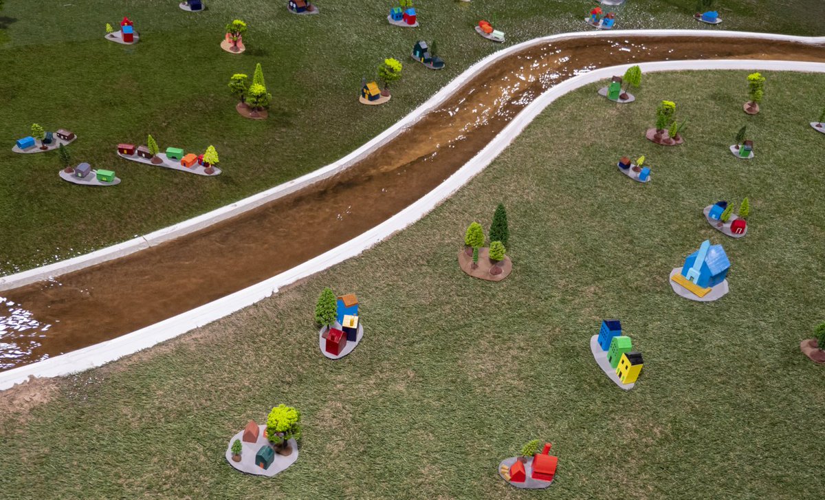
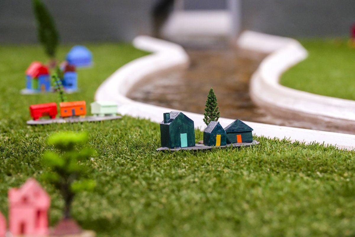
3/ So here’s what those four scenarios look like...
4/ When a free-flowing river floods, water jumps the river's banks and flows onto the floodplain...
5/ When levees are built next to the river, the banks stay dry, but water rises higher and runs faster within the channel. If the levees are the same height, both sides of the river are basically protected equally.
6/ Sometimes a levee on one side of the river is taller than the other, or people on one side have overbuilt their levees. That extra height is enough to shift some of the floodwaters to the other side of the river. This happens in the real world, too: projects.propublica.org/graphics/rocki…
7/ Though unusual in the US, setback levees are built further back, allowing part of the natural floodplain to flood. This lowers water heights while still protecting areas behind the levees.
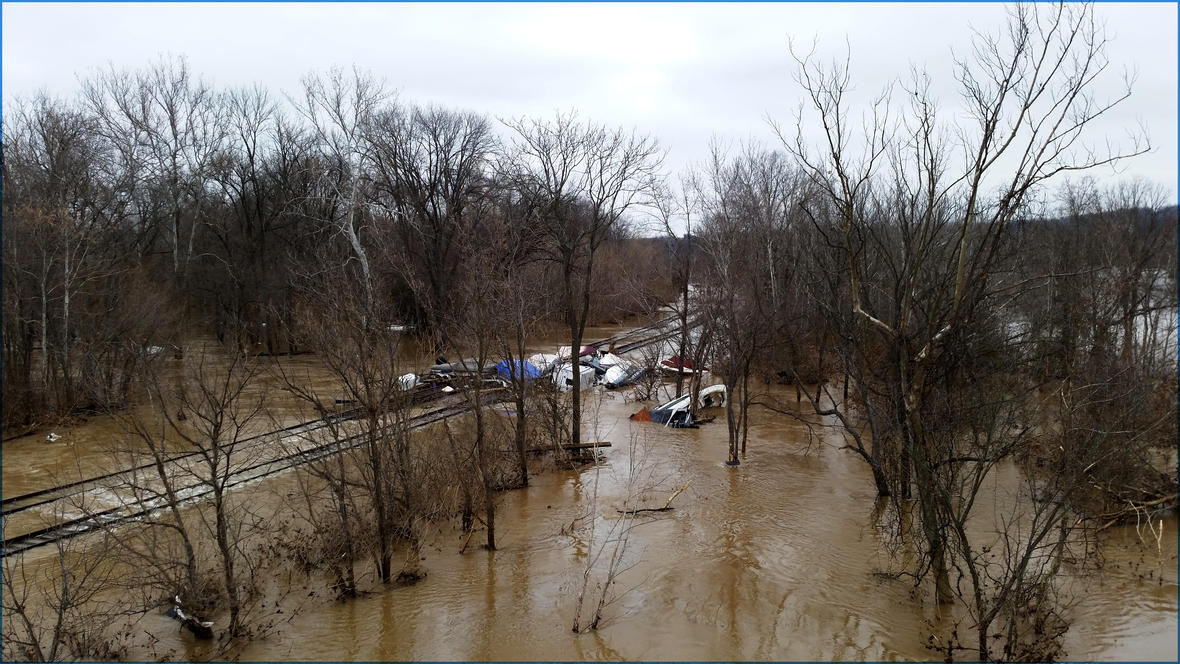
8/ But what do the effects look like in the real world?
A study of levees in 2011 examined 13 in Illinois and Iowa. These levees all increased flooding across the river or upstream—sometimes by up to five feet.
A study of levees in 2011 examined 13 in Illinois and Iowa. These levees all increased flooding across the river or upstream—sometimes by up to five feet.


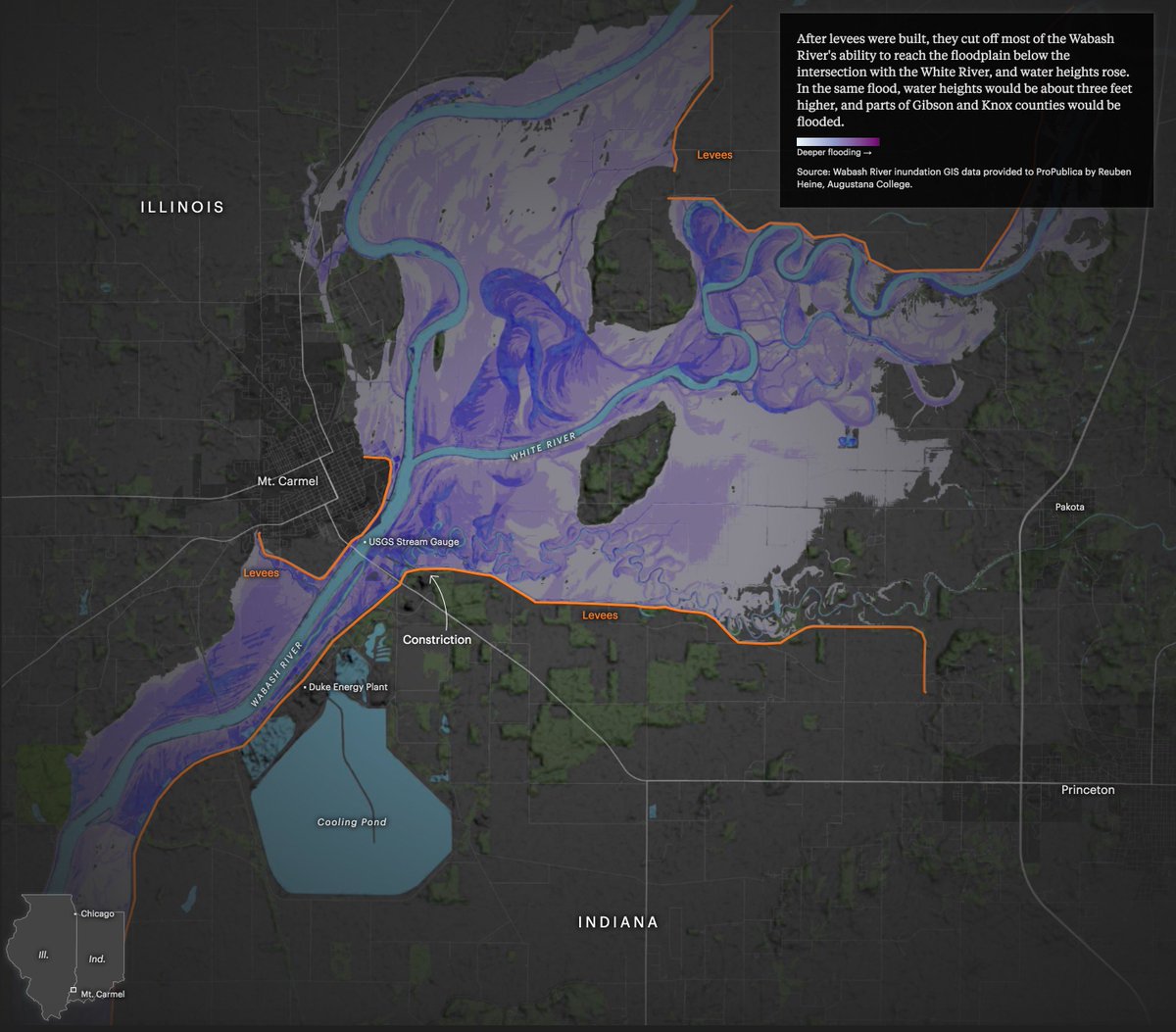
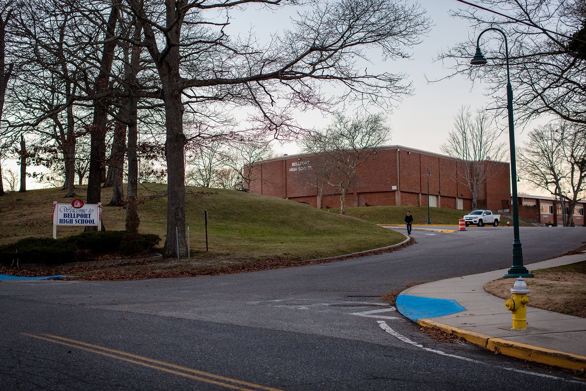
9/ Which brings us to the Meramec River near St. Louis. Though many towns along the river have been flood-prone since the '20s, the Corps only built one levee. Why? A cost-benefit analysis that was partially based on the city's ability to pitch in.
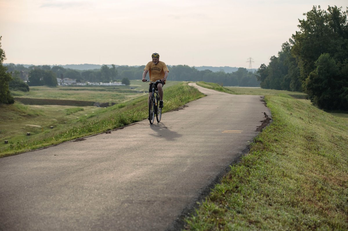
10/ The Army Corps' solution was to build a $50 million 3-mile levee around the city of Valley Park. That levee has protected Valley Park, but many think—and the USGS is currently studying—whether it has actually increased flooding for nearby towns. propub.li/2KChcqR
11/ The Corps predicted the levee would cause little extra flooding based on data from the 1990s. They never updated those calculations, even when conditions changed, including development + climate change.
propub.li/2KChcqR
propub.li/2KChcqR
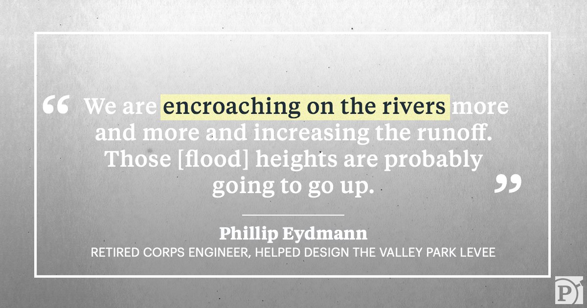
12/ John Boeckmann, an engineer for the Corps’ St. Louis District and chief of its hydrologic engineering section, said he still stands by the Corps’ 1993 calculations.

13/ Read the full story here: propub.li/2KChcqR
14/ ...and be sure to check out our new interactive that takes you through four different levee scenarios: propub.li/2M9uNKJ