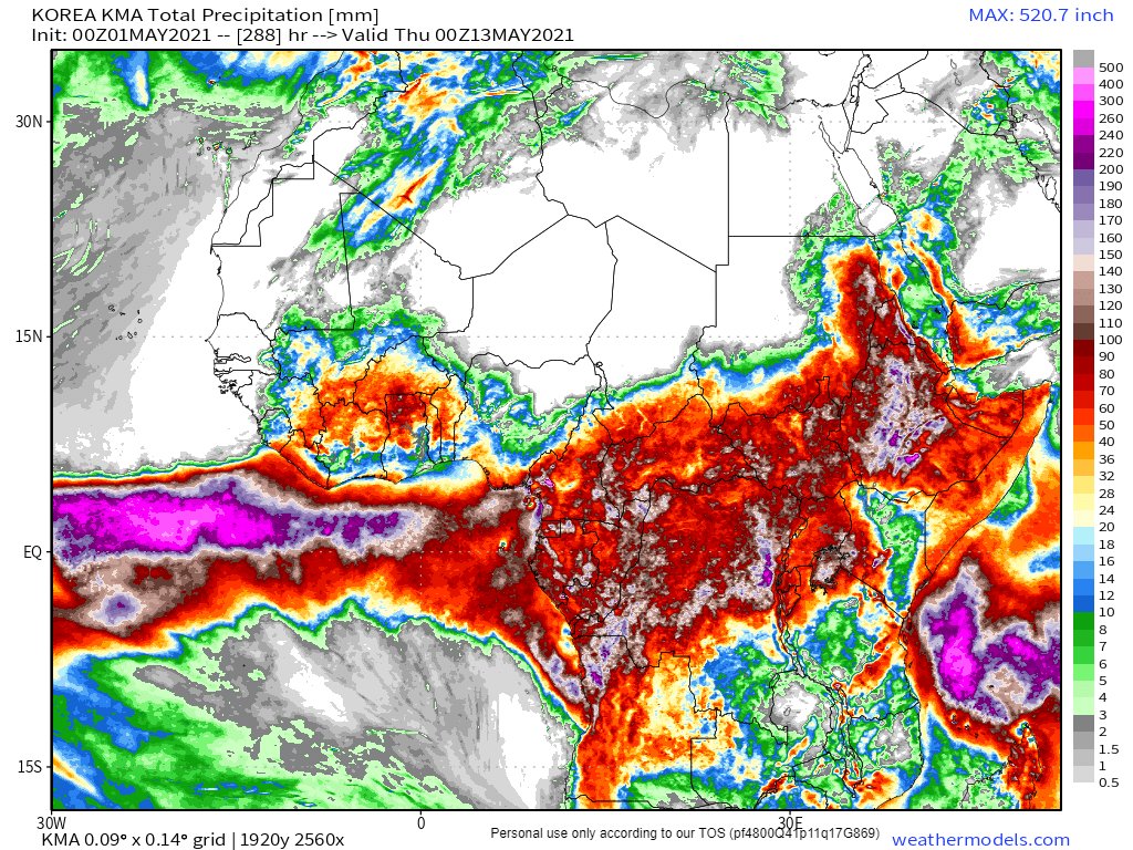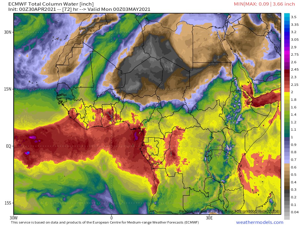
It appears that #ClimateChange is giving Western Europe a #MayDay wake up call. #WestAfricaWaterPlume
https://twitter.com/althecat/status/1388453616881635328
I have been tracking the cause of the suddenly extreme weather which is currently underway for past month. The immediate cause is described in this thread
There was a precursor event from April 17-19.
This one is a lot bigger.
https://twitter.com/althecat/status/1388420393741037568?s=20
There was a precursor event from April 17-19.
This one is a lot bigger.
And it is far from over. There is at least three more days of incoming #WestAfricaWaterPlume
The forecast above is from Europe's main weather forecasting computer model the @ECMWF, one of the two two models in the world.
However it has not been great at modelling what is underway in the Sahara. The 10 day forecast below is from the CMC (Canadian) model which has.
However it has not been great at modelling what is underway in the Sahara. The 10 day forecast below is from the CMC (Canadian) model which has.
The key take-out from this forecast model is that the flow of water into Europe continues, but weakens after 6 days. Looking at European forecasts over this period enables us to see what the models think will happen. There are four 24 hour snaphots from CMC. 


And four corresponding snapshots, 24 hours apart from the @ECMWF model.
[NOTE: All of these images show the picture before the fire hose of water across the Sahara significantly weakens.]


[NOTE: All of these images show the picture before the fire hose of water across the Sahara significantly weakens.]


That the models are in agreement is a good sign.
It makes it easier to see what is going on if you watch an animation. This one runs through till May 6th at midday.
It appears that each day there is a burst of water.
It makes it easier to see what is going on if you watch an animation. This one runs through till May 6th at midday.
It appears that each day there is a burst of water.
There is another important process. Which matches what happened after the earlier smaller event 17-19 April. In the top left. A large mass of cold arctic air comes down over the north Atlantic and the British Isles. Here is the CMC model.
The immediate impact of the Plume is likely to be yet another extension to the period of cold weather. For much of Europe for a week, and for some longer.
This animation shows how much colder it is than the average for this time of year over 10 days.
This animation shows how much colder it is than the average for this time of year over 10 days.
The two severe weather parameters we have are also looking fairly active, increasing over the 10 day period. Here is the K-Index from the @ECMWF model.
Both weather parameters are associated with the production of thunderstorms and other forms of extreme weather.
The GFS Cape Index is specifically related to thunderstorm potential and it seems to rise considerably over the 10 day period - especially near the Medditerranean.
The GFS Cape Index is specifically related to thunderstorm potential and it seems to rise considerably over the 10 day period - especially near the Medditerranean.
• • •
Missing some Tweet in this thread? You can try to
force a refresh


