So far, explanations from most climate scientists is first order basic "warmer water = stronger hurricanes" when discussing Hurricane Michael's intensity. But if it were that simple, Florence would not have (unexpectedly) fallen apart prior to landfall. My hypothesis:
First of all, an SST anomaly does not do anything. Anomalies are subtractions from an arbitrary climatology built usually upon the seasonal cycle and the previous decade(s) -- often 30-years.
Here is the "climatology" actual SST in Gulf on October 9th.
Here is the "climatology" actual SST in Gulf on October 9th.

The actual ocean temperatures near the coastline are relatively cooler than the central and southern Gulf of Mexico. There is a zonal gradient of about 2°C over 5-degrees of latitude. What's going on?
Autumn -- the march of the seasons. Shorter days and cooler land temps
Autumn -- the march of the seasons. Shorter days and cooler land temps
The last 2-weeks across the Southeast US prior to Michael were hot -- a strong ridge of high pressure set up shop and provided summer-like conditions keeping the Gulf of Mexico from cooling down -- working against the expecting cooling due to climatology.
Note, Michael had trouble organizing for 2-days until the wind shear abated and it exploded < 24-hours before landfall. The central pressure fell considerably prior to the rapid intensification -- the winds caught up. Upper-level winds (jet streak) were (+) effect rather than -
You can compare Michael's day before landfall to Harvey's ... each storm struggled with organization (inner-core).
Eventually, the continued convection (storms) lowered pressure enough & shear abated to undergo the rapid intensification from 65-knots Hurricane to Major.
Eventually, the continued convection (storms) lowered pressure enough & shear abated to undergo the rapid intensification from 65-knots Hurricane to Major.
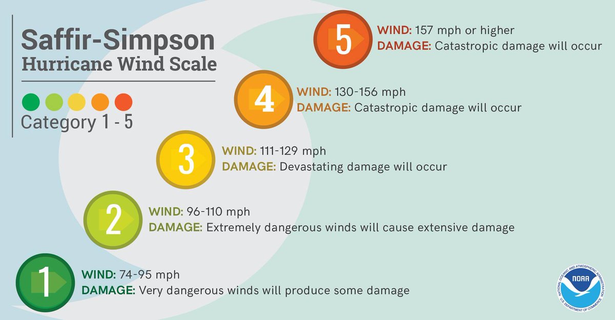
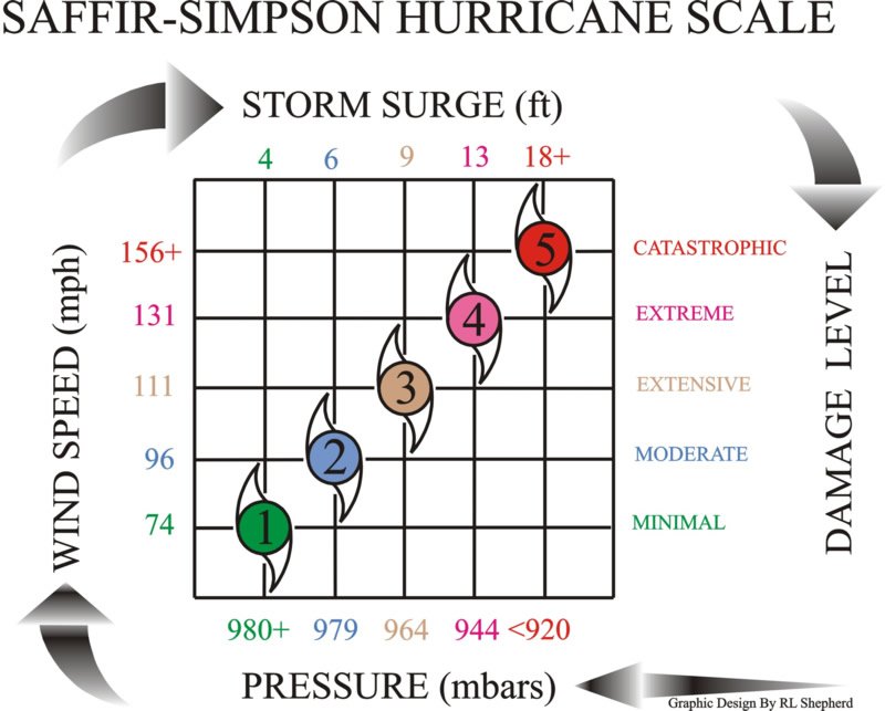
During the past 50-years or so,, almost ALL hurricanes in the Gulf of Mexico weakened prior to landfall except for a notable handful -- Camille, Charley, Humberto, Harvey, Michael ... many others reached Category 5 but all eventually reverted back to 95-knots on avg.
Main factor that weakens storms is the ocean upwelling -- the storm is unable to outrun the mixing caused by their wind fields (radius of 34-knot winds). The adjusted MPI (Max Potential Intensity) lowers dramatically
This is a function of forward motion. Faster storms win.
This is a function of forward motion. Faster storms win.
Hurricane Michael was a rather fast moving storm ... 10-12 mph on a beeline to the FL coast. Contrast this with Florence which nearly stalled along the North Carolina coast.
Harvey was fast moving, too, until it made landfall. The speed of movement over the ocean was key.
Harvey was fast moving, too, until it made landfall. The speed of movement over the ocean was key.
Every major hurricane in the Gulf of Mexico is special -- may have unique characteristics. It's really hard to identify a trend when your sample size is small.
But what if anything is special and attributable to climate change?
But what if anything is special and attributable to climate change?
A basic narrative quickly developed -- warmer water = stronger storms & it pretty much ended there. Activist climate scientists & media echoed that one fact. All else being equal, that's true. But, what about "warmer water than normal' ... is that always global warming?
In the Gulf of Mexico in early October, probably not the entire story. As I mentioned, the advance of the first cold front and transition to Fall allows the Gulf to cool off -- slowly at first -- then rapidly in November.
Shallower coastal waters warm/cool quickly.
Shallower coastal waters warm/cool quickly.
Over the past 40-years, what is the trend or change in SST in the Eastern Gulf of Mexico?
It may surprise some that eastern Gulf shifted to a warmer state in 2006 -- being much warmer than during that period of hyperactive 2005 hurricane season.
It may surprise some that eastern Gulf shifted to a warmer state in 2006 -- being much warmer than during that period of hyperactive 2005 hurricane season.

What caused this 0.5°C upward shift?
Muller-Karger et al. (2014) found the long-term trend (w/interannual variability) consistent with warming of Atlantic Multidecadal Oscillation. @curryja
Relative SST b/t Gulf and Hurricane Alley also seems to be a prognostic indicator.
Muller-Karger et al. (2014) found the long-term trend (w/interannual variability) consistent with warming of Atlantic Multidecadal Oscillation. @curryja
Relative SST b/t Gulf and Hurricane Alley also seems to be a prognostic indicator.
I'd assess the ocean warmth along Michael's track to be due to ridge of high pressure which kept coastal regions warmer than would be by October 10th, and a long term forced/unforced trend.
What caused the wind shear? A typical October cold front ...
What caused the wind shear? A typical October cold front ...
But, unfortunately, the upper-level jet stream configuration with the front / trough aligned positively with Michael's upper-level outflow & likely helped the rapid intensification up until landfall.
Why did storm continue intensifying up until landfall?
Why did storm continue intensifying up until landfall?
Simplest explanation is that Michael didn't get its act together until it reached the central Gulf of Mexico ... and it was moving quite quickly.
Had it another day over water (moved 50% slower), it would have undergone eyewall replacement cycle and weakened max winds
Had it another day over water (moved 50% slower), it would have undergone eyewall replacement cycle and weakened max winds
Slower moving Michael -- but stronger sooner -- would have aided in upwelling/mixing along the coast and weakened the storm prior to landfall like the vast majority of other Gulf 'canes. Still would have had surge -- maybe worse -- larger wind field, but perhaps lower maximum.
I'd add here that the Eastern Gulf in late-Sept and early-Oct of 2006, 2009, 2016 were very warm.
In 2016, Hermine took a similar track as Michael & formed an eye near landfall with 981 mb pressure
In 2016, Hermine took a similar track as Michael & formed an eye near landfall with 981 mb pressure
Hermine failed to become a major but nevertheless caused considerable damage to Tallahassee's collection of trees.
The 2006 & 2009 seasons were quiet. Ida in Nov 2009 became extratropical before landfall.
The 2006 & 2009 seasons were quiet. Ida in Nov 2009 became extratropical before landfall.