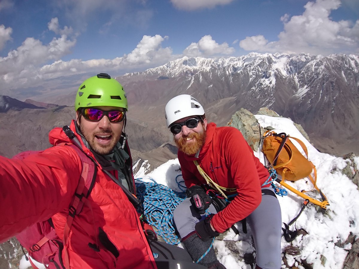
The #KMCPamirPioneers 1st #firstascent.
Want to know how we got here?
THREAD😃
@ClubKMC @MONTANEuk @ExpeditionFoods @mef_org @thealpineclub @Team_BMC @FieldNotesBrand @Rohantime
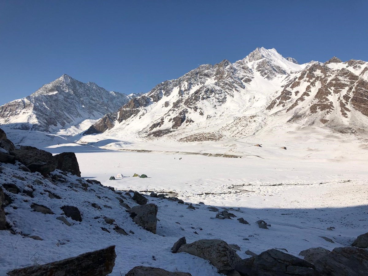
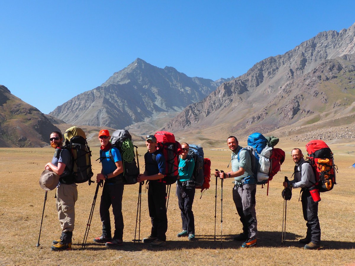
We are heading out from the relative comfort of Basecamp to the Bel Uluu Valley (between the mountains you see on the right).
Our packs are full of everything we'll need to set up ABC (advanced base camp) and do acclimatisation runs.
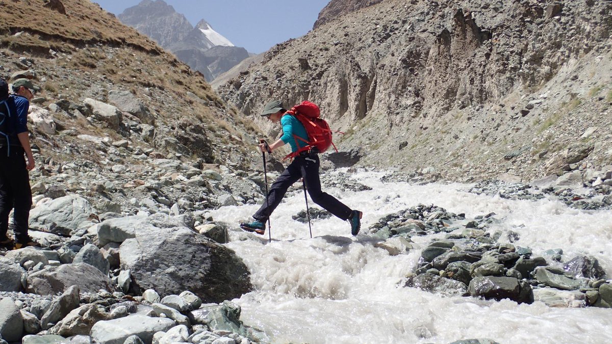
We present as evidence this photo of Emily cheerfully crossing the Bel Uluu river.
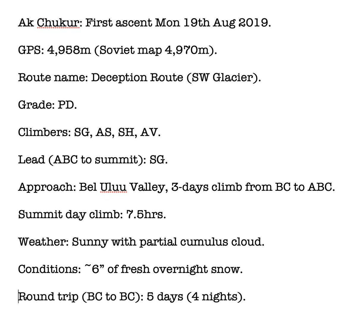
The Soviet maps listed our objective Ak Chukur at 4,970m.
To acclimatise we would need to spend nights sleeping higher up the mountain.
The rest of the team continued to 4000m, where AS, SG&SH slept for the night. ET&JK descended to 3700m to sleep.
The eagles were a genuine concern. There were ten of them & they were MASSIVE😬

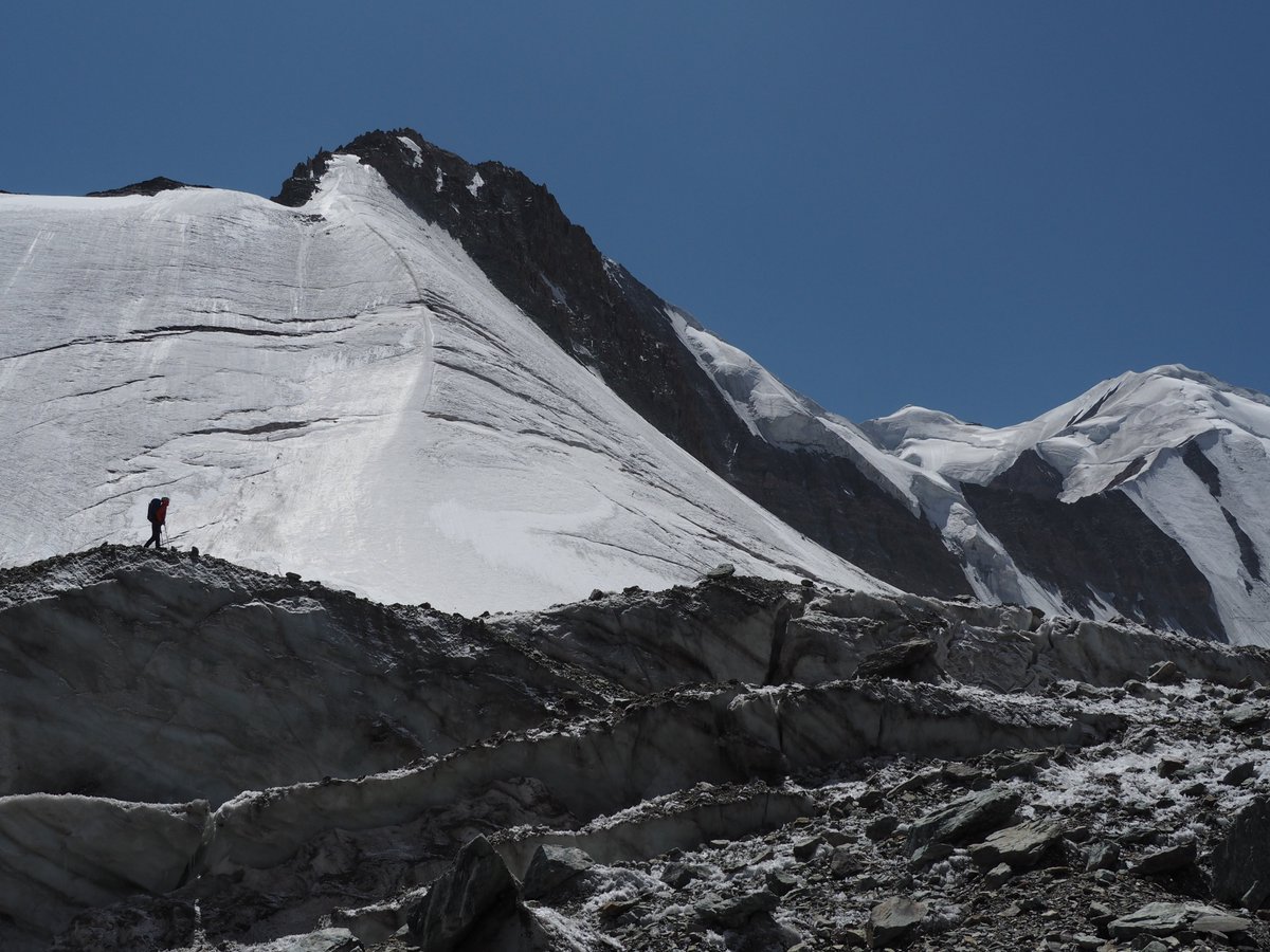
Equipment drop to ABC: Here's @StevieG_wonders on the Bel Uluu Glacier.
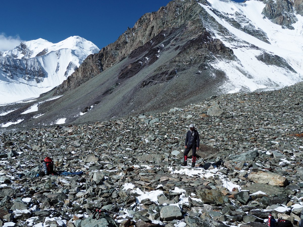
The grass ended at 4000m. First, monster Moraine then, at 4500 metres, shining pristine glacier under a bright sun.☀️
Quoting @StuartHurworth "It ate my boots".
The team were *extremely* happy to have decent mountaineering boots
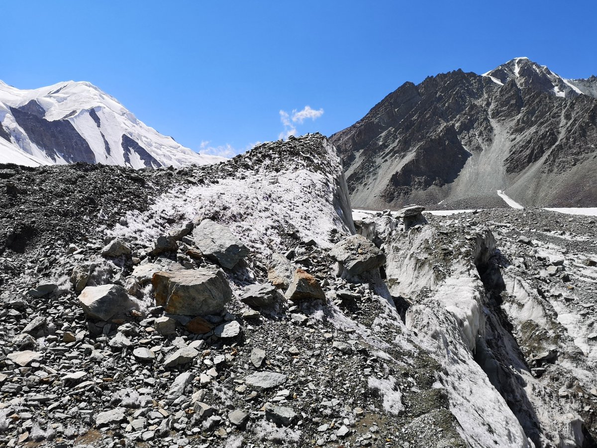
ET&JK not yet acclimatised, so decided to descend & explore two unnamed valleys behind basecamp.(Spoiler: This led to the teams 2nd first ascent - MORE ON THIS LATER😃)
AS,AV,SG,SH were ready to go build ABC at 4500m
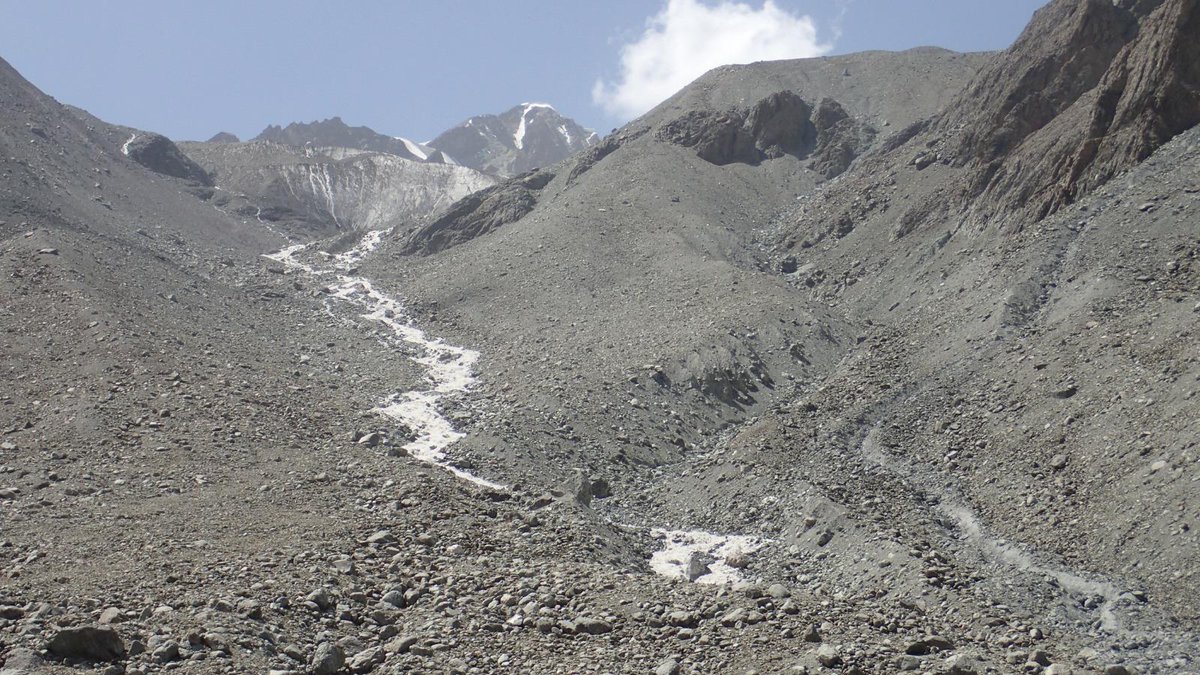
Well, take a look at this photo of AK CHUKUR. See that massive peak on the right, it's base covered in glacier. That looks like the highest point on the landscape, yes? In fact NO.
DECEPTION.🧐🤨🤨🤔
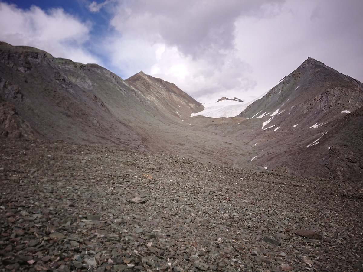
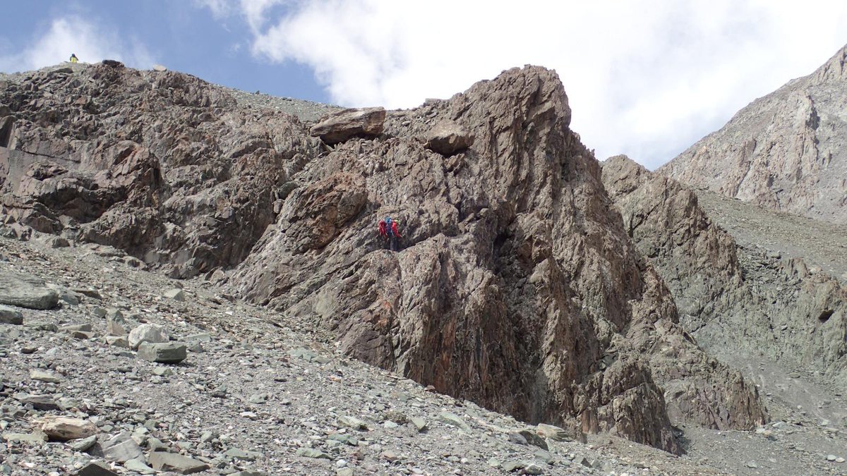
Everyone else went up the scree but @StuartHurworth decided to go his own special route up the rock face.
Oh and yes that is an eagle shadow circling overhead, thank you for asking.
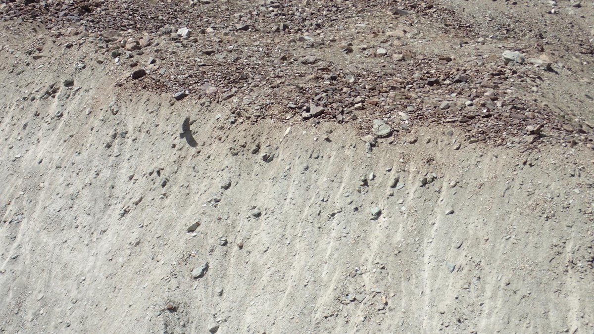
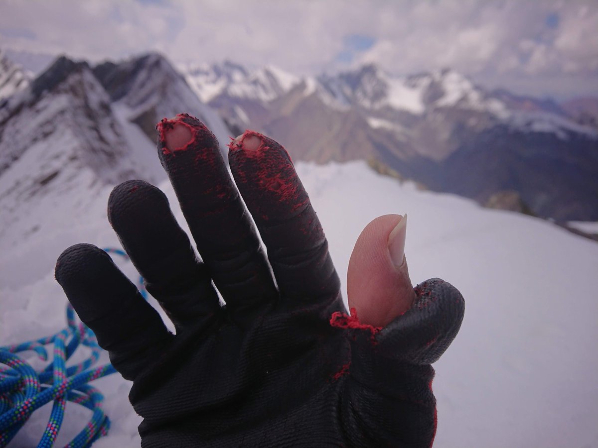
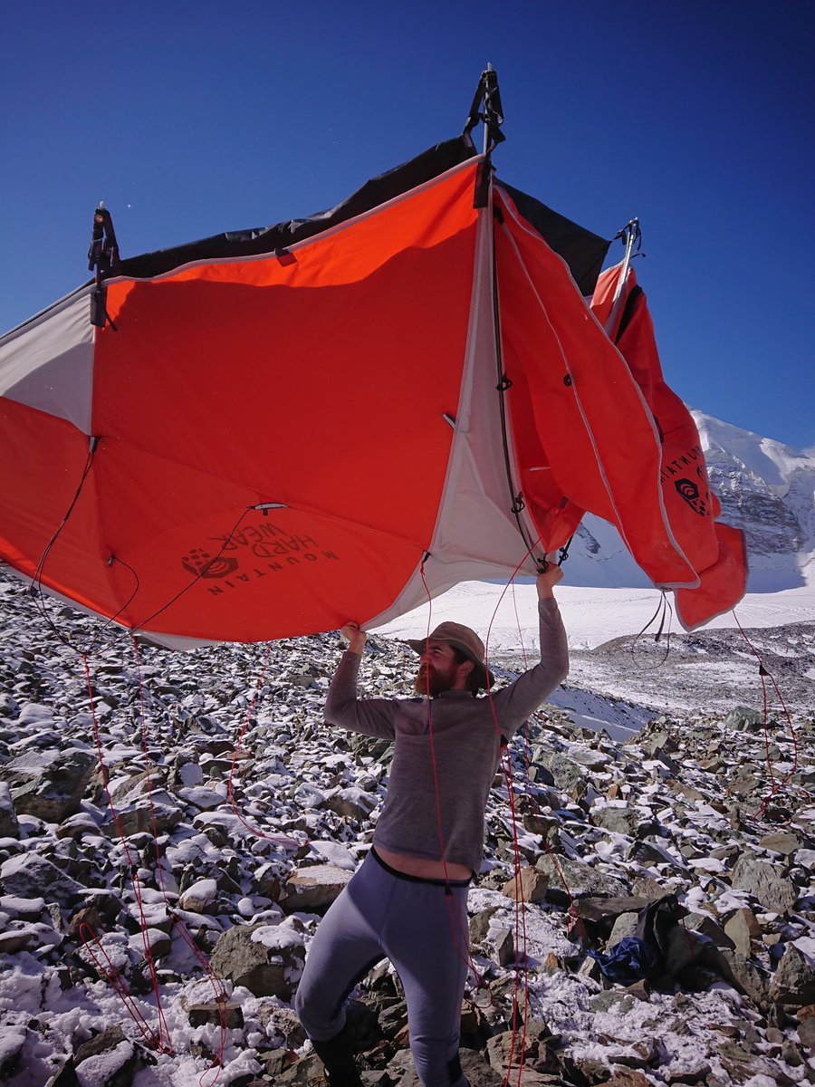
See that remarkably flat area in front of @AndyStratford68? It cost @StuartHurworth a pair of gloves.
Next day(4) would be a summit push!
Overnight.
All night.
It was... cinematic.
❄️😐❄️
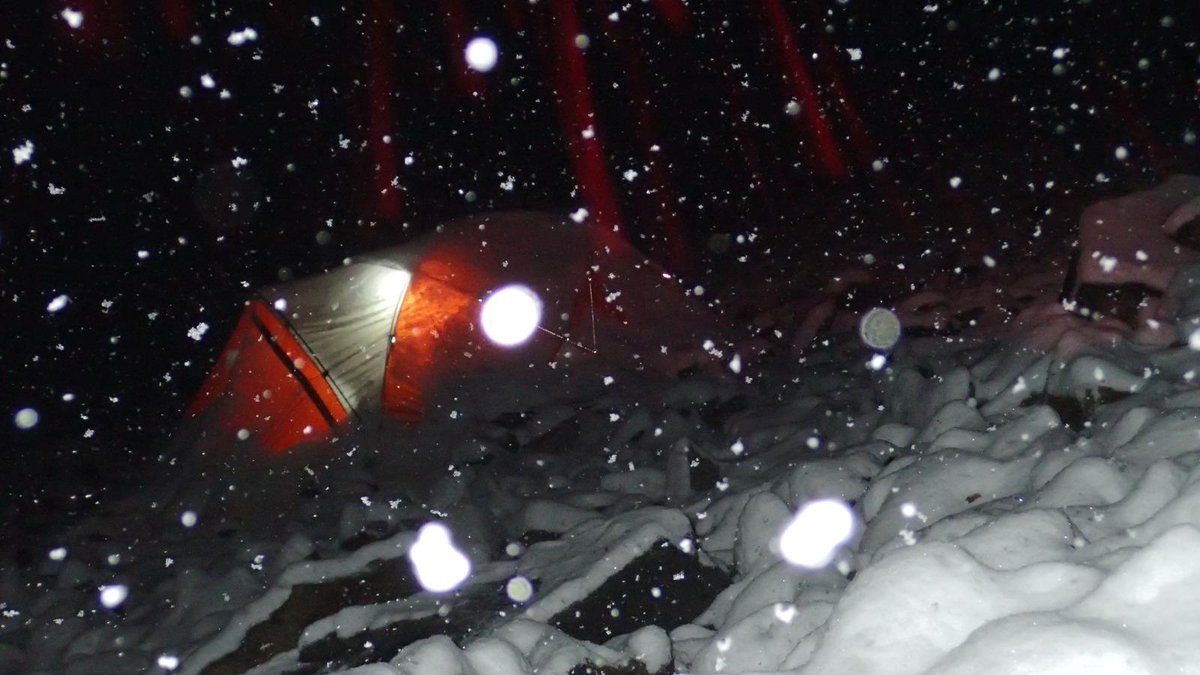
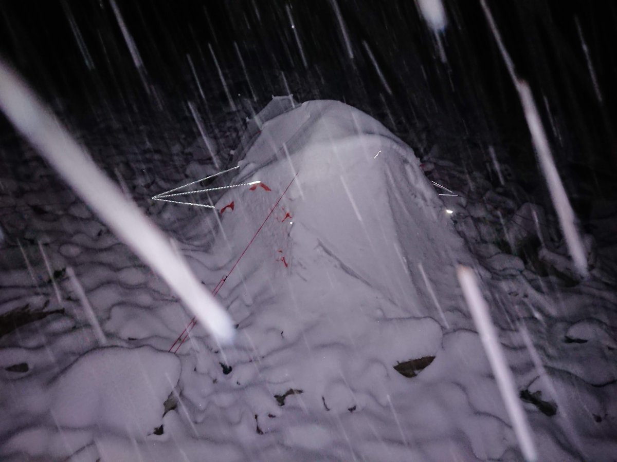
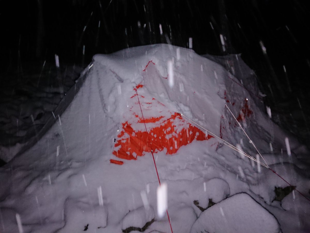
It would be more correct to say we awoke *buried* in a winter wonderland.
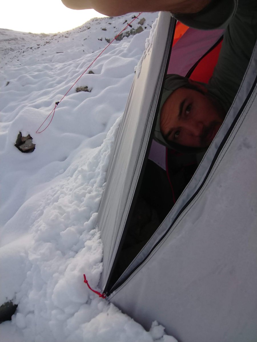
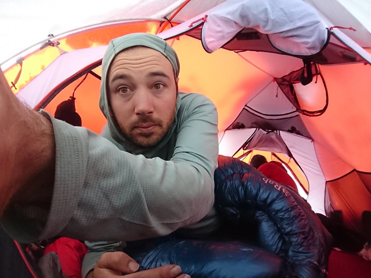
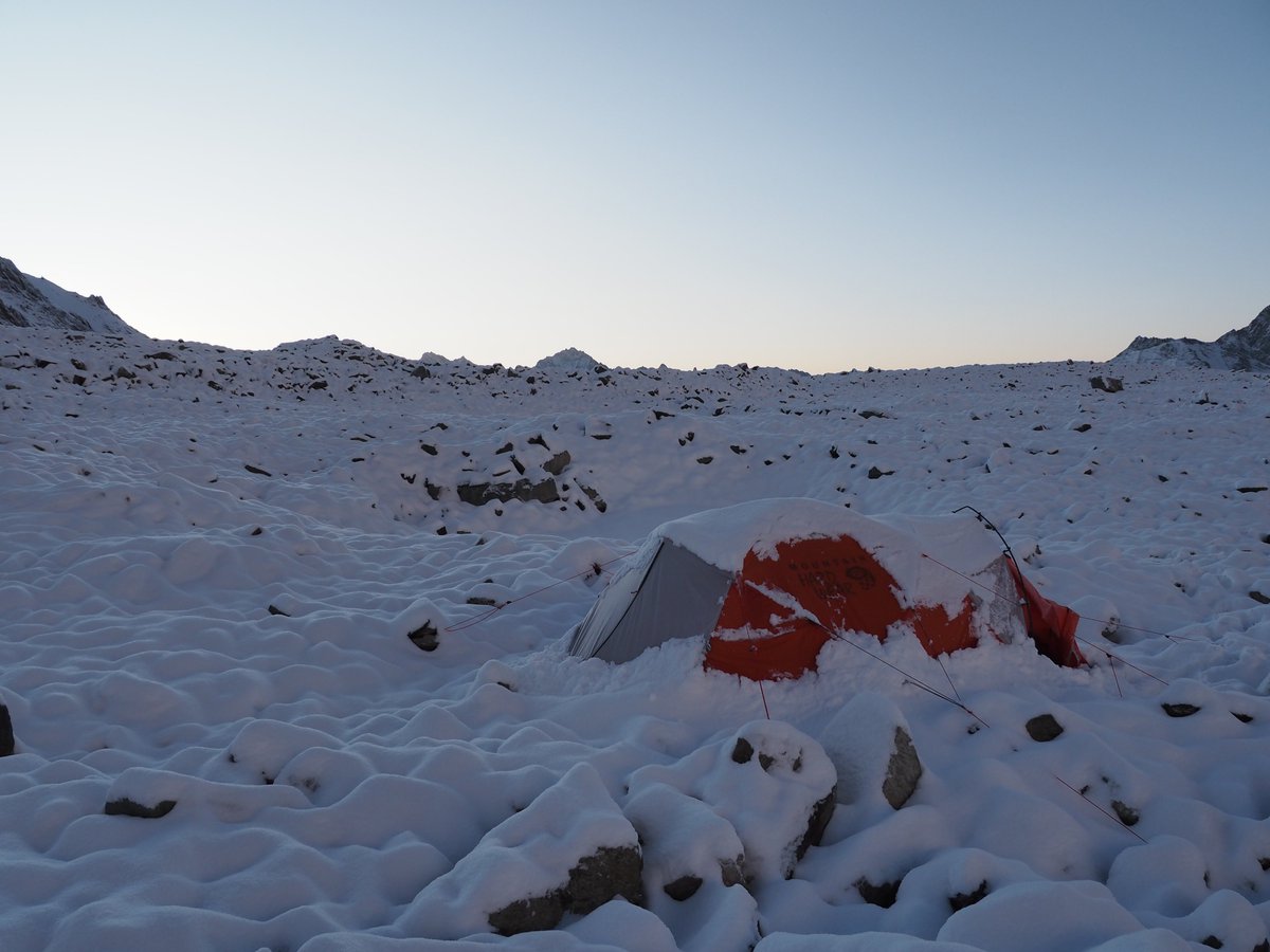
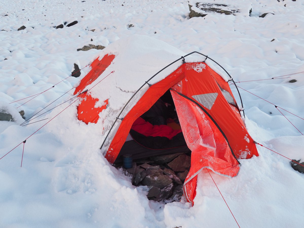
This is the view from the other side of the mountain, from this position Ak Chukur is *easy* to see - it's the highest visible point.
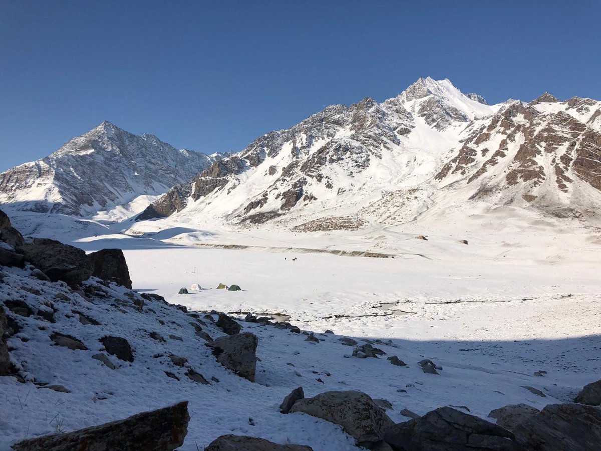
Despite the vast amount of snow, we felt that conditions were still good for a summit push.
We cleared the snow off the tents, made sure ABC was left in a sensible state and made our way up the mountain.
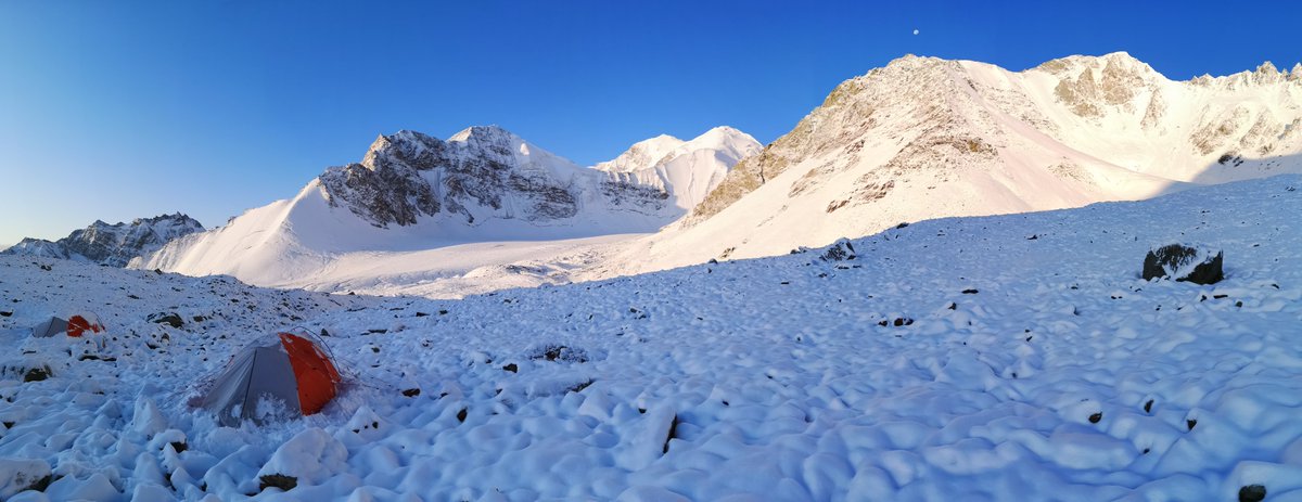

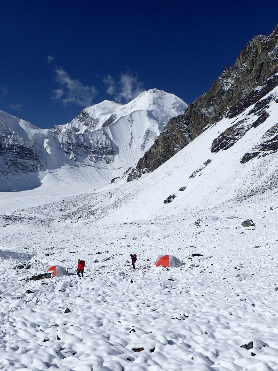
When summiting a mountain, we naturally want to ascend to the highest point. We thought that might be the peak on the right.
We pushed on until the route revealed itself.
The highest was in fact the distant peak in the middle.
DECEPTION🧐🤨🤨🤔
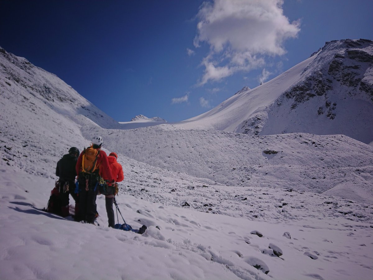
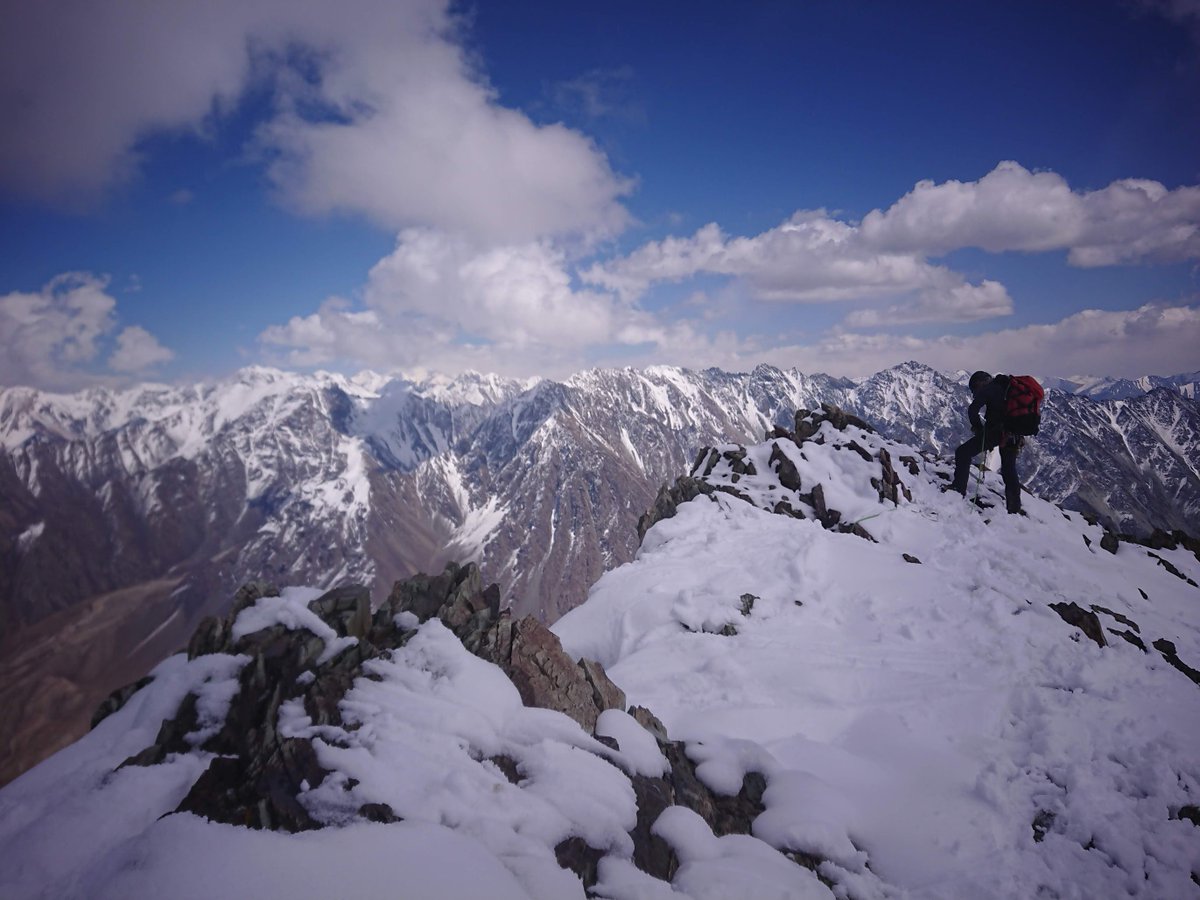
This photo of @AndyMilesExped and @StuartHurworth on the Glacier was taken at 4850m.
It was a hot day and things got surprisingly warm.
Why yes, Andy is in fact climbing in thermals.
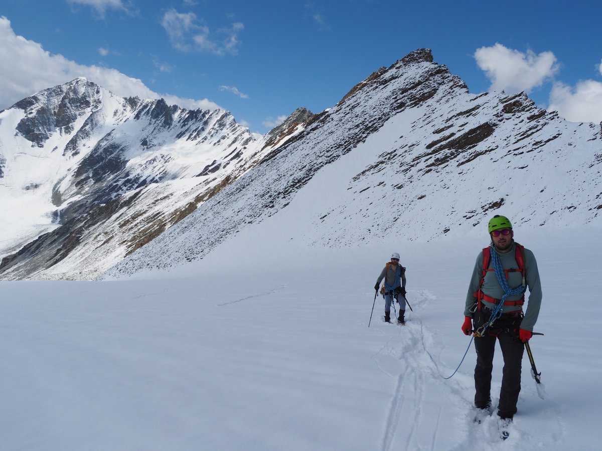
The crux pitch was led by @StevieG_wonders.
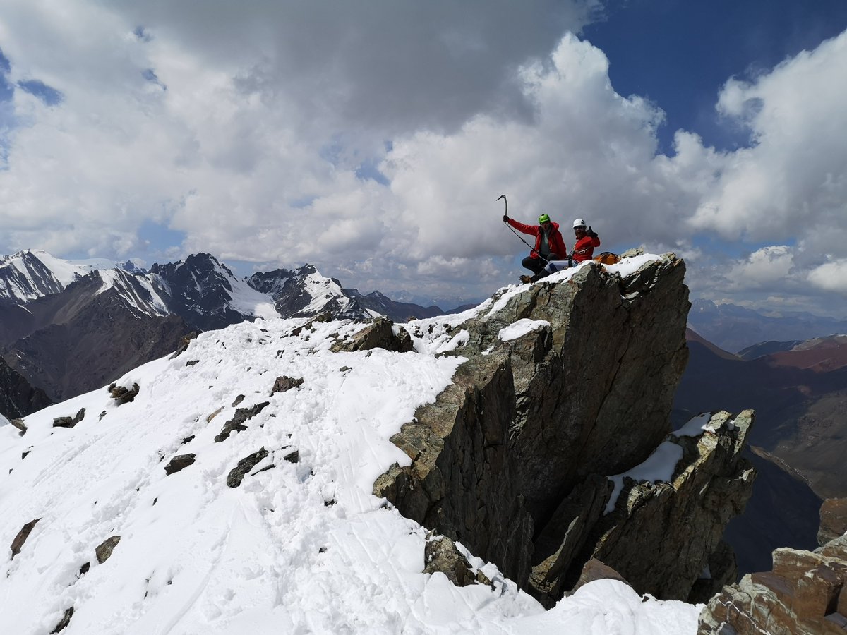
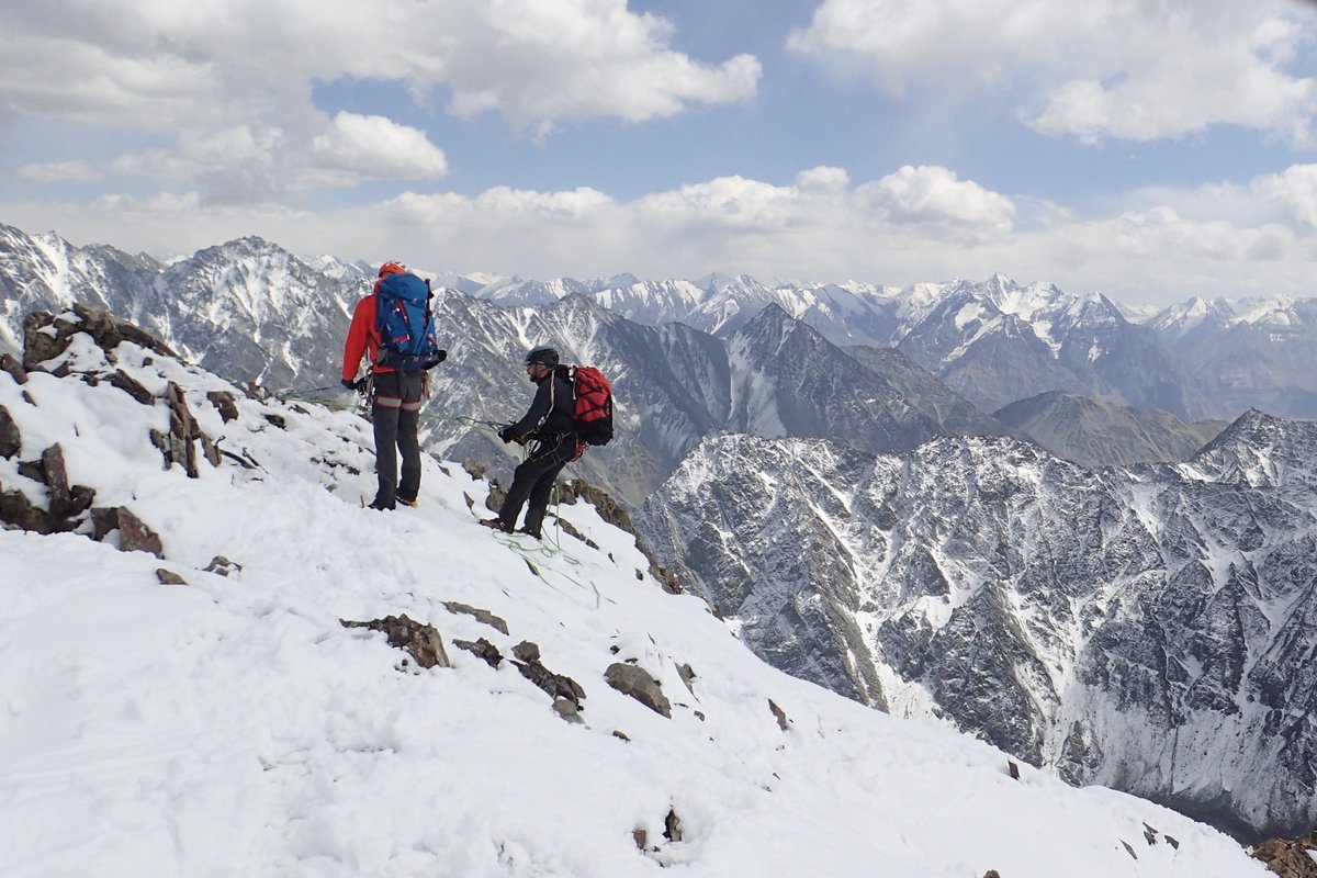
This is the final step before the summit.
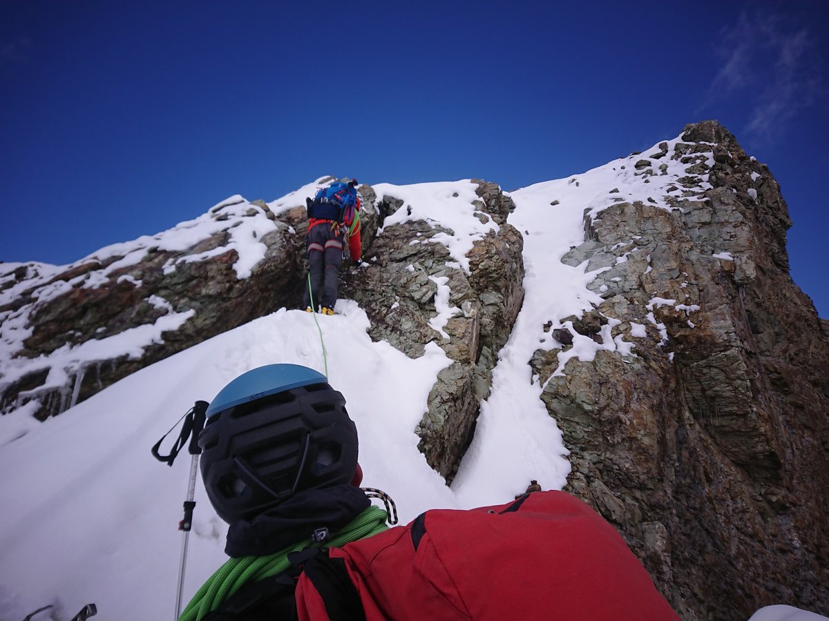
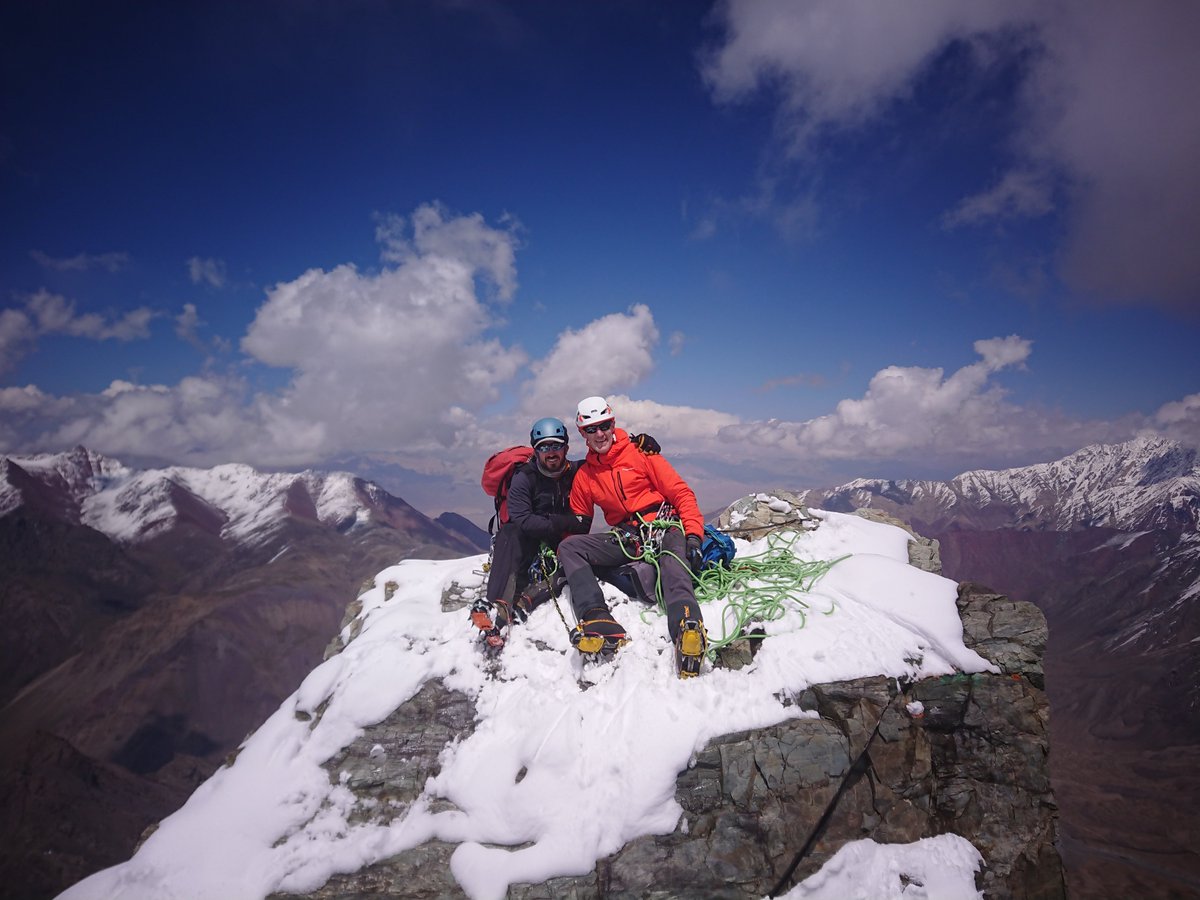
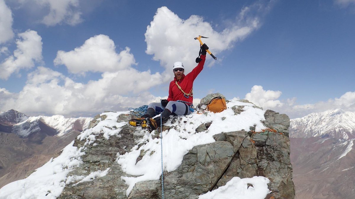
That tower is as small as it looks by the way. It can only really fit a @StevieG_wonders on it.
No, wait...
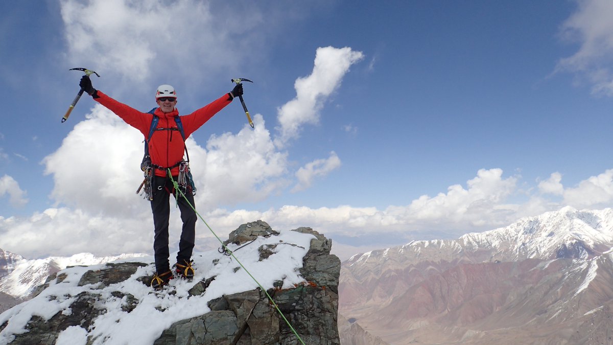
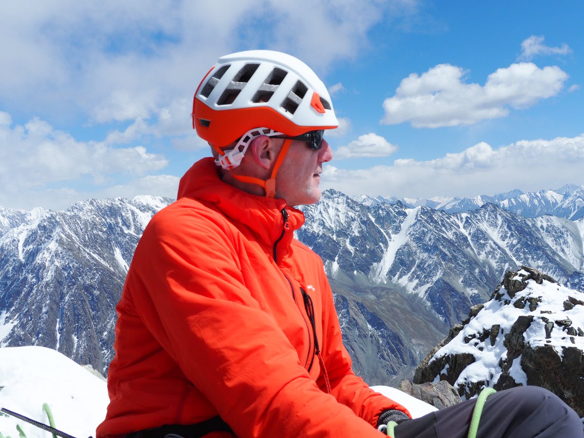
@StevieG_wonders and an @AndyStratford68!
At this point @AndyMilesExped and @StuartHurworth
were patiently waiting for their turn on the summit of Ak Churur.
And by patiently waiting we mean...
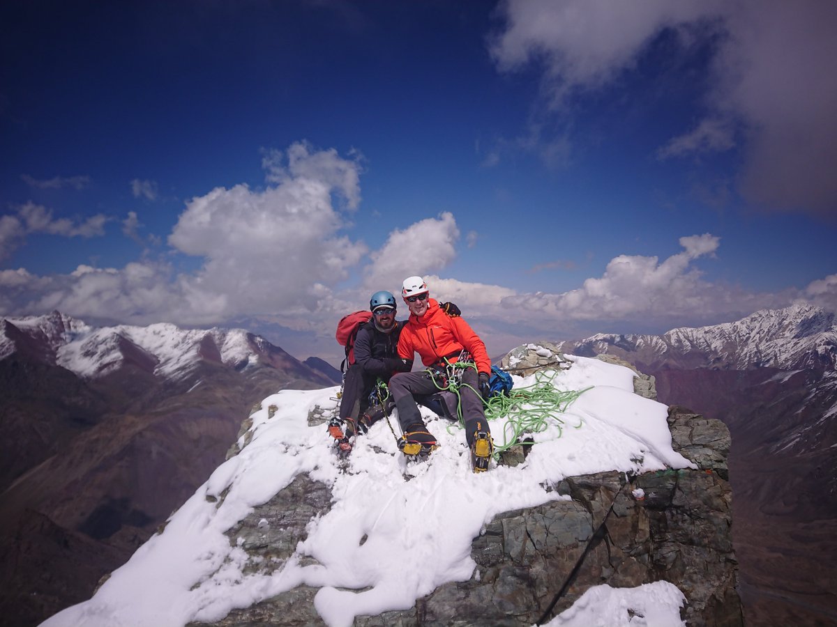
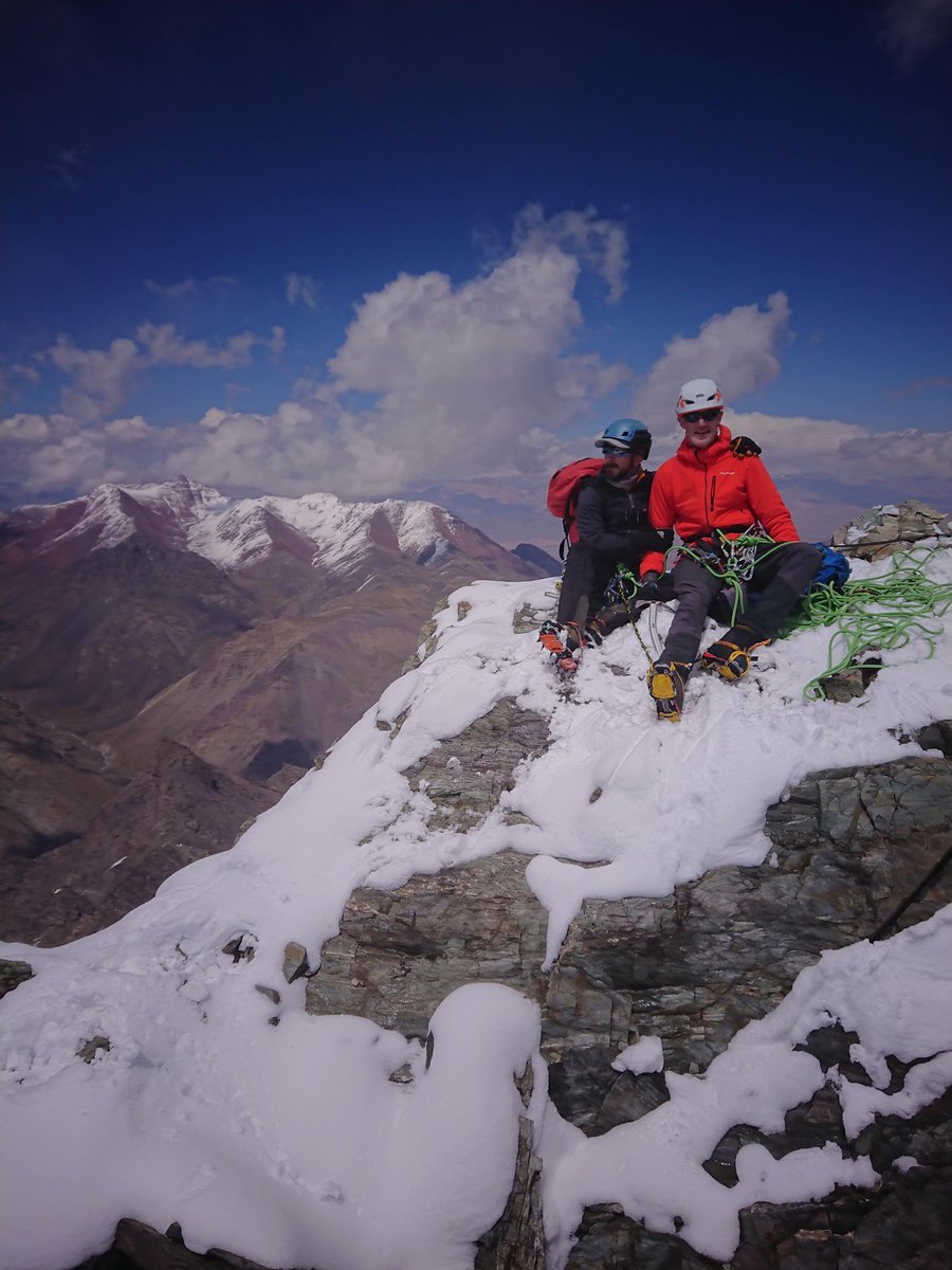
You can see the approach behind him and really see the steepness of the route we had taken.
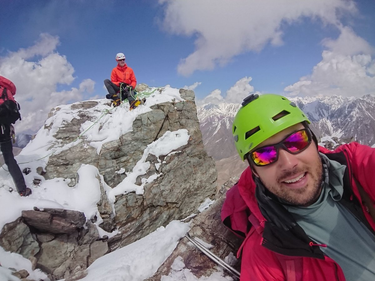

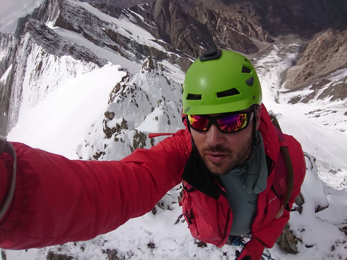
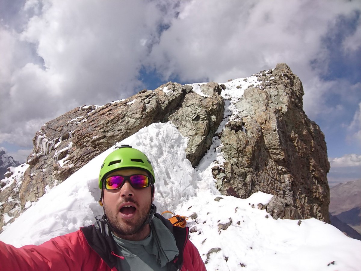
Yes this is a lot of selfies. Stuart knows how to have a good time. 😎

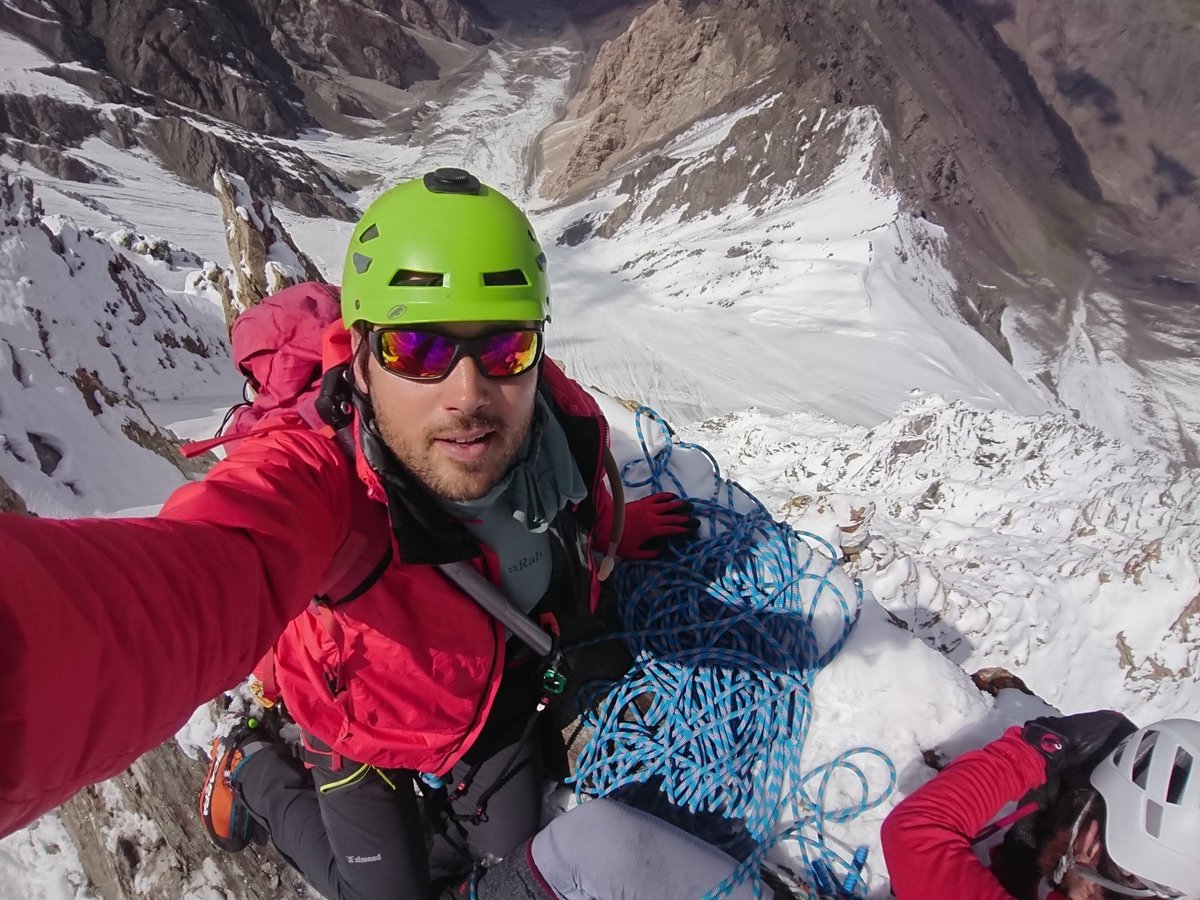
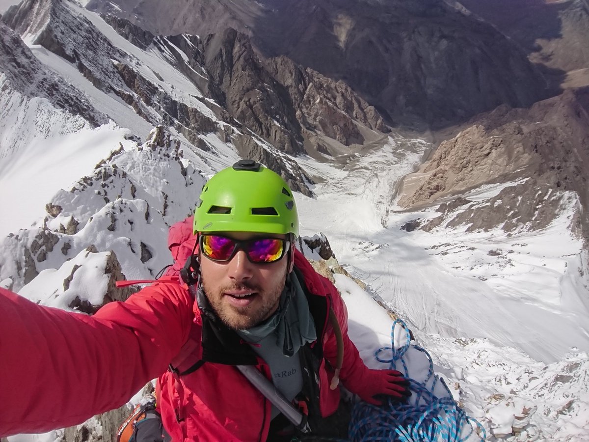
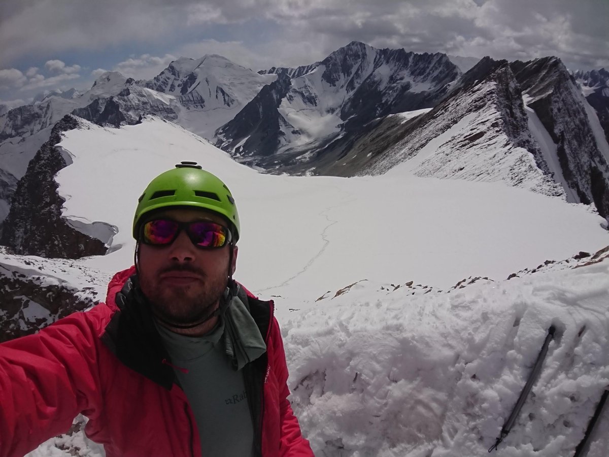
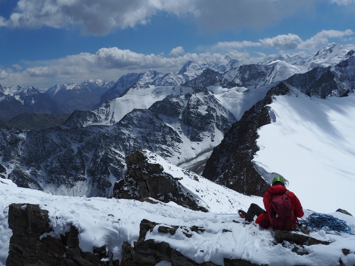
Interestingly the GPS told us we were at 4,958m and not the 4,970m expected from the soviet maps.
We don't have a photo of it but there was even an eagle circling overhead.
Beautiful.
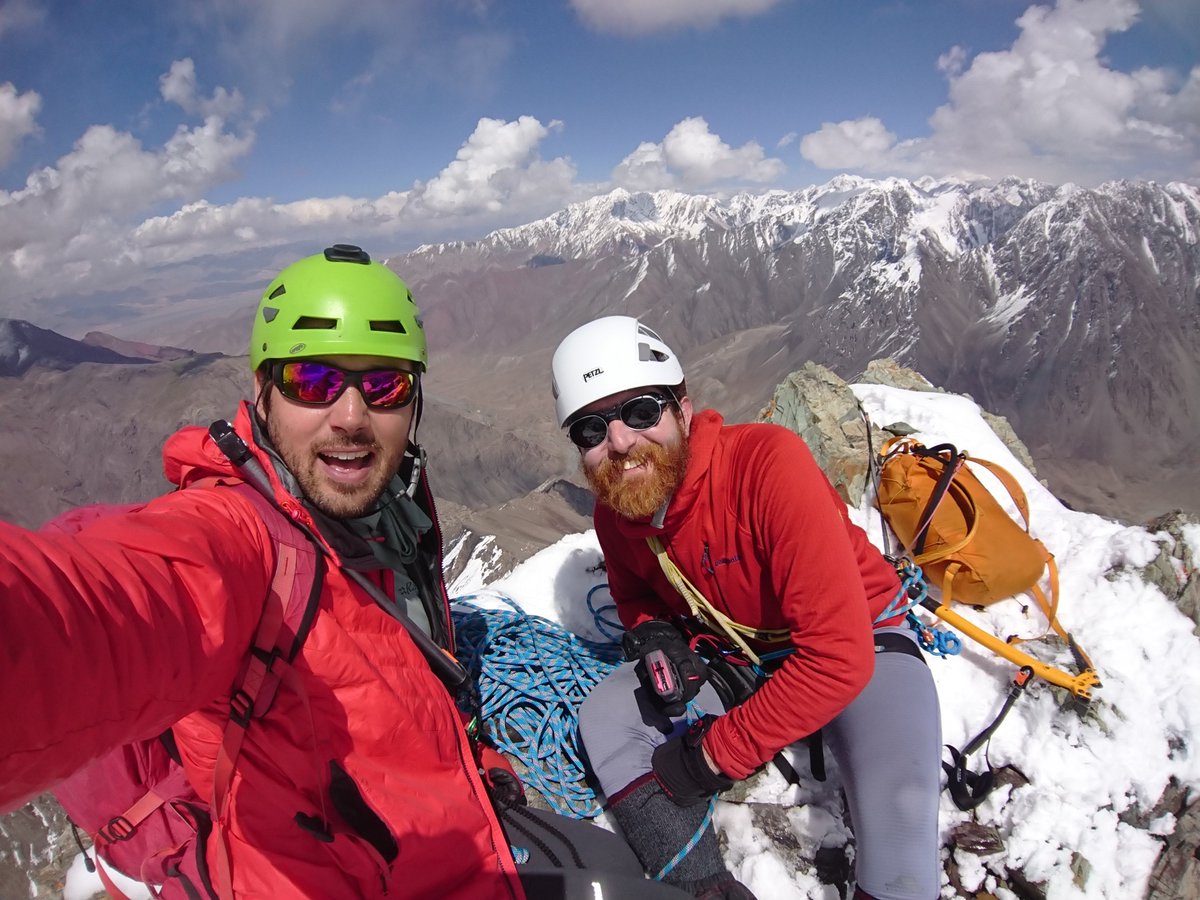
GPS: 4,958m (Soviet map 4,970m)
Route: Deception Route (SW Glacier)
Grade: PD
Climbers: SG AS SH AV
Lead (ABC to summit): SG
Approach: Bel Uluu Valley 3day climb from BC to ABC
Summit climb: 7.5hrs
Sunny, partial cumulus ~6” fresh overnight snow

A perfect climbing day.
Which was about to get slightly odder, although we did not know that yet.
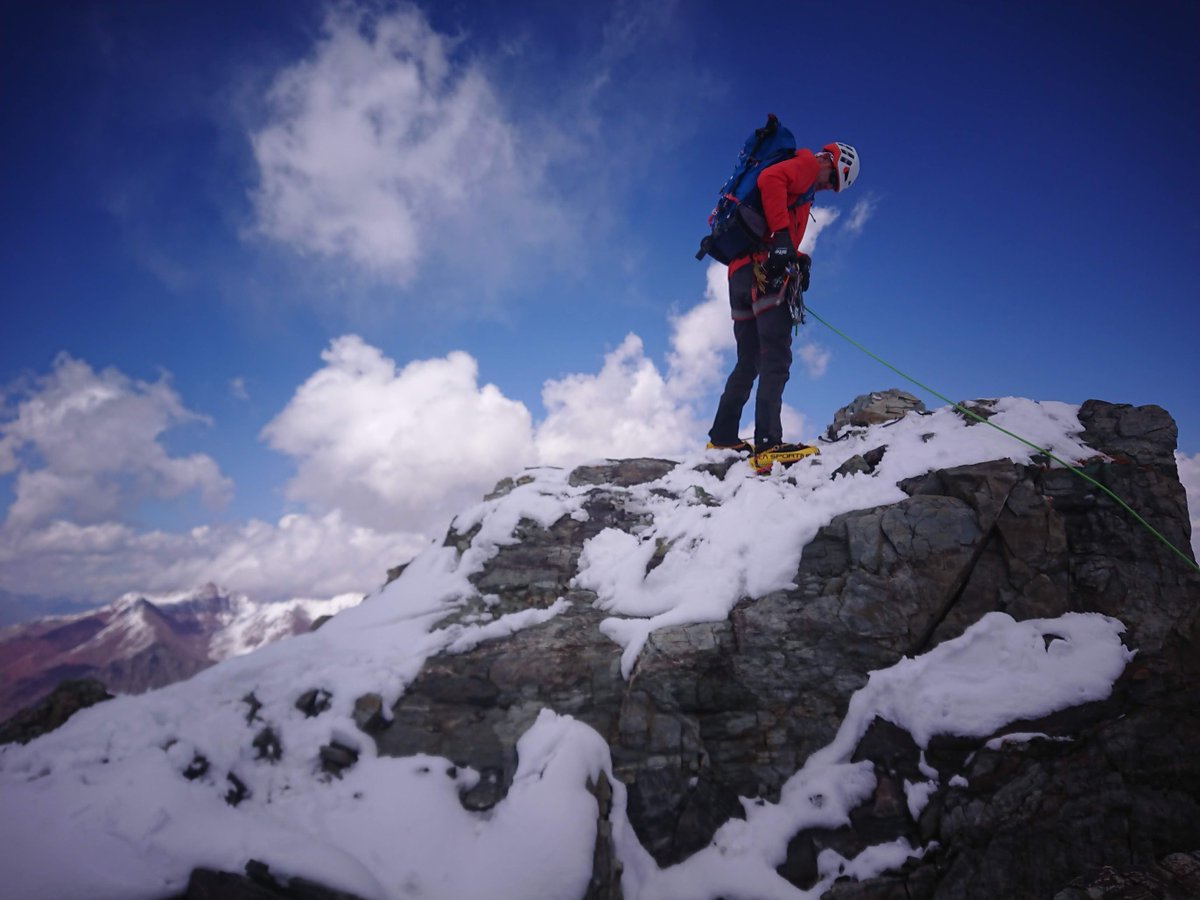
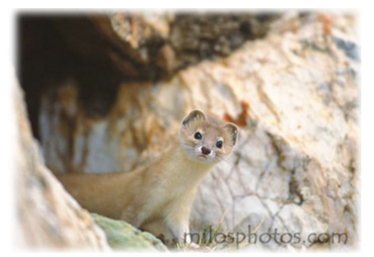
As we abseiled down we looked back up at the summit and saw what can only be described as some sort of MOUSE-FERRET perched majestically on the summit, looking directly at @AndyMilesExped.
It had come from nowhere.🐭
all-about-ferrets.com/mountain-wease…
He ran down the abseil, past Stuart.
Nobody was quick enough to take a photo.
We were too surprised.
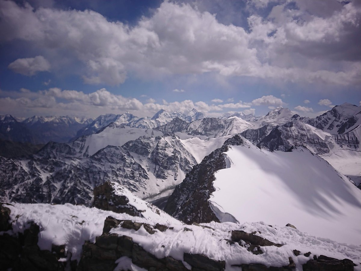
That's the Altyn-Daria river winding a gorgeous blue ribbon across the foreground.
We wondered if Emily and Jared were down there or out on a recce somewhere else.
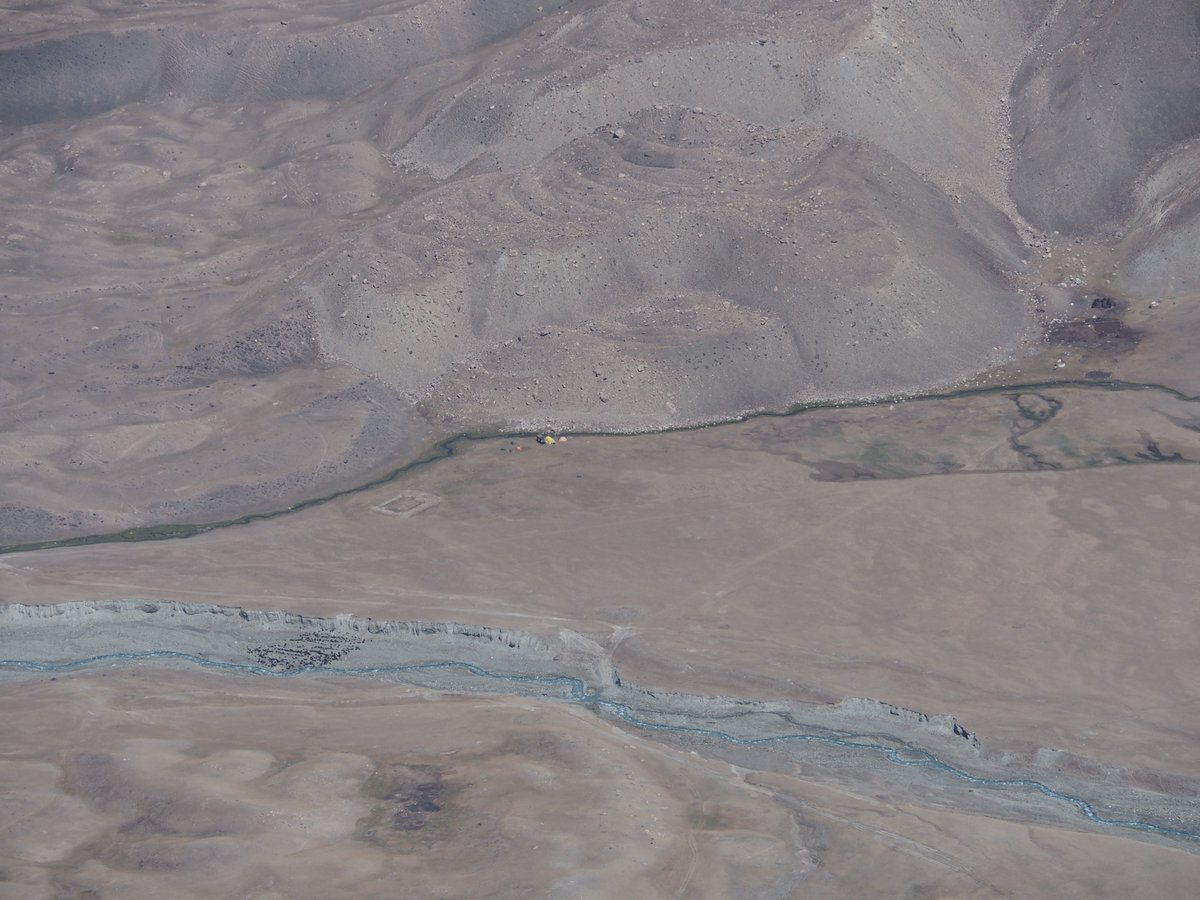
That's @StevieG_wonders foot in the top left by the way.
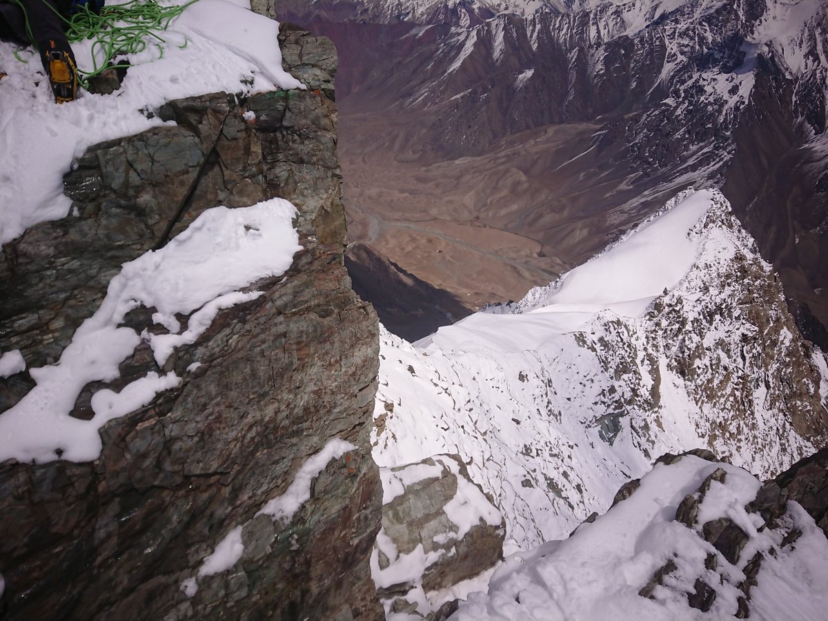
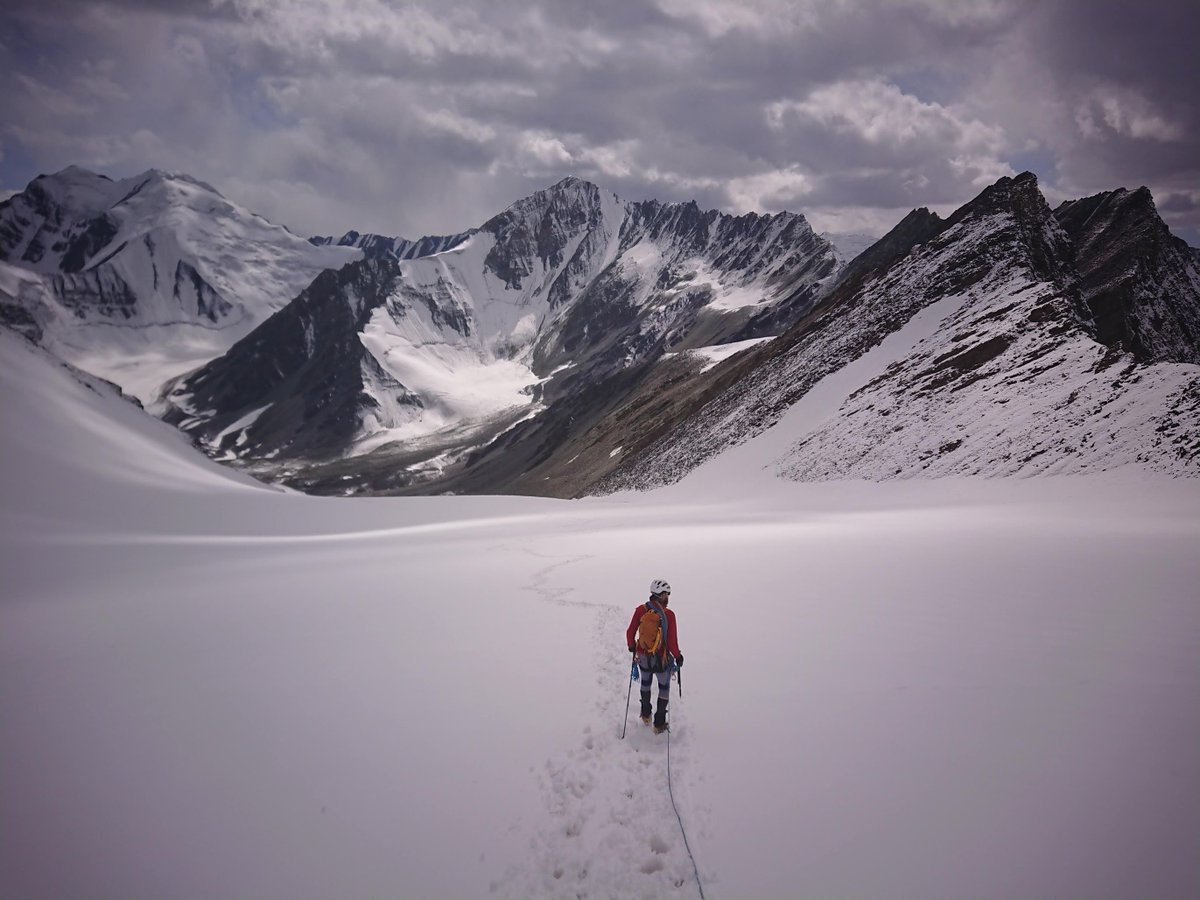
Here's a photo of Andy V following our tracks back down.
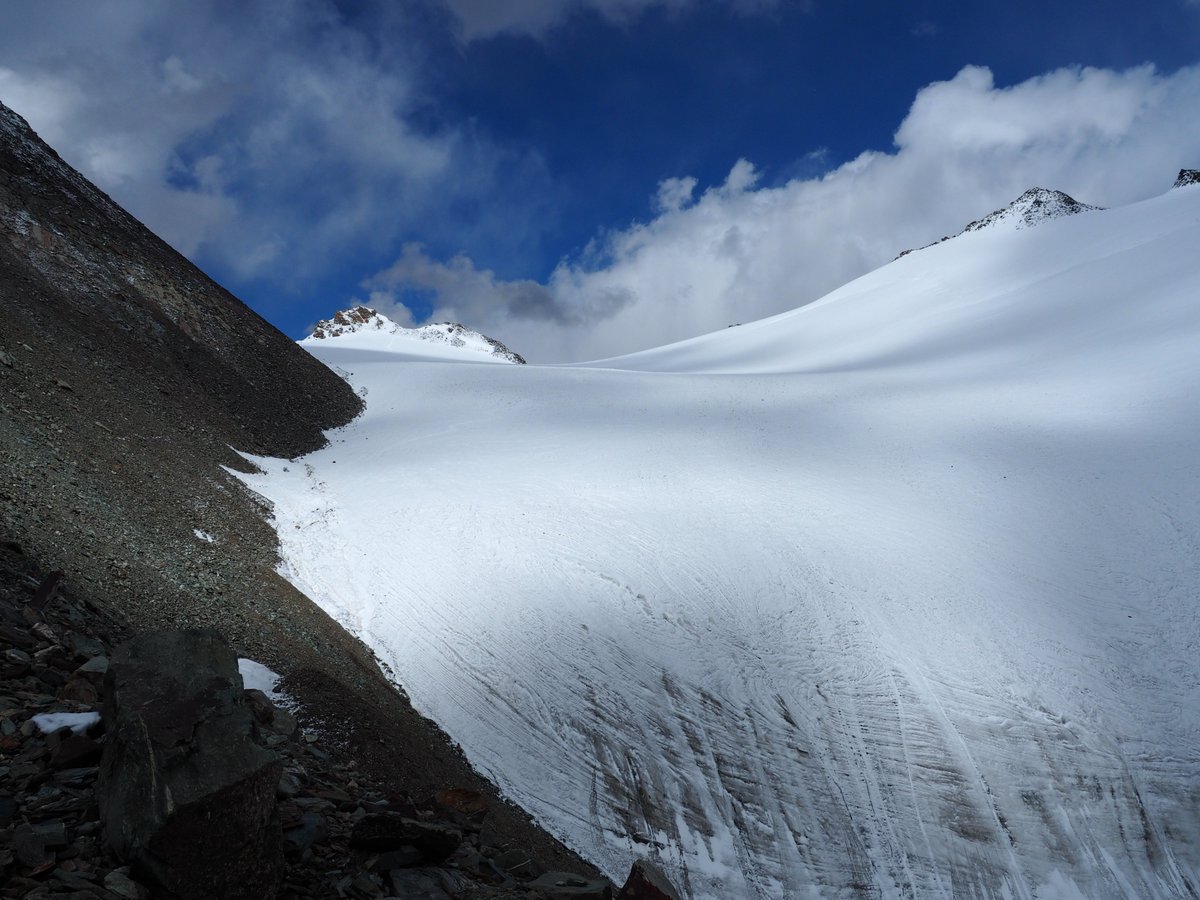
The snow had almost completely melted.
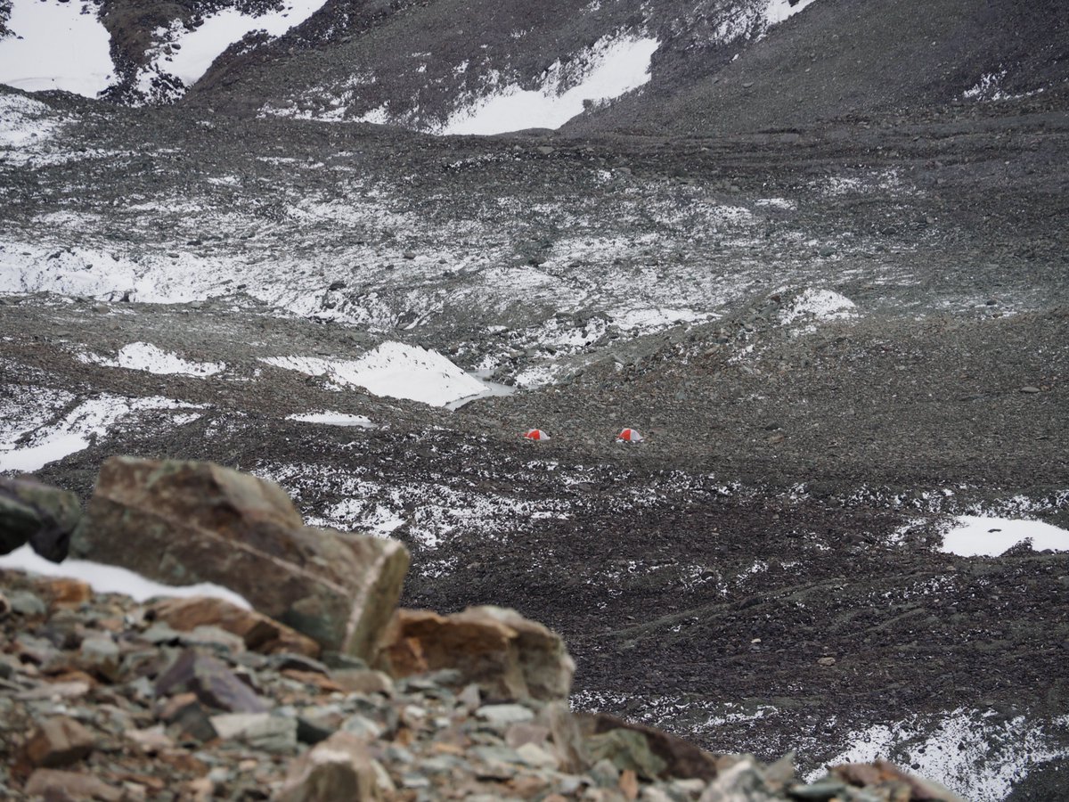
Remember that Jared and Emily @Tinkadventures had gone down the mountain to recce other peaks? This ultimately led to the teams next first ascent!
Tune in next time to hear all about the ascent of our cutest-named mountain: Pik A-Boo!*🏔️😆
*Pik is Russian for Peak


