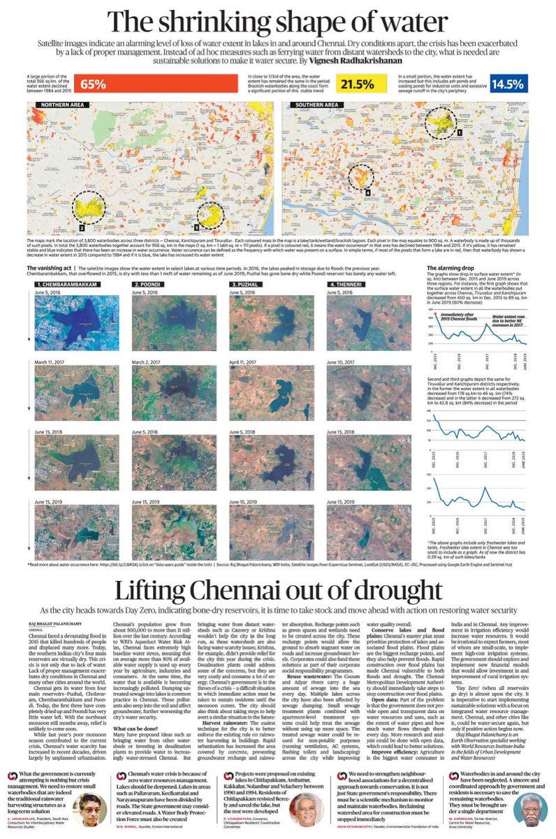
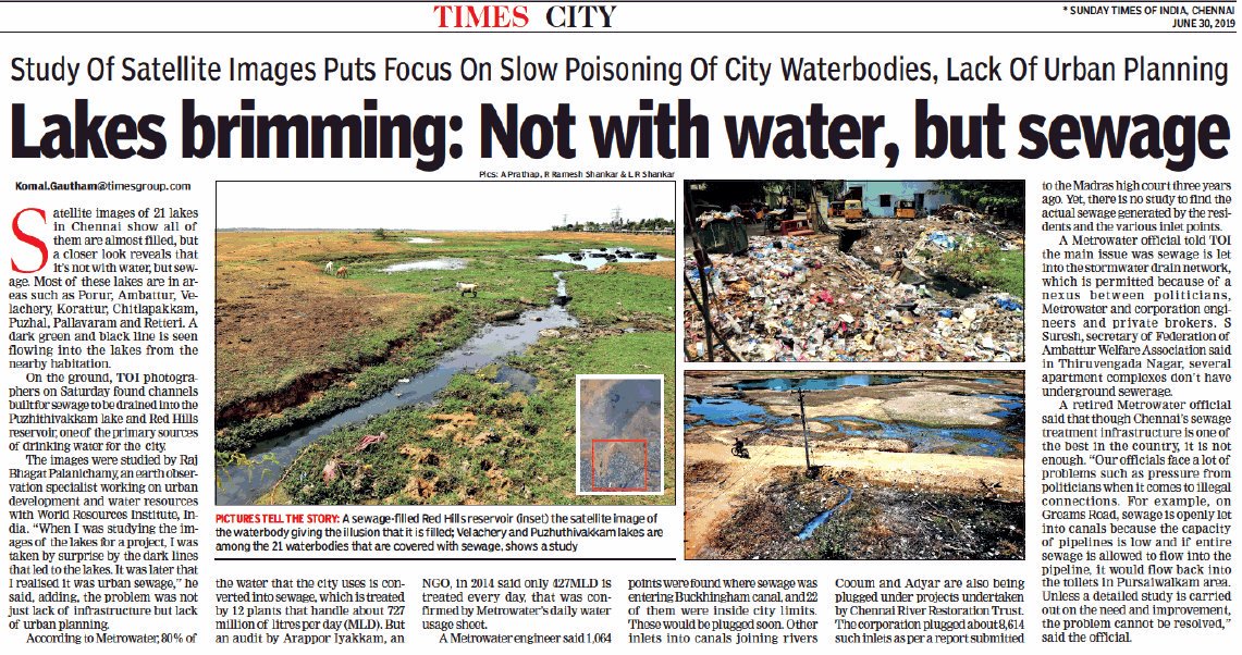
There r so many flood incidents this year. One big problem s that we haven't mapped flood plains yet. Many crucial infra (road, railway) are built in flood plains with less care
Kabini Flood simulation shown here
FYI @PrinSciAdvGoI
1/n
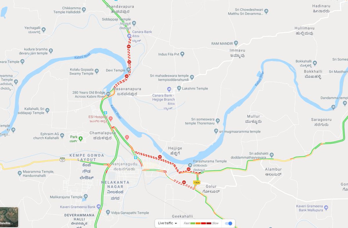
Like #MahalaxmiExpress case, Kabini takes a sharp bend n a highway is present in flood plains
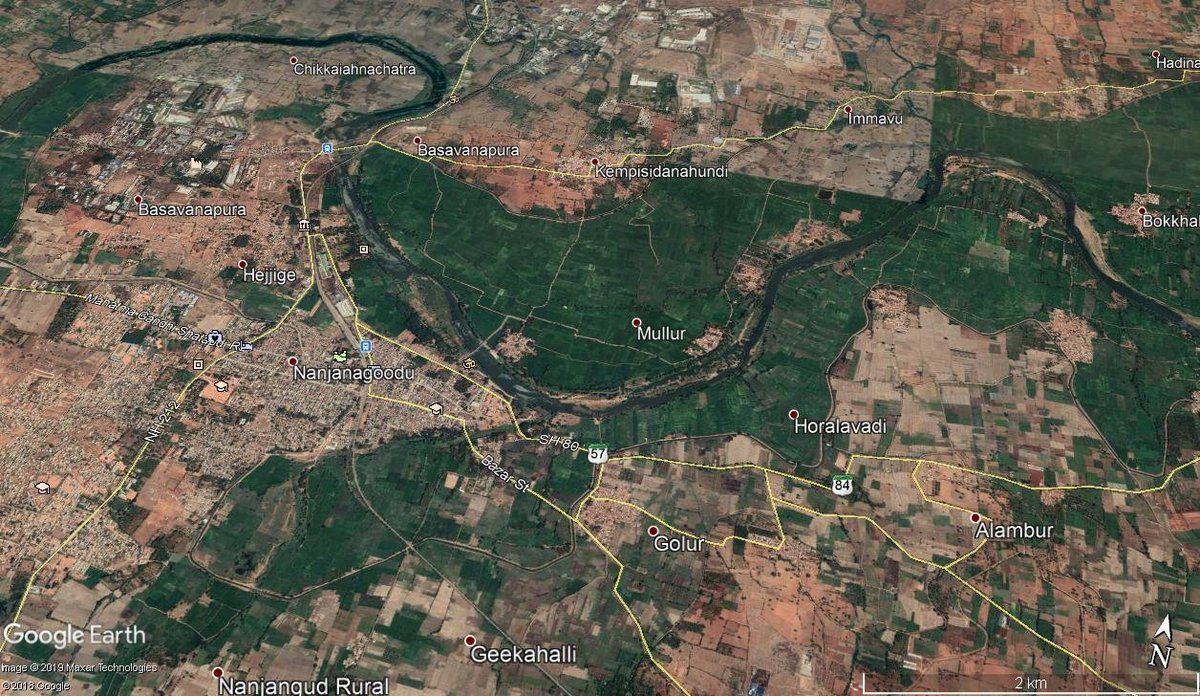
Map shows Kabini river's path near Nanjangud (flood sim. was done for this)
2/n
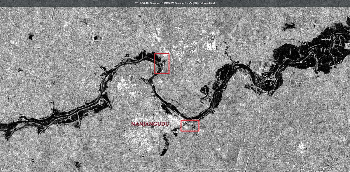
Most of the flooded areas were farms
But two sections of the flooded areas have highways n builtup area in them (marked in red)
Data @CopernicusEU @sentinel_hub
3/n
These article describes them from ground
|
starofmysore.com/nanjangud-floo…
thenewsminute.com/article/over-1…
4/n
Roads across India often act as water barriers n lack enough culverts to transport water between land tracts aggrevating situations
5/n
6/n
We should create #NationalFloodPlainAtlas for India. This flood prob map should be used by planners, developers to avoid constructing(or prepared for) in critical areas. Insurers n fin inst can use them to avoid funding risky ones
Read n RT
@PrinSciAdvGoI @PrinSciAdvOff

