There is something glorious about the images that @zoom_earth captures. I especially like the large symmetrical and fairly stationary area of cloud in the North Atlantic in this image.
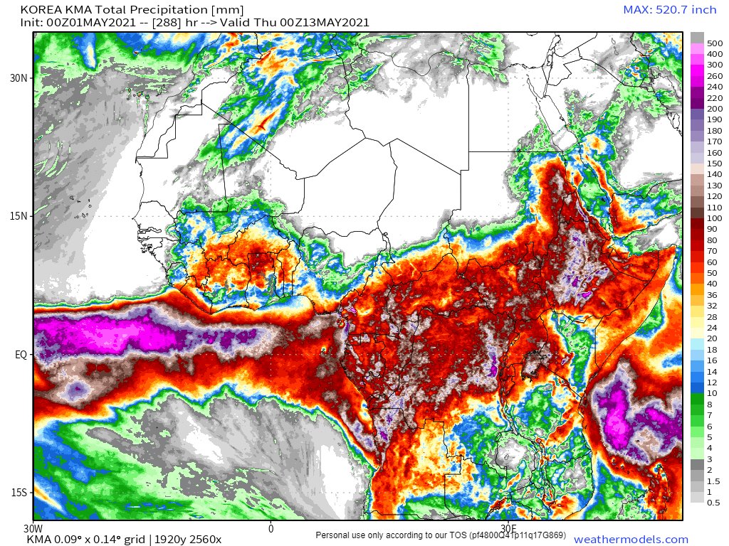
Today's North African long range (12 day) rain forecast is taken from the Korean KMA model as it looks to be a lot closer to what we are seeing in the skies today.
I have been tracking the cause of the suddenly extreme weather which is currently underway for past month. The immediate cause is described in this thread
The transformation of #WestAfricanPlume's presentation overnight is extraordinary. It's line has moved 1000kms east. It's still running as hot as last night.
A rough estimate of the speed of the cloud movement last night put it an over 220 kms per hour.
The wet Atlantic air is set to make its way up into the arctic and settle a low pressure system over Scandinavia.
Together these two factors result in a continuous flow of cold air from the arctic over Scandinavia and North Sea and the UK.
I spent May 2017 in Glasgow and it was glorious. By the end we were getting 29 degree days and everyone was out in the Botanic Gardens with shirts off.
And in Geneva the past two years it’s been a bit thunderstormy, but only in the afternoon.
In the animation above you can see a flow of clouds from Sudan to Oman. This flow actually originates to the South West in the Central African Republic. Here you see the CAR to Khartoum leg of the journey.
Over the day this stream of moisture intensified powering storms in Oman, which then split into two streams, one heading north over Iran and one to the East to India.
In the world of Africa/Europe/MiddleEast weather today has been quite spectacular, in a new and revealing way. And the star of the show has been the #WestAfricaWaterPlume.
The plume has now stolen the European stage entering stage left and heading directly towards Moscow. The precipitation animation below is from @meteoblue. Rain reports are not 100% accurate as they are satellite & not radar driven.