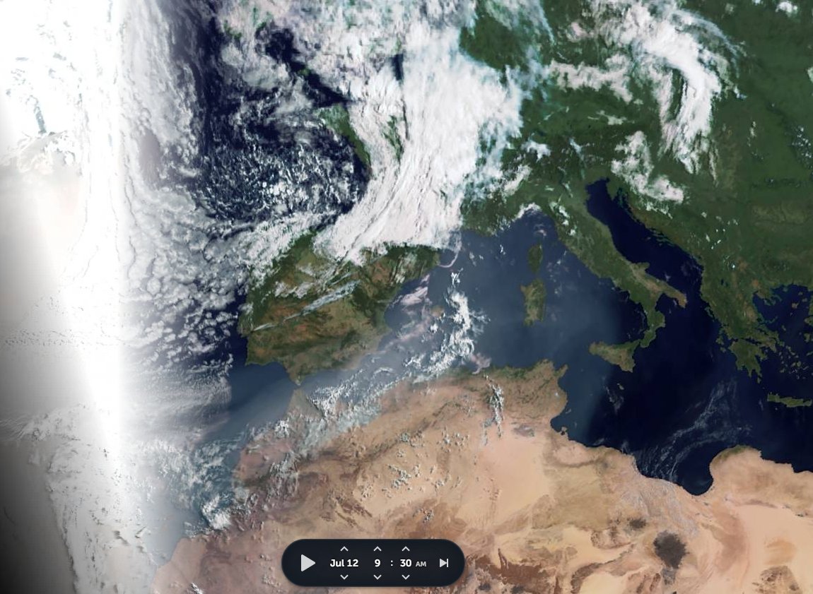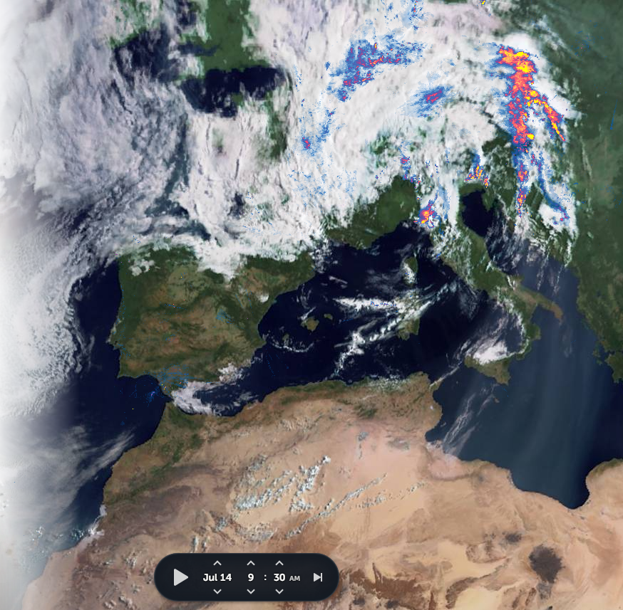
Today's #ArabianStorms thread took a bit of a detour into looking at today's fatal floods in #Benelux and #Germany, and the causes for the weather pattern that brought them.
Turns out that a #WestAfricaWaterPlume is involved. When it comes to weather we are #AllInThisTogether.
Turns out that a #WestAfricaWaterPlume is involved. When it comes to weather we are #AllInThisTogether.
https://twitter.com/althecat/status/1415729122907721729
Here we see satellite images for the three days leading up to this. And a close look at this satellite imagery [@zoom_earth] suggests that the the persistence of the storm, which is far from over, is due to it being mainlined tropical water from the West Africa Monsoon. 


On @zoom_earth you can watch animations of the satellite data to check this for yourself at this link >>zoom.earth/#view=40.2,-1,…
For the TL/DR version in two tweets.....
1. This storm is three days old and it has another three days to run according to forecast. Its not moving & its getting its moisture from somewhere.
1. This storm is three days old and it has another three days to run according to forecast. Its not moving & its getting its moisture from somewhere.
https://twitter.com/althecat/status/1415739437041000453?s=20
... and this shows us exactly where. Mali.
https://twitter.com/althecat/status/1415741585975922690?s=20
• • •
Missing some Tweet in this thread? You can try to
force a refresh


