This GFS weather model setup in the West Pacific (next 16 days) looks pretty hazardous beyond #Invest98W which is forecast to become a cyclone within the next three days.
Here as still images.
- 20 July - Impacting China and Southern Japan
- 21 July - Landfall China
- 24 July - Three lows near Japan (1 cyclonic)
- 30 July - Two new lows in typhoon formation zone
The PWAT forecasts show a very significant increase in precipitable water over this period. This is the first 120 hours from GFS Hourly model.
Over the following five days 120-240 hours the intensity of the West Pacific Monsoon increases further.
And then it continues. By the end the end of the month there are large areas of the monsoon with 3-4 inches or PWAT in the water column and seven visible rotating low pressure systems.
The MLSP at this point shows 9 tropical lows over water, and one depression.
• • •
Missing some Tweet in this thread? You can try to
force a refresh
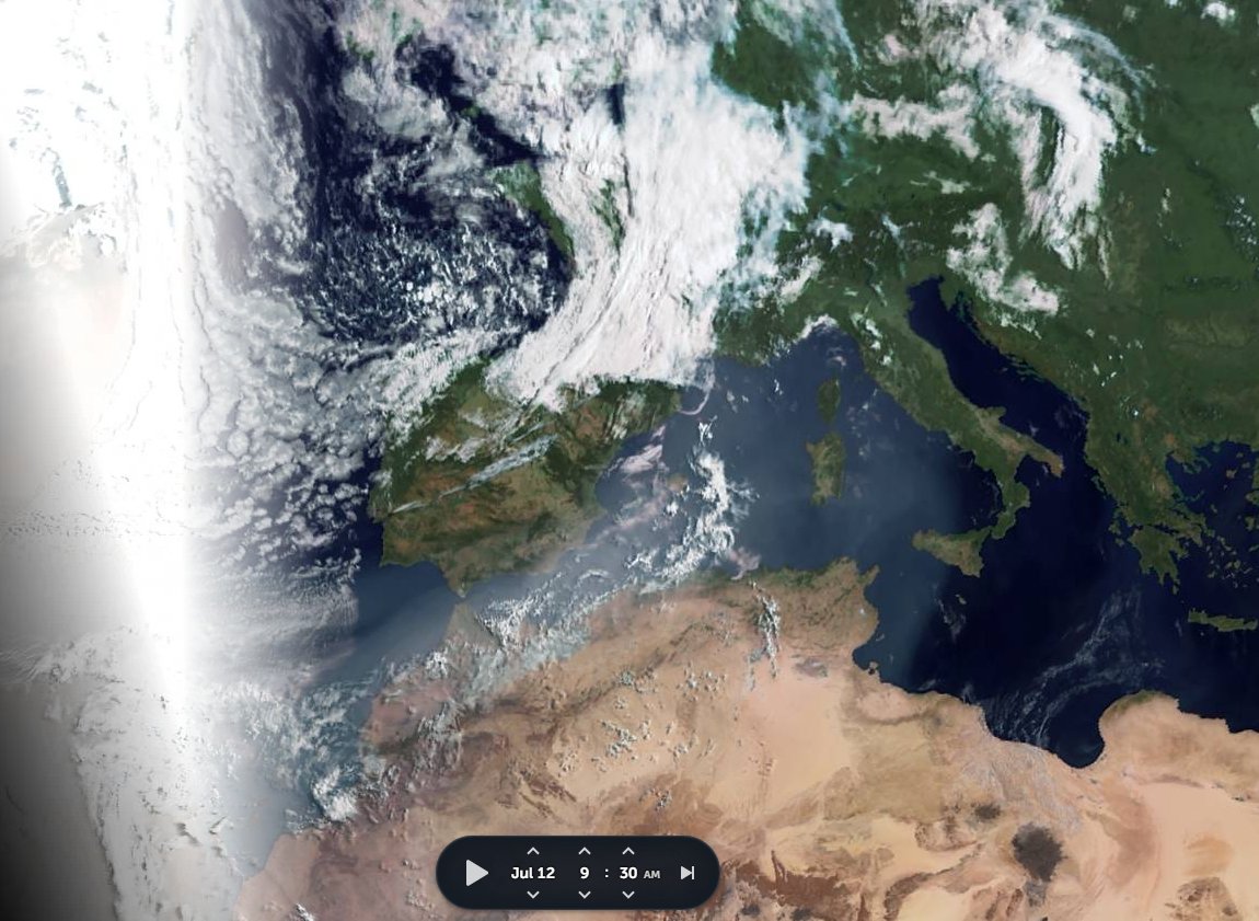
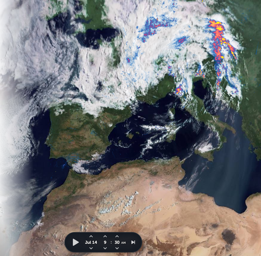
Today's #ArabianStorms thread took a bit of a detour into looking at today's fatal floods in #Benelux and #Germany, and the causes for the weather pattern that brought them.
Here we see satellite images for the three days leading up to this. And a close look at this satellite imagery [@zoom_earth] suggests that the the persistence of the storm, which is far from over, is due to it being mainlined tropical water from the West Africa Monsoon.
It's raining cats and dogs in the highlands northern Ethiopia tonight. Across all of Tigray and south into the #Abbay basin which is busy filling the GERD. The #ArabianMonsoonBlast is getting into gear now but it is far from over.
Today's Rainfall forecasts follow.
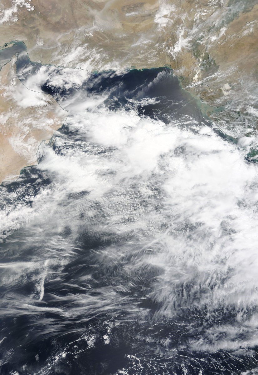
The Bay of Bengal and Arabian Sea are ultimately responsible for all of this and so we begin with a couple of satellite images of them today. I will post another picture of the #GERD as soon as it reveals itself from under the clouds.
Ongoing coverage of Invest 98w, currently south east of the Phillipines and forecast by the GFS to make landfall in China, after formation and swift strengthening over the next few days. Here is a picture as the Sun came up over the west Pacific ocean.
This cyclone candidate is interesting for two reasons: 1. intrinsically as a potentially dangerous storm and 2. because of the wider set up around it which is detailed in yesterday's thread.
This animation is from this afternoon.
Meanwhile we have a new cyclone candidate in the Atlantic also, #Invest99L which is also stationary and presents visually in a similar manner to #Invest98w. It is developing in a similar spot to the first Tropical Storm of the 2021 Hurricane Season, Ana.
On day 3 of #ArabianMonsoonBlast here's the view over the region tonight. This is definitely bringing rain, and lots of it to both Tigray and #GERD.
Today's rainfall forecasts follow.
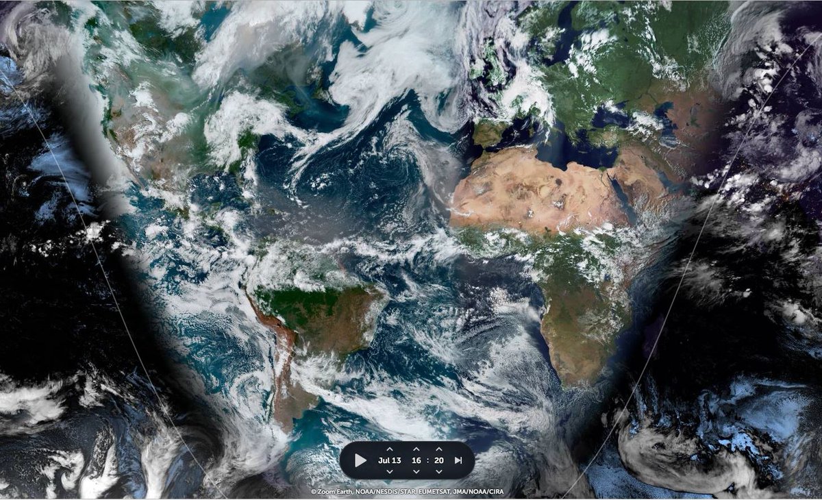
Today's Big Pictures provide a view of the entire planet today in three images.
1. The Atlantic 2. The Pacific 3. Asia
Sometimes its helpful to take a broad view and remember that we are all on this planet together. And that we share the one amazing life giving biosphere.
I found another #MonsoonBurst in the pipeline, this time over the Western Pacific. One which shows very clearly that weird weather is now a universal phenomena in the Northern Hemisphere. And it all started with another Typhoon...
The full monsoon has now arrived in the #HornOfAfrica. Very intense rain has begun in the Nile Basin and will continue for a week or more.
What will happen in the #MiddleEast is less clear, but it will involve a lot of rain and #ArabianStorms. Today's forecasts follow.
This animation shows the flow of rain bearing clouds heading south west across Pakistan which signals the first phase of an event which will intensify significantly over coming days.
This animation shows under wrapped in pulsating bands of storms headed both East and West. It is this intense period of Monsoon activity which is powering the phenomena that his bringing this rain to Yemen, Oman and Saudi Arabia.