,
12 tweets,
5 min read
Read on Twitter
For your amusement #MurrayDarling followers, I made another segmented flow-duration curve. Again, data freely available from WaterNSW, here: realtimedata.waternsw.com.au/water.stm
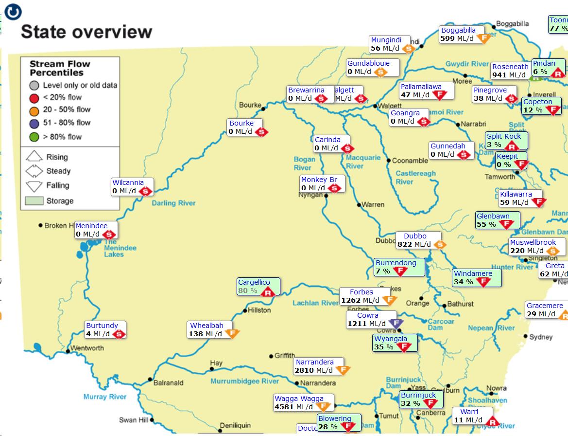
You might recall that I previously made one for the lower Darling River, at Wilcannia. Here's the WaterNSW map:
You might recall that I previously made one for the lower Darling River, at Wilcannia. Here's the WaterNSW map:
The Wilcannia one looks like this; with calculated flow stats. Yes folks, that's an *80% reduction* in median flow over the last 30 years.
(Remember flow is plotted on a log scale.)
(Remember flow is plotted on a log scale.)

The checked-and-rechecked stats there look like this:

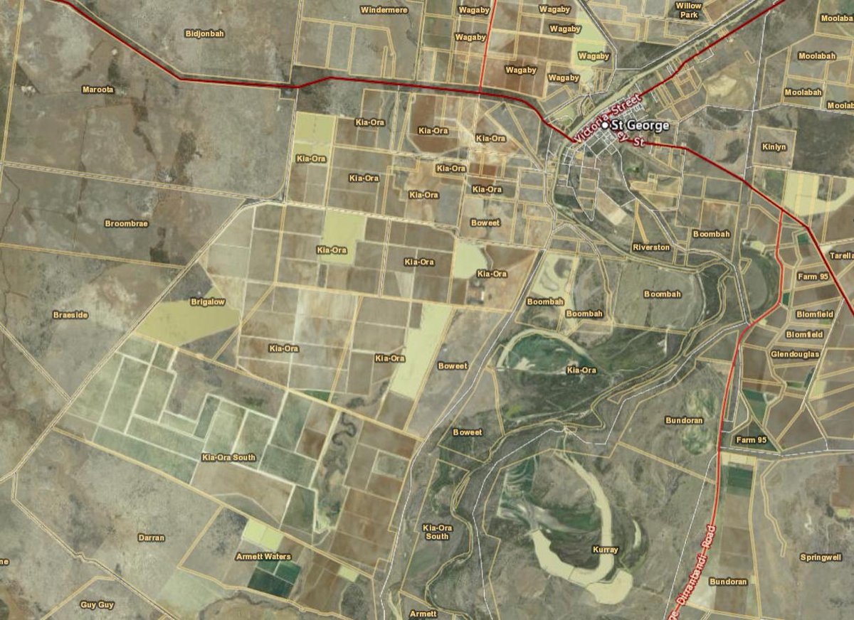
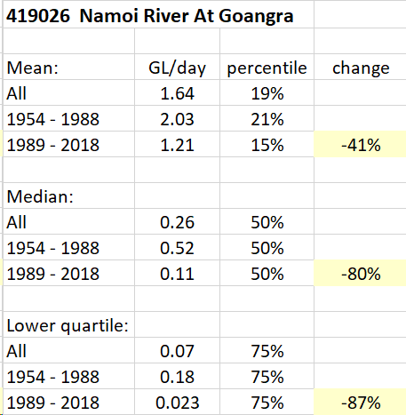
So I made another for the Namoi River at Goangra, a few ks upstream of Walgett. Guess what ... same-same.
(Again flow is plotted on a log scale.)
(Again flow is plotted on a log scale.)

...And the stats for the Namoi River at Goangra look like this.
Ever wondered why you're not hearing this data from pollies, or, for that matter, from the Murray-Darling Basin Authority (#MDBA)? Odd, isn't it.
Ever wondered why you're not hearing this data from pollies, or, for that matter, from the Murray-Darling Basin Authority (#MDBA)? Odd, isn't it.
This is just data; make of it what you will. It's pretty hard to fudge it, though hiding it in plain sight seems to be trivially easy.
Here's the months of each year below 1 GL/day mean flow, Namoi at Goangra:
Here's the months of each year below 1 GL/day mean flow, Namoi at Goangra:

Again, changes in flow-duration curve shapes like these are suggestive of an extractive cause. Drought would be expected to lower the *whole curve*, not just the part at low to medium flows.


Here's another simpler view in case you're struggling. The trend line shown is for data on the page (flows above 3GL/day are treated as if they were 3GL/day).
Yes it really is stuffed.
Yes it really is stuffed.

And ... reminder ... in case you're thinking that's all down to drought. It bloody well isn't.
Did another. This is the Macquarie River at Carinda, about 60km southwest of Walgett and not far above the confluence with the Darling. Data quality at this gauge isn't as good as the other two (gaps; quality tags), but it's not terrible.
Surprise! The picture is the same:
Surprise! The picture is the same:


In case you've missed it, people are lying to you about the state of this river system. Flat-out lying.
The Darling River system isn't dying; it is being killed ... by criminals.