Tomorrow Ethiopia will go to the polls. #GERD, the Great Ethiopian Renaissance Dam, a project announced back in 2011 is a key election issue. The dam filling is about to begin.
This image shows Lake Tana, where the #Abbay river begins.
Today's rainfall forecasts follow.
Zooming out to show North Ethiopia this morning we can now see Tigray, where a horrific war began in November 2020, another key issue in this election.
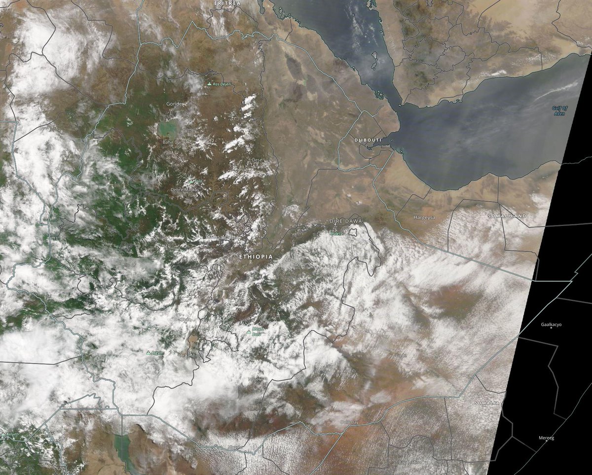
Zooming out still further we can now see all of the ancient nation of Ethiopia. At the top right (the triangle bordered by cloud, we can see the northern end of the great rift where the Indian and African tectonic plates are slowly pulling away from each other.
Not yet a week and @IsraeliPM@naftalibennett’s premiership is not going well. On Wed, Thurs & Friday he bombed Gaza. Later on Friday he offered Palestinians 1 million vaccines only to have them refused because they are near their expiry date.
This statement released Friday in Hebrew in his Telegram Channel explained his decision to provide vaccines to Palestinians, something that international observers have been calling on Israel to do for months.
It’s never a good idea in politics to read the twitter replies, and doubly so in Israeli politics it seems.
See four satellite images taken today of major water transport events from @NASA Modis below. 1. Monsoon winds leaving India 2. Monsoon winds arriving Africa 3. Closeup of the #HornOfAfrica 4. The latest WMA plume.
Today's #Africa and #Middle East rainfall forecasts follow.
Two views of today's heavy rainfall in the Nile Basin and along the Red Sea Coast.
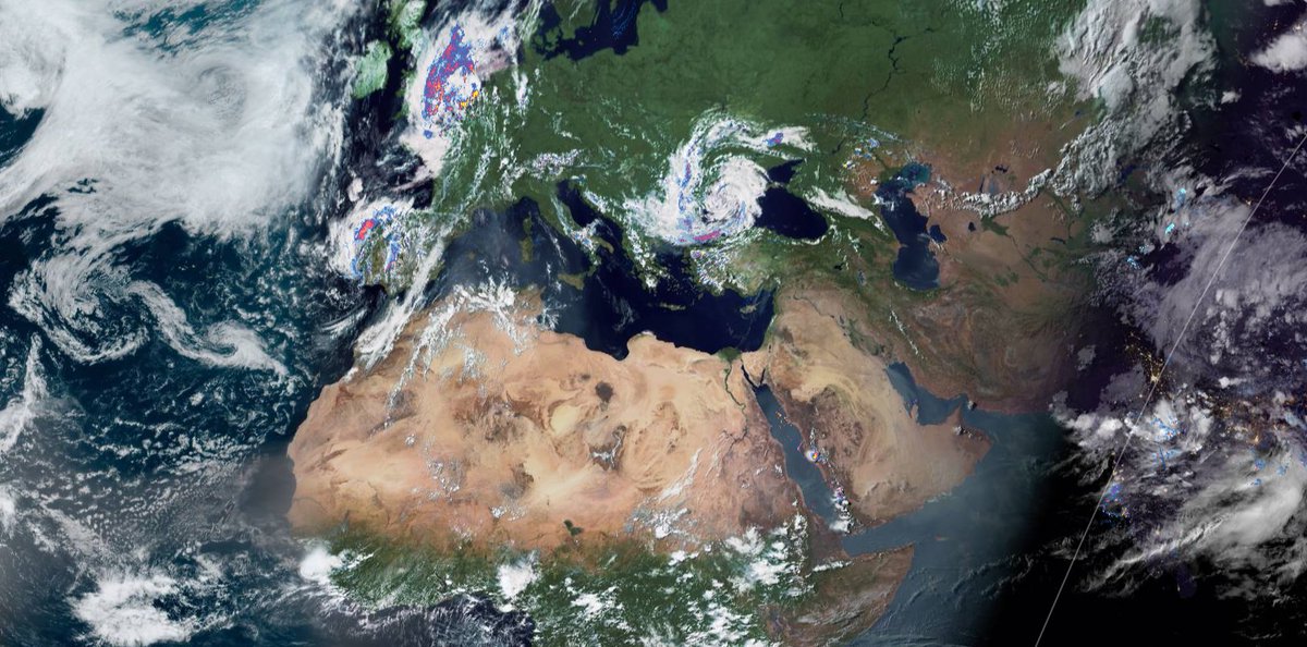
A big picture view from the Atlantic to the Bay of Bengal. It is extraordinary how long the Leviathan storm has been stationary in the middle of the picture near the Black Sea. It started in late May!
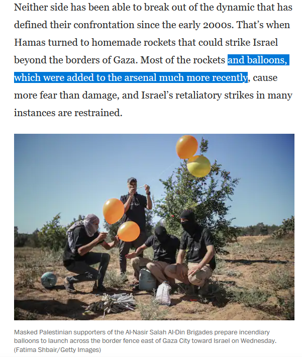
There are some seriously silly statements in this @WashingtonPost, but its still an interesting round-up of the events of the past five days. The Balloons vs Bombs story.
It's morning in Europe after a day of destructive weather in Spain and the Netherlands in particular. The low discussed in recent #EuropeBigWet updates has arrived and as expected is bringing a significant change in the pattern over Europe.
Extended update follows.
#EuropeBigWet coverage of began on June 4th. But April & May were weird too.
The cause of the unusual weather being experienced in Europe, Sahara, the United States and he Middle East is the same. Very high levels of airborn water vapour in northern hemisphere.
These two images 18th June show the visible part, cloud cover in the North Atlantic/Pacific.
Satellite images of the monsoon winds path to the #HornOfAfrica and #MiddleEast in three pictures. 1. The source... Bay of Bengal 2. The voyage.... The Arabian Sea 3. Landfall
Today's rainfall forecasts for the wider area follow.
Four North Africa 10-Day rainfall forecasts for today June 18th. Forecasts for the West Africa Monsoon are continuing to move north particularly in the West.