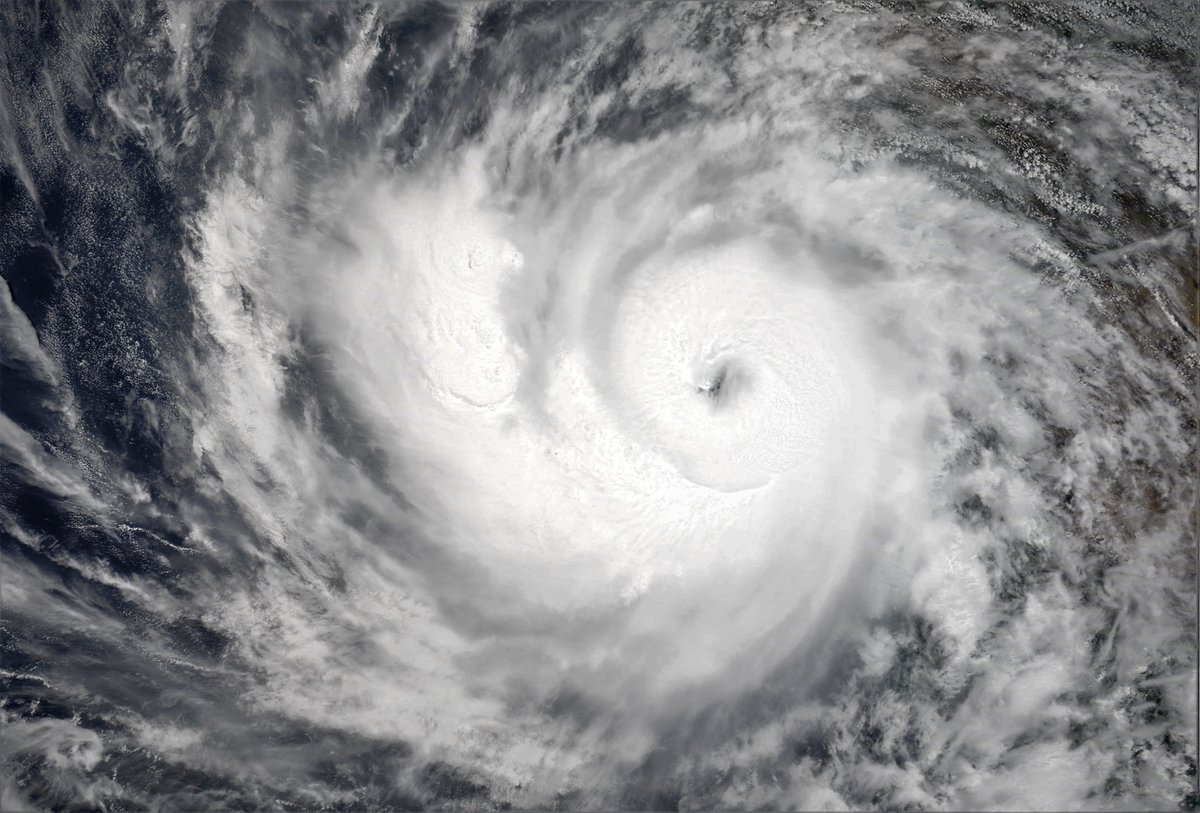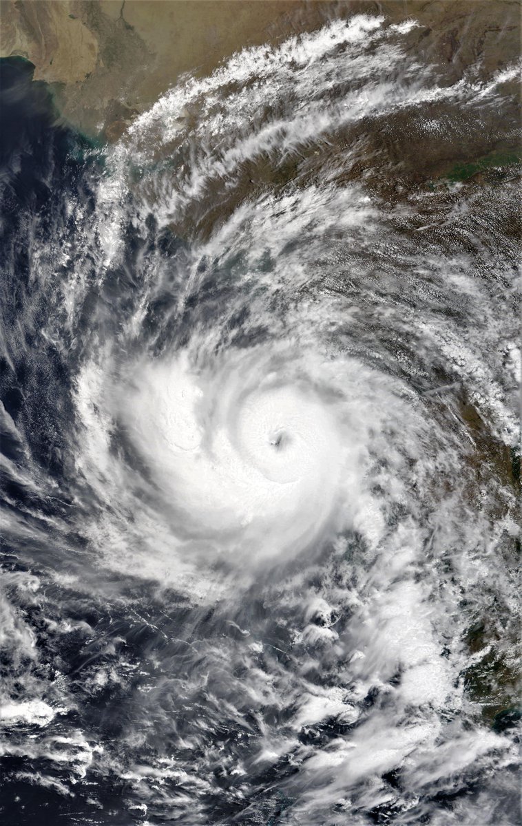
Severe Cyclone Tauktae is happening..... moving north up the West India Coastline and strengthening rapidly. It is expected to become a very severe storm (Cat 3) in 48 hours.
Today's #MiddleEast and #HornOfAfrica forecasts follow,
Today's #MiddleEast and #HornOfAfrica forecasts follow,
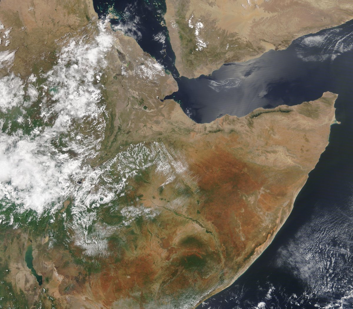
Meanwhile back on solid ground, East Africa is looking resplendently verdant this morning. Here in a photo taken by the @NASA Modis satellite. 


Eyes in the sky....
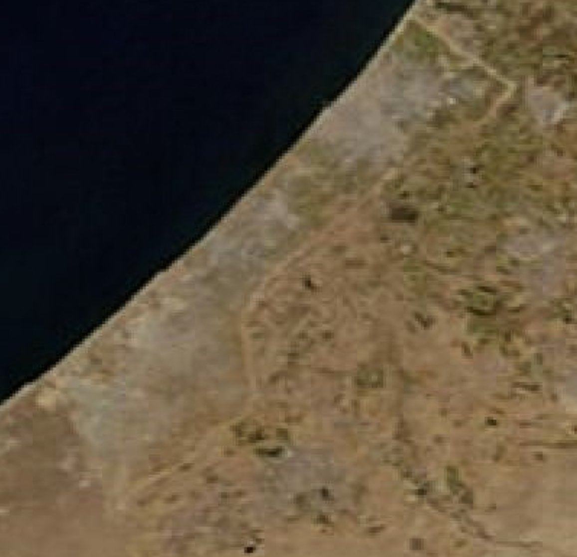
There's an unusually clear picture today of the Levant, Israel, Gaza and Jerusalem as the world is watching as the horrific bombardment of Gaza continue. Including today, the bombing of the @AJEnglish and @AP offices.
War crimes are multiplying by the hour.


There's an unusually clear picture today of the Levant, Israel, Gaza and Jerusalem as the world is watching as the horrific bombardment of Gaza continue. Including today, the bombing of the @AJEnglish and @AP offices.
War crimes are multiplying by the hour.



May 15th 10-Day accumulated rainfall forecasts for North Africa. The CMC and KMA modes forecasts are far more realistic than those of the relatively speaking more senior GFS and ECMWF models. 


Two animations of today's formation of clouds from evaporation taking place in the center of the dryest parts of the Sahara in Algeria and Libya today. The first begins late morning....
... and a wider version from the afternoon as the sun sets over the #MiddleEast
This animation shows weather returning to pre-cyclone-formation patterns in the #HornOfAfrica now that Cyclone #Tauktae is moving further way.
Its interesting to me that this includes the easterly high altitude flow towards Oman from the CAR.
Its interesting to me that this includes the easterly high altitude flow towards Oman from the CAR.
Here are today's rainfall forecasts.
The 15th May 10 Day rain forecasts for the #HornOfAfrica however have not returned to pre-#Tauktae patterns however.
#Sudan #SouthSudan #Ethiopia #HornOfAfrica #Somalia #Somaliland #GERD


The 15th May 10 Day rain forecasts for the #HornOfAfrica however have not returned to pre-#Tauktae patterns however.
#Sudan #SouthSudan #Ethiopia #HornOfAfrica #Somalia #Somaliland #GERD


May 15th 3-day #HornOfAfrica rainfall forecasts till midnight Tuesday.
#Sudan #SouthSudan #5Ethiopia #HornOfAfrica #Somalia #Somaliland #GERD


#Sudan #SouthSudan #5Ethiopia #HornOfAfrica #Somalia #Somaliland #GERD


A couple of storm reports today from @Arab_Storms follow. The first from an overflowing dam.
https://twitter.com/Arab_Storms/status/1393638032197267457?s=20
And a video of #Tauktae from India, the destruction of a house.
https://twitter.com/Arab_Storms/status/1393633235050143744?s=20
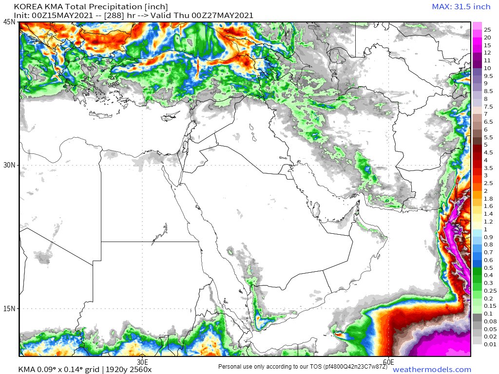
May 15th, 10 day accumulated rain forecasts for the #MiddleEast from the GFS, ECMWF, CMC & KMA weather models.
@Arab_Storms
#ArabianStorms
#KSA #Yemen #Oman #Jordan #Sudan #Iran #Syria #GERD #Sudan #DesertRain
الله أعلم


@Arab_Storms
#ArabianStorms
#KSA #Yemen #Oman #Jordan #Sudan #Iran #Syria #GERD #Sudan #DesertRain
الله أعلم


Today's 3-day accumulated rainfall forecasts for the #MiddleEast to midnight Wednesday. 


The final rainfall forecasts for today, ultra-long range GFS (16-days) and KMA (12-days).
Here are the last three GFS runs and that of the KMA.
لله أعلم


Here are the last three GFS runs and that of the KMA.
لله أعلم


Finally, a Cyclone #Tauktae - a name that refers to a highly vocal Myanmar Gecko or Lizard - update.
The latest long range MLSP (sea level pressure) GFS model simulation now has a a second cyclone forming.
https://twitter.com/ParveenKaswan/status/1393431527124471813?s=20
The latest long range MLSP (sea level pressure) GFS model simulation now has a a second cyclone forming.
And a precipitable water vapour simulation for the same period.
• • •
Missing some Tweet in this thread? You can try to
force a refresh


