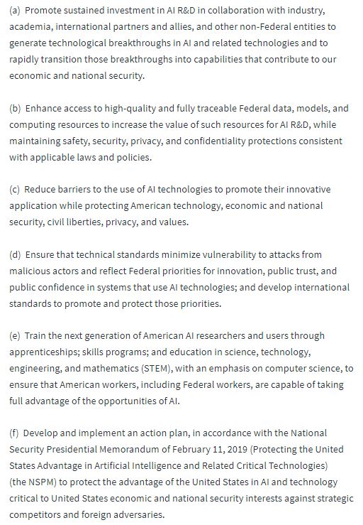
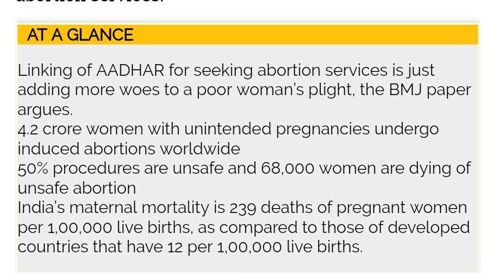
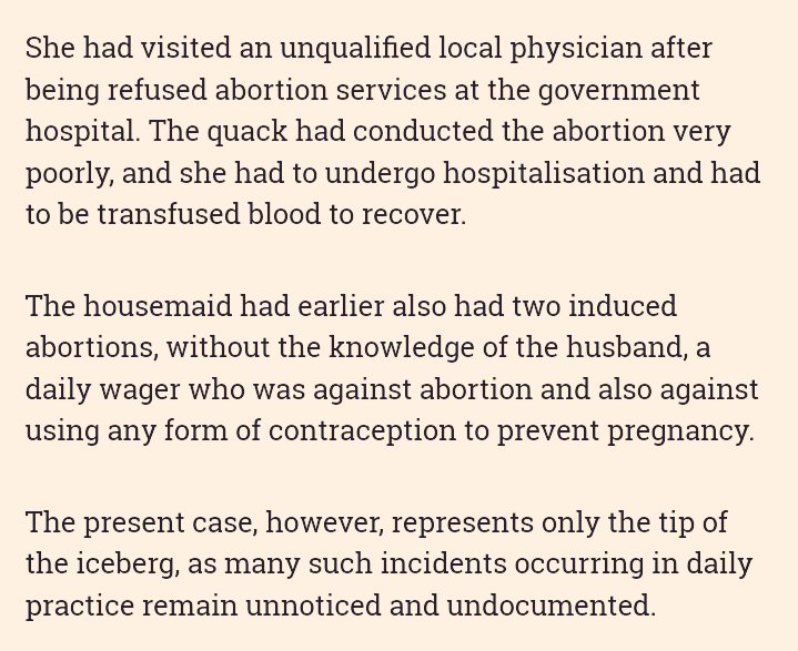
Governments use satellite imagery of cities, and algorithmic analysis of these images, for planning and policies.
This article shows how differences in the algorithms can lead to bias against certain sections of the city/groups of people:
theatlantic.com/technology/arc…
lukeoakdenrayner.wordpress.com/2018/07/11/med…
smbc-comics.com/comic/rise-of-…
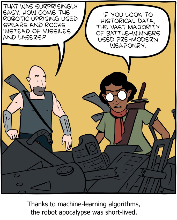
reddit.com/r/funny/commen…
Adding this to my "AI has problems" thread
arstechnica.com/gadgets/2018/1…
Tencent is working on AI that can detect Parkinson's in 3 minutes: forbes.com/sites/samshead…
via @exponentialview newsletter (highly recommended)
If you don't understand this, you need to educate yourself
(For non-Hindi speakers, the translation is: for quick enquiry, water the farms)
singularityhub.com/2019/01/11/und…

