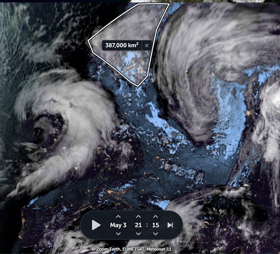
A 2nd theme of today's weather observations is the awesome power of atmospheric water transfer.
Here we can see how a stream of water originating in the Central African Republic is fueling storms in Saudi Arabia & India.
Today's forecasts follow.
Here we can see how a stream of water originating in the Central African Republic is fueling storms in Saudi Arabia & India.
Today's forecasts follow.
Here we see atmospheric water leaving north across the Sahara for Europe this afternoon.
And here we see the booster engine for the flow of atmospheric water to India, in the highlands of Ethiopia and the deserts of the Sudan.
It seems likely that the rains will reach Khartoum soon.
It seems likely that the rains will reach Khartoum soon.
May 2nd, 10-day accumulated rain forecasts, for Ethiopia, from the ECMWF, GFS and KMA models.
#Sudan #SouthSudan #Ethiopia #GERD #Africa #HornOfAfrica #DesertRain


#Sudan #SouthSudan #Ethiopia #GERD #Africa #HornOfAfrica #DesertRain


And a couple of fresh @Arab_Storms eyewitness videos of #ArabianStorms the first from near Makkah.
https://twitter.com/Arab_Storms/status/1388866714062839810?s=20
And the second @Arab_Storms #ArabianStorms tweet contains an eyewitness video showing the formation of part of the storm in the attached animation. [I suspect Zoom.Earth from @zoom_earth incorporates some game design AI.]
https://twitter.com/turki_alwaily/status/1388824854091214849?s=20
May 2nd, 10-day accumulated rain forecasts for the #MiddleEast from GFS, ECMWF, CMC, & KMA weather models.
@Arab_Storms
#ArabianStorms
#KSA #Yemen #Oman #Levant #Jordan #Sudan #UAE #Iraq #Iran #Syria #Kuwait #GERD #NileBasin #HornOfAfrica #DesertRain
الله أعلم


@Arab_Storms
#ArabianStorms
#KSA #Yemen #Oman #Levant #Jordan #Sudan #UAE #Iraq #Iran #Syria #Kuwait #GERD #NileBasin #HornOfAfrica #DesertRain
الله أعلم


Here is how the storm mentioned in the @ArabStorms tweet above developed over the course of the afternoon, eventually covering an area 415,000 Sq Kms.
May 2nd, 3 day accumulated rain forecasts (to Wednesday at Midnight), for the #MiddleEast from the GFS, ECMWF, CMC & KMA weather models.
@Arab_Storms
#ArabianStorms
#KSA #Yemen #Oman #Jordan #Sudan #Iran #Syria #GERD #Sudan #DesertRain
الله أعلم


@Arab_Storms
#ArabianStorms
#KSA #Yemen #Oman #Jordan #Sudan #Iran #Syria #GERD #Sudan #DesertRain
الله أعلم


Finally, three May 2nd, ultra long-range, accumulated rain forecasts for the #MiddleEast from the GFS, GEFS (16-day) and KMA (12 day) models.
#ArabianStorms #Ramadan
[NOTE: CMC & KMA long range models have been closer to observations than GFS and ECMWF]
الله أعلم


#ArabianStorms #Ramadan
[NOTE: CMC & KMA long range models have been closer to observations than GFS and ECMWF]
الله أعلم


• • •
Missing some Tweet in this thread? You can try to
force a refresh


