A tweet for #WorldTownPlanningDay from the @natlibscotmaps earlier threw up a reminder of one of my favourite less weel kent features of the Edinburgh New Town 

@natlibscotmaps Why on earth does Craig's regular Georgian grid of Princes/George/Queen Street of 1768 meet his 1773 Georgian Square of St. James at such a jarring angle? What's all that about?

@natlibscotmaps Clue 1 is in those dates. The two were planned 5 years apart. On his 1768 plan, the St. James area is still the Feu of Clelland's Yards, a gardens and nursery land and some buildings on a regular plan but offset at about 47 degrees from the New Town

@natlibscotmaps Clelland's Yards is on the north slope of a natural rise in the land known as Moutrie's Hill, from Multree or Mulberry Tree after the trees planted there by the French exiles of Picardy Place. (Hence the modern-day Multree's Walk)
@natlibscotmaps Mapping of the area of the New Town before Craig's Plan is pretty scant, as it always centres on the Old Town. But this 1765 plan captures the area and that offset of Clelland's Fue. The name is recorded here as Multers Hill.

@natlibscotmaps So Before Craig's New Town was planned, there are already buildings and some streets formalised, offset at that 47 degrees
@natlibscotmaps Craig laid out the the Princes/Queen/George Street New Town for the City. He laid out St. James for three private citizens as a speculative development; the writer Ferguson and lawyers Gray and Steuart who owned most of the Clelland's Feu.
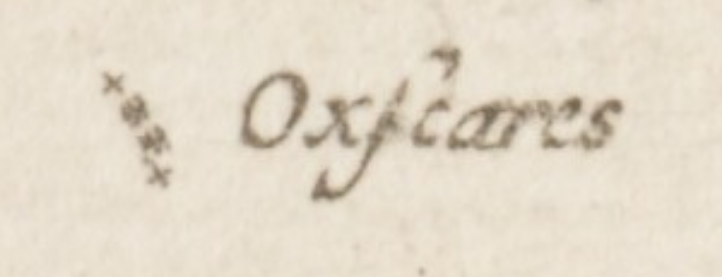
@natlibscotmaps As a wee tangent, Ferguson, Gray and Steuart were all three ardent Jacobites. Stuart Harris suggests therefore that St. James is actually named for the "Old Pretender" James Francis Edward Stuart, as is King (now Little King) street. Very risqué not 30 years Culloden hence.
@natlibscotmaps Back on topic, in those early maps there's something else tantalisingly on display. Loans (lanes) follow the grid pattern. One in particular.

@natlibscotmaps It's tantalising, because despite all the efforts of the Georgian developers, the Victorian rebuilders and the 20th Century destroyers and re-destroyers have thrown at it, it (and the west face of St. James' Square) are still there

@natlibscotmaps We are talking of course about the enigmatic Gabriel's Road (picture Geograph, Jim Barton geograph.org.uk/photo/3725953)

@natlibscotmaps Gabriel's Road maintains the alignment that predates the Georgian planning. Rather than build over it, they built around it and included the alignment in the buildings (Guildford Arms and Café Royal patrons will be familiar with this).
@natlibscotmaps The right of way of Gabriel's Road is also why there's a gate and public access from Register Place through the Square outside the Royal Bank of Scotland HQ at 36 St. Andrew Square.

@natlibscotmaps Oh but what's this? Another Gabriel's Road? Almost a mile away in Stockbridge? What's that doing there? Surely just a coincidence?


@natlibscotmaps No, not a coincidence at all, it's the same road, just the middle part was long built over, but either end escaped the planners and builders.
@natlibscotmaps Here we are in 1804 before Saxe Coburg Place was laid out. This section was known as the Dummie Steps, obviously because it was stepped but because in the Property of Heriot's Hospital was the Deaf and Dumb Institution, the building now part of Edinburgh Academy


@natlibscotmaps That Dummie, from the Scots for Dumb, is where Dumbiedykes (previously Dummiedikes) got its name, from the institute for the Dumb (the Dummiehoose) set up by James Braidwood in 1763, and the walls (dykes) that enclosed the Dischflats land.
@natlibscotmaps Walter Scott borrowed the name for a comical character in Heart of Midlothian, changing it to Dumbiedykes from Dummiedykes. The change stuck, and the street names and neighbourhood took up the b, even though it should be silent.
@natlibscotmaps Anyway, back to Gabriel's Road. What is it and why is it there? Well the obvious thing to do is to join the ends together and see what happens. Well you get a (near enough) straight line between Inverleith House and the southern end.

@natlibscotmaps At the northern end was long a set of stepping stones, approximately where the Collin's Place colony is now. This allowed the river to be crossed. The theory is that the path was simply the direct route from the lands around Inverleith across the river to the town

@natlibscotmaps And, via the community of Silvermills, one could take a direct line to the head of Leith Wynd, the northern entrance to the city through the Leith Port.


@natlibscotmaps There are a few other fragments of Gabriel's Road if you follow along it. East Silvermills Lane...

@natlibscotmaps And off Abercrombie Place, a wall line at an odd angle in a sea of right angles


@natlibscotmaps Old & New Edinburgh records the "beautiful and sequestered footpath bordered by hawthorn hedges, known by the name of Gabriel's Road, is said to have been construced for the convenience of the ancient lairds of Inverleith to enable them to attend worship in St. Giles [kirk]"
@natlibscotmaps The meaning of the streetname is lost to time, a theory about it relating to an infamous murder is apparently spurious. And an old tavern in Broughton is said to have been named for the road (and not the other way around)
@natlibscotmaps Anyway, there you go. Hidden amongst the regular, monotonous Georgian grid of the New Town there are some little clues and reminders of an older time.
@natlibscotmaps Also available in tasty thread flavour threadreaderapp.com/thread/1192779…
@natlibscotmaps Footnote, the old alignment of Clelland's Feu was also invisibly demarcated in the parish boundaries, it being a detached "island" of St. Cuthbert's parish (the large parish that surrounded old Edinburgh), Craig's New Town being in St. Andrew's and St. Stephen's parishes