The two computer models which are known for their prowess in predicting cyclones continue to forecast cyclone formation in the Arabian Sea in coming days.
The question of whether these cyclones will form hangs over today's #MiddleEast and #HornOfAfrica rainfall forecasts.
The question of whether these cyclones will form hangs over today's #MiddleEast and #HornOfAfrica rainfall forecasts.
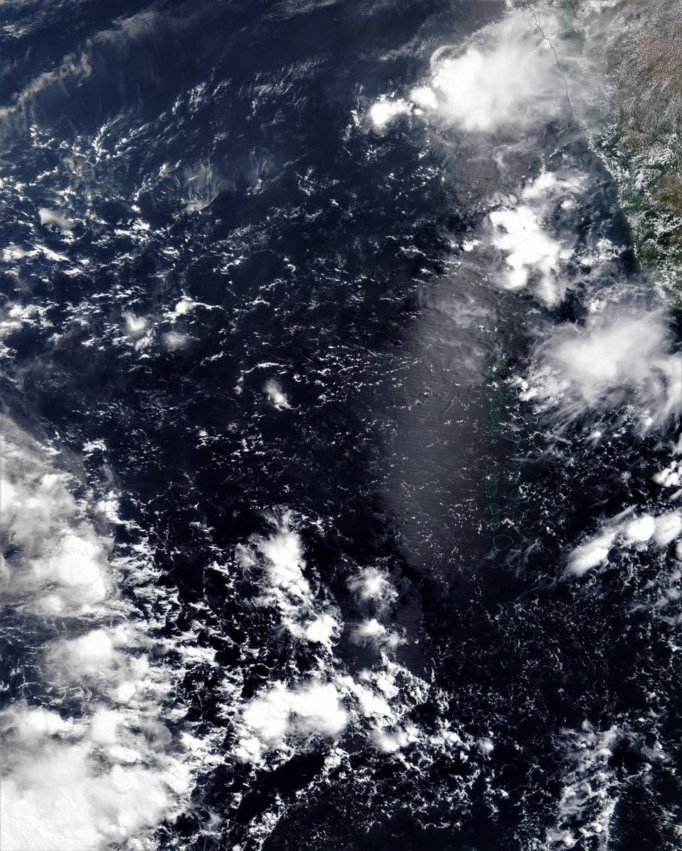
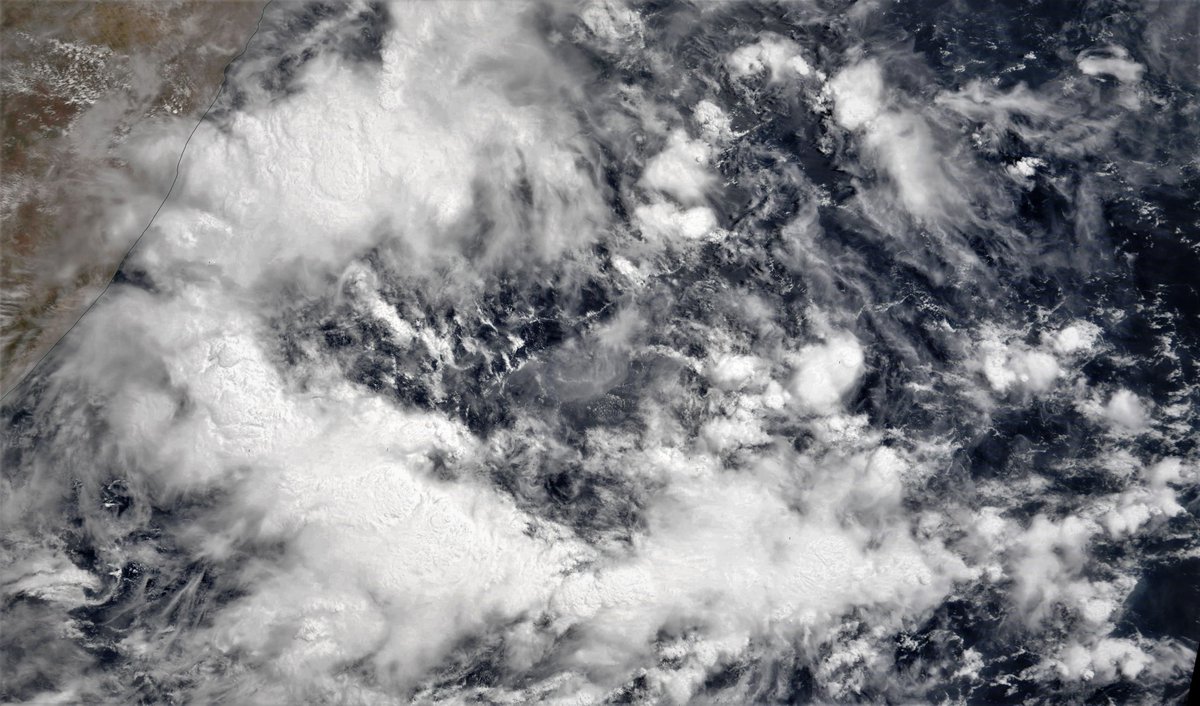
This image shows the Arabian Sea area where the GFS and ECMWF models are both expecting cyclone formation within the next 10 days, at different times and in different places. 

Here's the GFS 9th May model forecast for today showing formation starting on Friday and landfall five days later.
The ECMWF has formation a day later next Saturday, off the coast of Kerela India and landfall imminent on Wednesday 19th.
Neither the CMC or KMA models show formation at all in their latest runs. NOTE: Cyclone formation is a complicated process and may not happen at all.
Neither the CMC or KMA models show formation at all in their latest runs. NOTE: Cyclone formation is a complicated process and may not happen at all.
But cyclone or no cyclone the, the combination of intense thunderstorm activity in the Arabian Sea and on-shore winds may well result in increased rainfall over coming days as shown in these 10-day forecasts for North Africa from GFS, CMC (10 day) and KMA (12 day) models. 


Here are today's rainfall forecasts:
First up, May 9th, 10-day accumulated rain forecasts, for Ethiopia and the Horn of Africa from the @ECMWF, GFS and KMA weather models.
#Sudan #SouthSudan #Ethiopia #GERD #Africa #HornOfAfrica #DesertRain #Somalia #Somaliland


First up, May 9th, 10-day accumulated rain forecasts, for Ethiopia and the Horn of Africa from the @ECMWF, GFS and KMA weather models.
#Sudan #SouthSudan #Ethiopia #GERD #Africa #HornOfAfrica #DesertRain #Somalia #Somaliland


+ Here are 3-day accumulated rain forecasts, to Midnight Wednesday, for #Ethiopia and the #HornOfAfrica, again from the @ECMWF, GFS and KMA weather models.
The rain pattern has changed with more of a rain focus in the West Ethiopian Highlands - the #GERD #Abay watershed.


The rain pattern has changed with more of a rain focus in the West Ethiopian Highlands - the #GERD #Abay watershed.


It's been a quiet day for #ArabianStorms today with only modest thunderstorms along the Red Sea cost of #SaudiArabia. The strong winds across the Eastern Arabian Peninsula from the #HornOfAfrica to #Oman have finally died down.
Pictures: Caspian Sea, Aral Sea and Arabian Gulf.


Pictures: Caspian Sea, Aral Sea and Arabian Gulf.


While the rains gave stopped the video imagery keeps coming from @Arab_Storms, here an amazing video of Oman Mountain waterfalls.
https://twitter.com/Arab_Storms/status/1391157291840425986?s=20
Here are today's, May 9th, 10 day accumulated rain forecasts, for the #MiddleEast from the GFS, ECMWF (both showing a Cyclone), CMC & KMA weather models.
@Arab_Storms
#ArabianStorms
#KSA #Yemen #Oman #Jordan #Sudan #Iran #Syria #GERD #Sudan #DesertRain
الله أعلم


@Arab_Storms
#ArabianStorms
#KSA #Yemen #Oman #Jordan #Sudan #Iran #Syria #GERD #Sudan #DesertRain
الله أعلم


May 9th, 3 day accumulated rain forecasts (to Wednesday at Midnight), for the #MiddleEast from the GFS, ECMWF, CMC & KMA weather models.
@Arab_Storms
#ArabianStorms
#KSA #Yemen #Oman #Jordan #Sudan #Iran #Syria #GERD #Sudan #DesertRain
الله أعلم


@Arab_Storms
#ArabianStorms
#KSA #Yemen #Oman #Jordan #Sudan #Iran #Syria #GERD #Sudan #DesertRain
الله أعلم


And the final rainfall forecasts for tonight for the #MiddleEast are ultra-long range computer model forecasts, these provide a view of what a cyclone may bring >> The last 3 GFS (16 Day) model runs + the (12-Day) KMA model (no Cyclone).
الله أعلم


الله أعلم


And finally, a reminder that no cyclone has yet formed. If one does official warnings and information will be provided by the Joint Typhoon Warning Center from the U.S. Navy here >> metoc.navy.mil/jtwc/jtwc.html
/ENDS
/ENDS

@threadreaderapp unroll
• • •
Missing some Tweet in this thread? You can try to
force a refresh


