,
12 tweets,
4 min read
Read on Twitter
The Second World War warped how the United States mapped the world, and the artist Richard Edes Harrison was right at the center of it. 1/ 

The attack on Pearl Harbor was many things, among them an object lesson in the perils of the Europe-centered Mercator projection. How could a country in the “Far East” have attacked Hawai‘i, on the western edge of the map? 2/

Worse, the Mercator projection, designed for an age of East-West sail, made it look as if the USA was protected by huge oceanic moats. It made it hard to see air routes by which the country might be approached, arcing up toward the Arctic. 3/
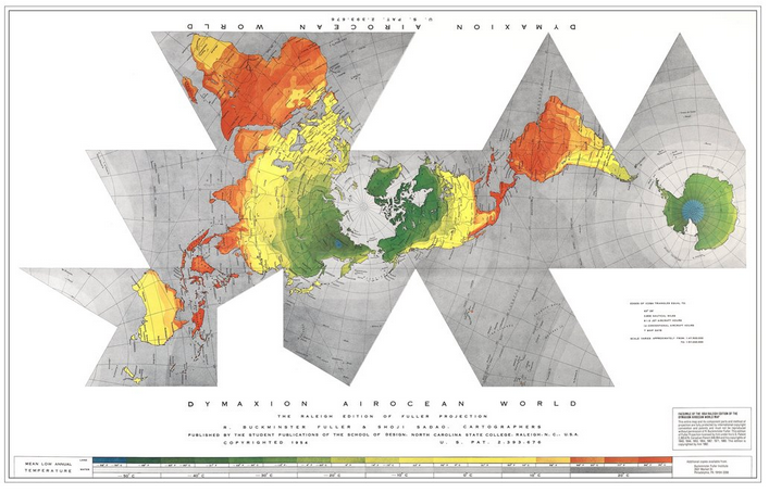
Major magazines went nuts printing new maps. One was Buckminster Fuller’s “Dymaxion Map,” breaking up the globe into triangles that could be reassembled in different ways to focus on different areas of combat. 4/
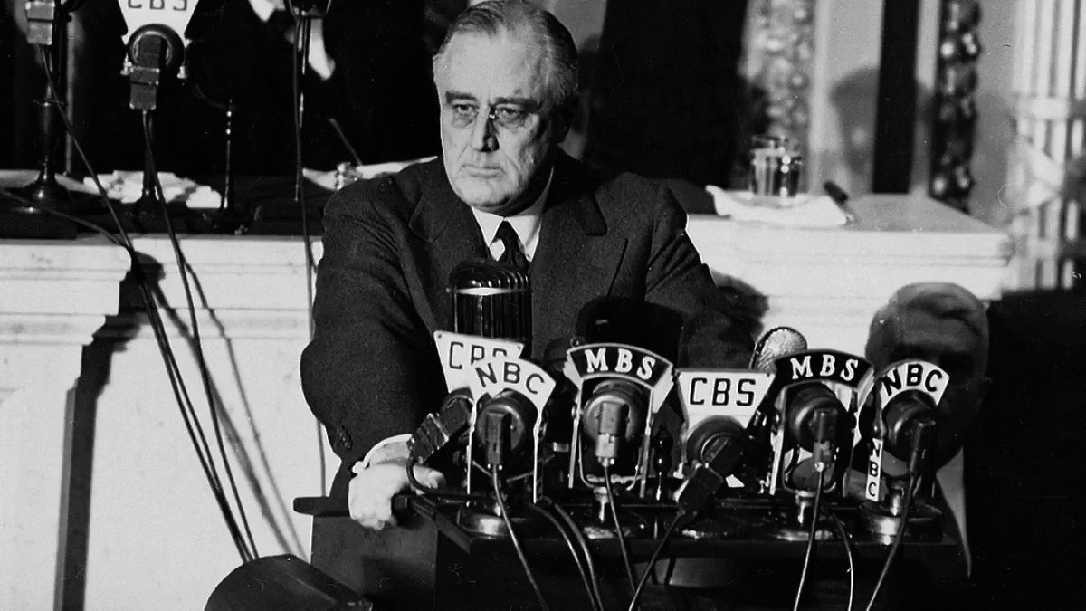
This was also the time when the word “global” came into fashion and when globes (as opposed to maps) got hot. Here’s FDR’s enormous globe with more than 17,000 place names on it. 5/

Richard Edes Harrison made a number of beautiful maps showing the planet viewed from the air. This one highlights the connection between Alaska (bottom) and Japan. 6/

Or China as seen from Guam. 7/

His most popular map was a “polar azimuthal projection,” centering the globe on the North Pole to show the proximity, especially by plane routes, of North America to Eurasia. 8/

That map became the basis for the original UN logo, designed by OSS agent Donal McLaughlin. It shows the United States as the center of the world, as it was in Harrison’s map. 9/
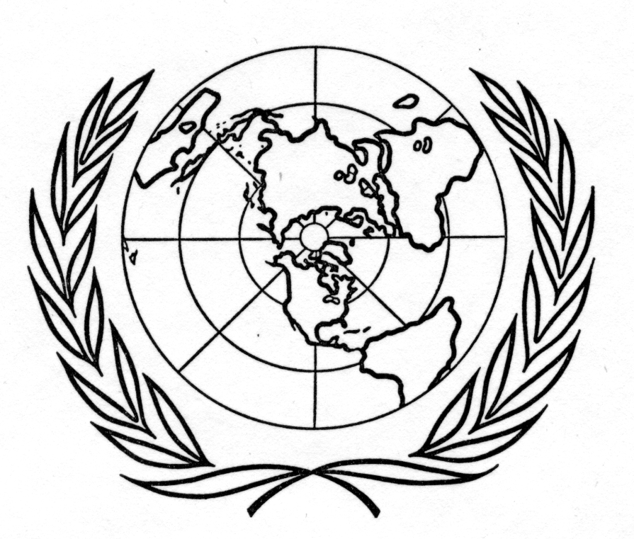
]The UN adjusted this by tilting the logo and then extending it so that southern South America wasn’t cropped out. But it remains a testament to Harrison’s powerful remapping of the world. 10/
Lots of writing about Harrison. Susan Schulten’s work is especially great. Here’s a taste:
newrepublic.com/article/117835…
And check out @thatbillrankin's book on this, too.
11/11
newrepublic.com/article/117835…
And check out @thatbillrankin's book on this, too.
11/11
Timothy Barney, Alan Henrikson, @mattfarish are all really useful on Harrison and the cartography of the 1940s.