The problem I see is with ML algorithm which uses LIDAR data and ~23 parameters from developed countries as training and testing datasets
Params like Vegetation r also problematic as they report difficulty in estimating for places like Florida
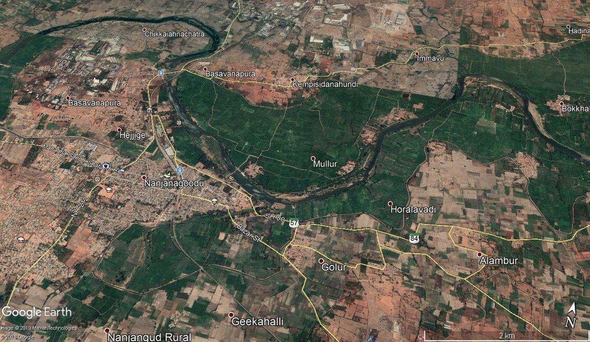
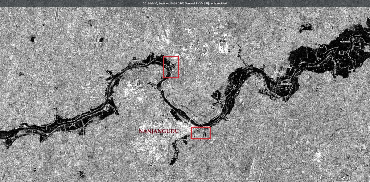
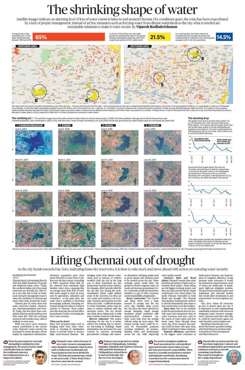
I have attempted sea level rise algorithms in many Indian states, my opinion is that if we can't take ground data, then there's no one method/ dataset that can answer these problems for all places at the same time.


